MyTopo
Lottie Louisiana US Topo Map
Couldn't load pickup availability
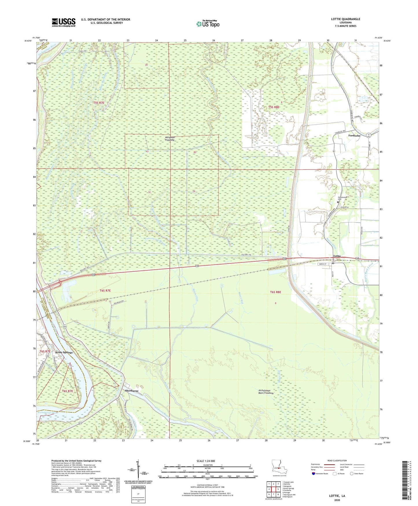
2024 topographic map quadrangle Lottie in the state of Louisiana. Scale: 1:24000. Based on the newly updated USGS 7.5' US Topo map series, this map is in the following counties: Pointe Coupee, St. Landry. The map contains contour data, water features, and other items you are used to seeing on USGS maps, but also has updated roads and other features. This is the next generation of topographic maps. Printed on high-quality waterproof paper with UV fade-resistant inks.
Quads adjacent to this one:
West: Krotz Springs
Northwest: Swayze Lake
North: Melville
Northeast: Morganza
East: Fordoche
Southeast: Maringouin
South: Maringouin NW
Southwest: Portage
This map covers the same area as the classic USGS quad with code o30091e6.
Contains the following named places: Alabama Bayou, Aline, Bayou Black East Fork, Bayou Close, Bayou Gerance, Bayou White, Bayou White Oil Field, Cottonwood Cemetery, Cottonwood Slough, East Krotz Springs, Elliot City, Gerance Bayou Oil Field, Lake Holloway, Latenache Bayou Oil and Gas Field, Little Alabama Bayou, Lottie, Lottie Oil and Gas Field, Lottie Post Office, McKneely Spur, Parish Governing Authority District 11, Prentiss Bayou, Sherburne, Sherburne Gas and Oil Field, Sherburne Wildlife Management Area