MyTopo
Monroe Lake Maine US Topo Map
Couldn't load pickup availability
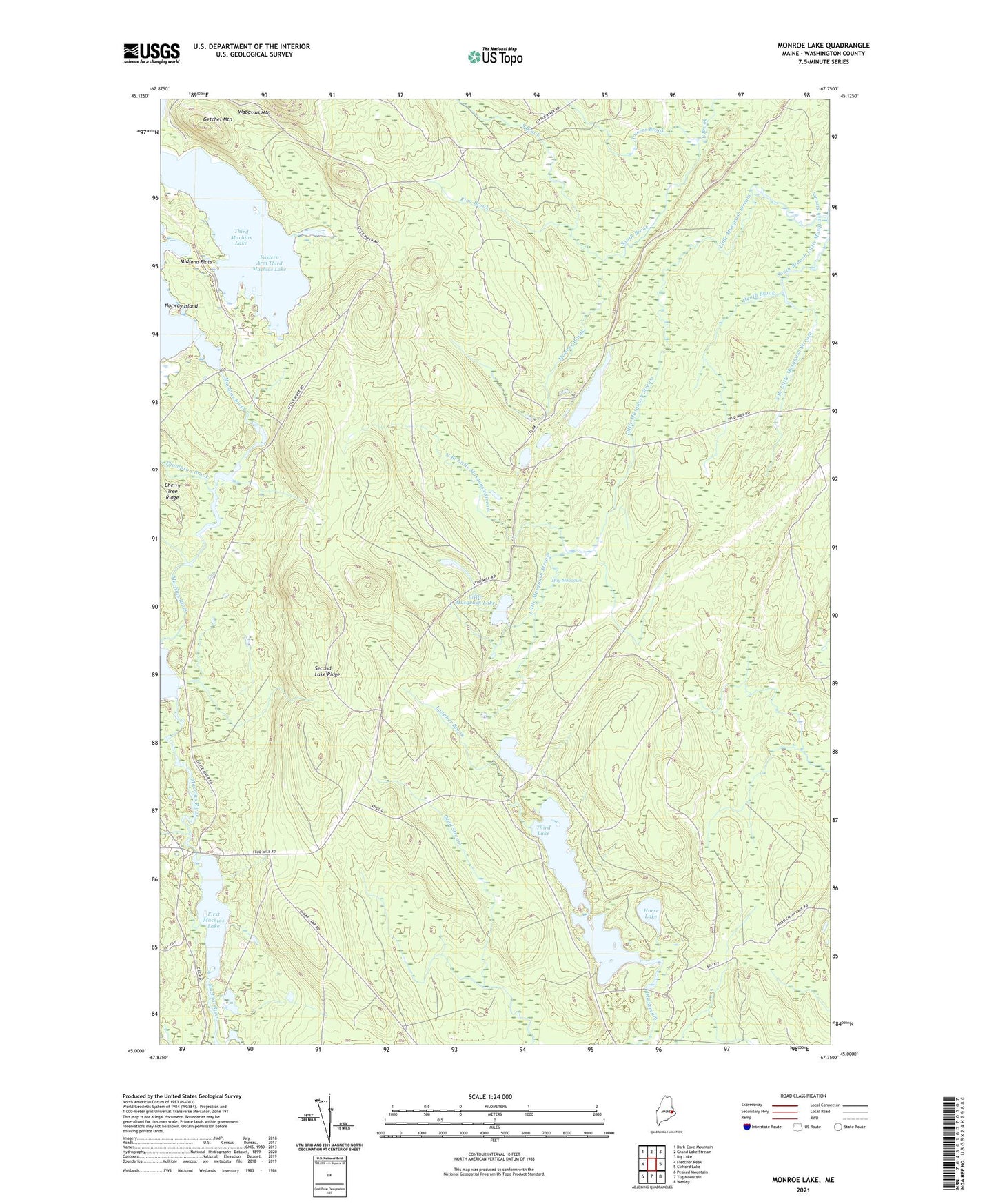
2024 topographic map quadrangle Monroe Lake in the state of Maine. Scale: 1:24000. Based on the newly updated USGS 7.5' US Topo map series, this map is in the following counties: Washington. The map contains contour data, water features, and other items you are used to seeing on USGS maps, but also has updated roads and other features. This is the next generation of topographic maps. Printed on high-quality waterproof paper with UV fade-resistant inks.
Quads adjacent to this one:
West: Fletcher Peak
Northwest: Dark Cove Mountain
North: Grand Lake Stream
Northeast: Big Lake
East: Clifford Lake
Southeast: Wesley
South: Tug Mountain
Southwest: Peaked Mountain
This map covers the same area as the classic USGS quad with code o45067a7.
Contains the following named places: Eastern Arm Third Machias Lake, First Machias Lake, Fletcher Brook, Fourth Lake, Getchel Mountain, Hay Meadows, Heath Brook, Horse Lake, King Brook, Lanpher Brook, Little Musquash Lake, Magazine Brook, Midland Flats, Monroe Brook, Monroe Lake, North Branch Little Musquash Stream, Norway Island, Second Lake, Second Lake Dam, Second Lake Ridge, South Branch Little Musquash Stream, T37 MD BPP, T43 MD BPP, Third Lake, Thompson Brook, Towers Brook