MyTopo
Dinca Michigan US Topo Map
Couldn't load pickup availability
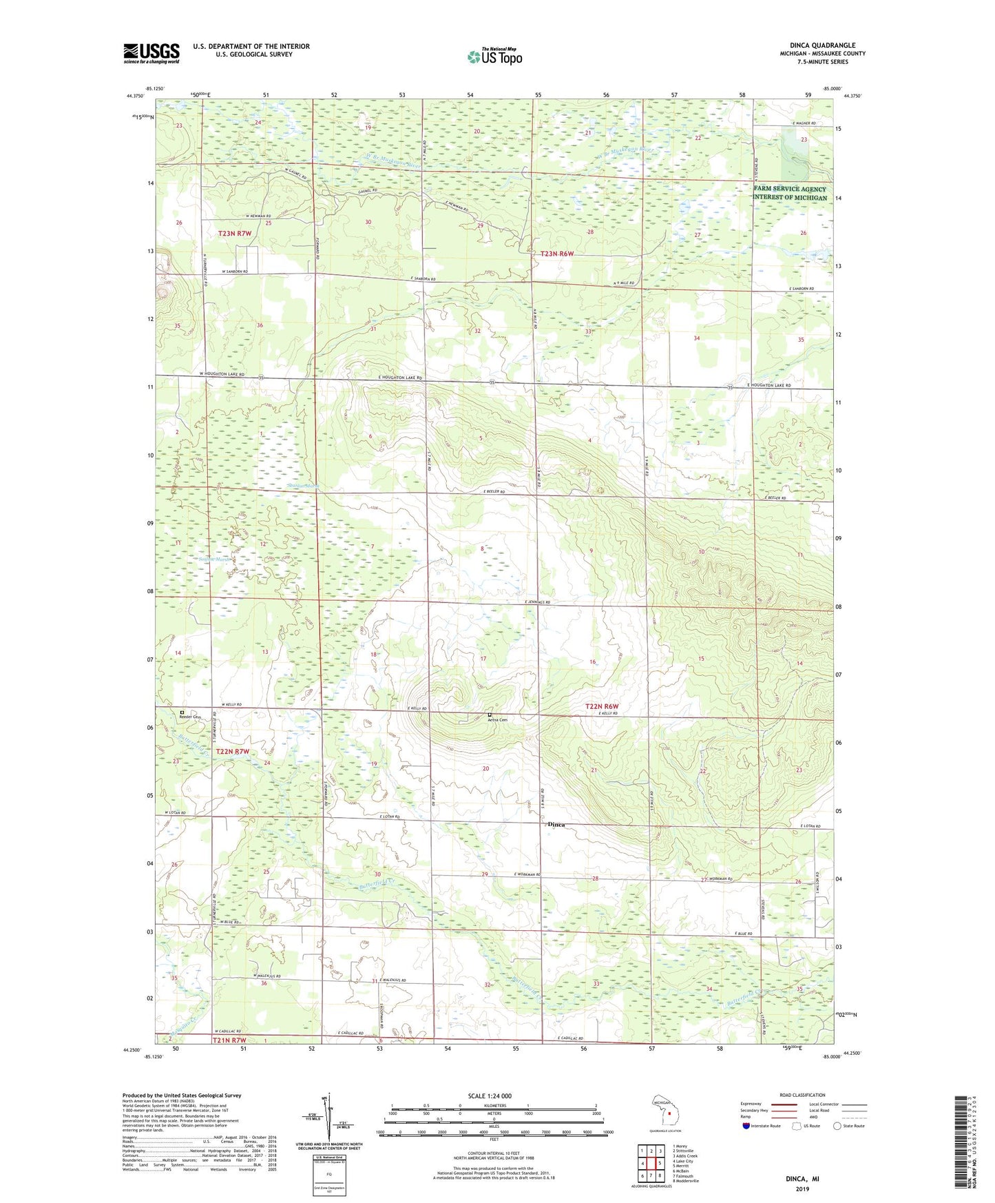
2023 topographic map quadrangle Dinca in the state of Michigan. Scale: 1:24000. Based on the newly updated USGS 7.5' US Topo map series, this map is in the following counties: Missaukee. The map contains contour data, water features, and other items you are used to seeing on USGS maps, but also has updated roads and other features. This is the next generation of topographic maps. Printed on high-quality waterproof paper with UV fade-resistant inks.
Quads adjacent to this one:
West: Lake City
Northwest: Morey
North: Stittsville
Northeast: Addis Creek
East: Merritt
Southeast: Moddersville
South: Falmouth
Southwest: McBain
This map covers the same area as the classic USGS quad with code o44085c1.
Contains the following named places: Aetna Cemetery, Aetna Church, Barger Post Office, Butterfield Oil Field, Dinca, Dinca Post Office, Keelans Corner, Merritt Speedway, Missaukee County, Missaukee Post Office, Mynnings Post Office, Reeder Cemetery, Seafuse Marsh, Seanlan Marsh, Township of Aetna