MyTopo
Woodville NE Michigan US Topo Map
Couldn't load pickup availability
Also explore the Woodville NE Forest Service Topo of this same quad for updated USFS data
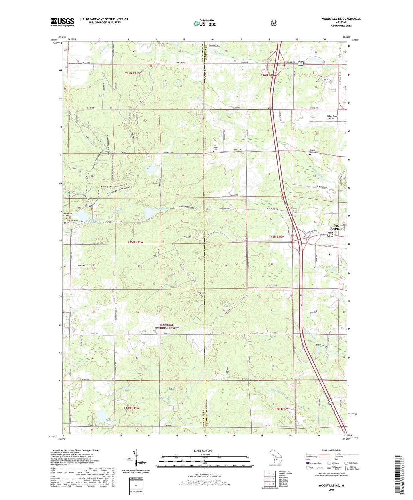
2023 topographic map quadrangle Woodville NE in the state of Michigan. Scale: 1:24000. Based on the newly updated USGS 7.5' US Topo map series, this map is in the following counties: Mecosta, Newaygo. The map contains contour data, water features, and other items you are used to seeing on USGS maps, but also has updated roads and other features. This is the next generation of topographic maps. Printed on high-quality waterproof paper with UV fade-resistant inks.
Quads adjacent to this one:
West: Woodville
Northwest: Whipple Lake
North: Reed City South
Northeast: Hersey
East: Big Rapids
Southeast: Stanwood
South: Big Bend
Southwest: Big Prairie
This map covers the same area as the classic USGS quad with code o43085f5.
Contains the following named places: Big Rapids High School, Big Rapids Rest Area, Bisel Lake, Charter Township of Big Rapids, Cobb School, Good Shepherd Lutheran Church, Green School, Hatfield Church, Havenview Mobile Home Court, Hillside Baptist Church, Hungerford Cemetery, Hungerford Lake, Hungerford Post Office, Hungerford Station, Jehovah's Witnesses, Katke Golf Course, Mount Carmel Cemetery, Mud Lake, New Directions High School, Resurrection Life Church, Roben-Hood Airport, Township of Norwich, Turnbull Lake, Van Gilder Cemetery, Vangilder School, WAAQ-FM (Big Rapids)