MyTopo
Rushford West Minnesota US Topo Map
Couldn't load pickup availability
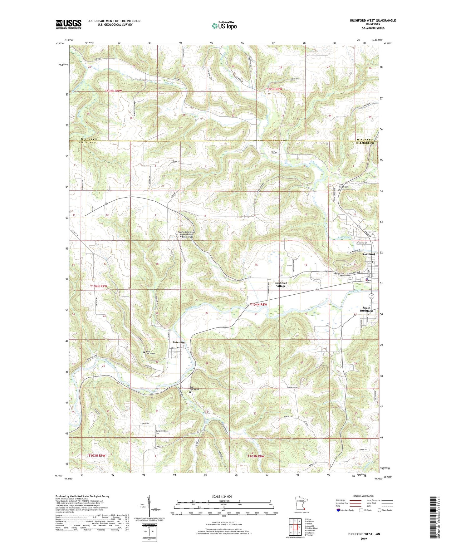
2022 topographic map quadrangle Rushford West in the state of Minnesota. Scale: 1:24000. Based on the newly updated USGS 7.5' US Topo map series, this map is in the following counties: Fillmore, Winona. The map contains contour data, water features, and other items you are used to seeing on USGS maps, but also has updated roads and other features. This is the next generation of topographic maps. Printed on high-quality waterproof paper with UV fade-resistant inks.
Quads adjacent to this one:
West: Arendahl
Northwest: Utica
North: Lewiston
Northeast: Wilson
East: Rushford East
Southeast: Yucatan
South: Bratsberg
Southwest: Lanesboro
This map covers the same area as the classic USGS quad with code o43091g7.
Contains the following named places: Big Springs Creek, Bluffview Park Mobile Home Park, City of Peterson, City of Rushford, City of Rushford Village, Depot Museum, East Grace Cemetery, Emmanuel Episcopal Church, Ferndale Country Club, Good Shepherd Lutheran Church, Grace Lutheran Church, Hemingway Creek, Hungerholdt Cemetery, Johnson Cemetery, Magelssen Bluff Park, Northend Campground, Peterson, Peterson Post Office, Peterson RV Campsite, Peterson Wayside Park, Pine Creek, Robert Highum Dam, Root River Community Church, Rushford, Rushford Clinic, Rushford Community Ambulance, Rushford Fire Department, Rushford Lutheran Church, Rushford Municipal Airport-Robert W Bunke Field, Rushford Peterson High School, Rushford Peterson Middle School, Rushford Police Department, Rushford Post Office, Rushford Public Library, Rushford Village, Saint John's Lutheran Church, Saint Joseph Cemetery, Saint Joseph's Catholic Church, Saint Mark's Lutheran Church, South Rushford, West Grace Cemetery, ZIP Codes: 55962, 55971