MyTopo
Cascade Missouri US Topo Map
Couldn't load pickup availability
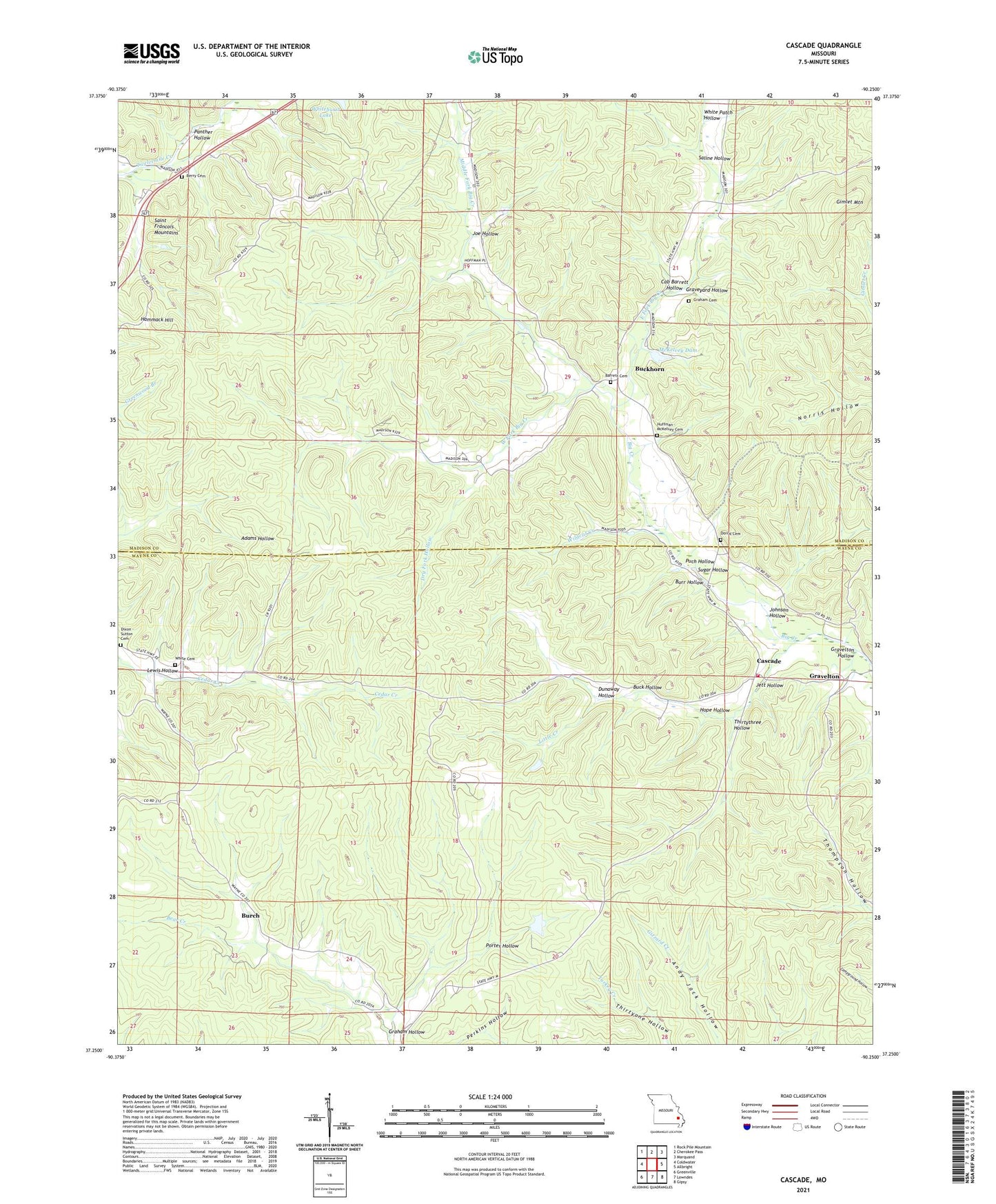
2021 topographic map quadrangle Cascade in the state of Missouri. Scale: 1:24000. Based on the newly updated USGS 7.5' US Topo map series, this map is in the following counties: Madison, Wayne. The map contains contour data, water features, and other items you are used to seeing on USGS maps, but also has updated roads and other features. This is the next generation of topographic maps. Printed on high-quality waterproof paper with UV fade-resistant inks.
Quads adjacent to this one:
West: Coldwater
Northwest: Rock Pile Mountain
North: Cherokee Pass
Northeast: Marquand
East: Allbright
Southeast: Gipsy
South: Lowndes
Southwest: Greenville
This map covers the same area as the classic USGS quad with code o37090c3.
Contains the following named places: Barrett Cemetery, Big Creek Church, Buck Hollow, Buckhorn, Buckhorn Church, Burch, Burr Hollow, Cab Barrett Hollow, Camp Number 31, Cascade, Cascade Lookout Tower, Cascade Volunteer Fire Department, Dixon - Sutton Cemetery, Doll Lake Dam, Dorris Cemetery, Dry Fork Hollow, Dunaway Hollow, East Fork Big Creek, Fairmont School, Gimlet Creek, Gimlet Mountain, Graham Cemetery, Graham Hollow, Graphite, Gravelton, Gravelton Hollow, Graveyard Hollow, Hammack Hill, Hope Hollow, Huffman - McKelvey Cemetery, Jett Hollow, Joe Hollow, Johnson Hollow, Lewis Hollow, Little Creek, McKelvey Dam, Middle Fork Big Creek, Mount Hope Church, Mount Hope School, Oakdale Church, Panther Hollow, Porter Hollow, Puch Hollow, Saline Hollow, Sugar Hollow, Thirtythree Hollow, Twelvemile, West Fork Big Creek, White Cemetery, White Patch Hollow, Wildcat Creek, Williams Lake Section 20, Williams Lake Section 20 Dam, Zion Church


