MyTopo
Sampsel Missouri US Topo Map
Couldn't load pickup availability
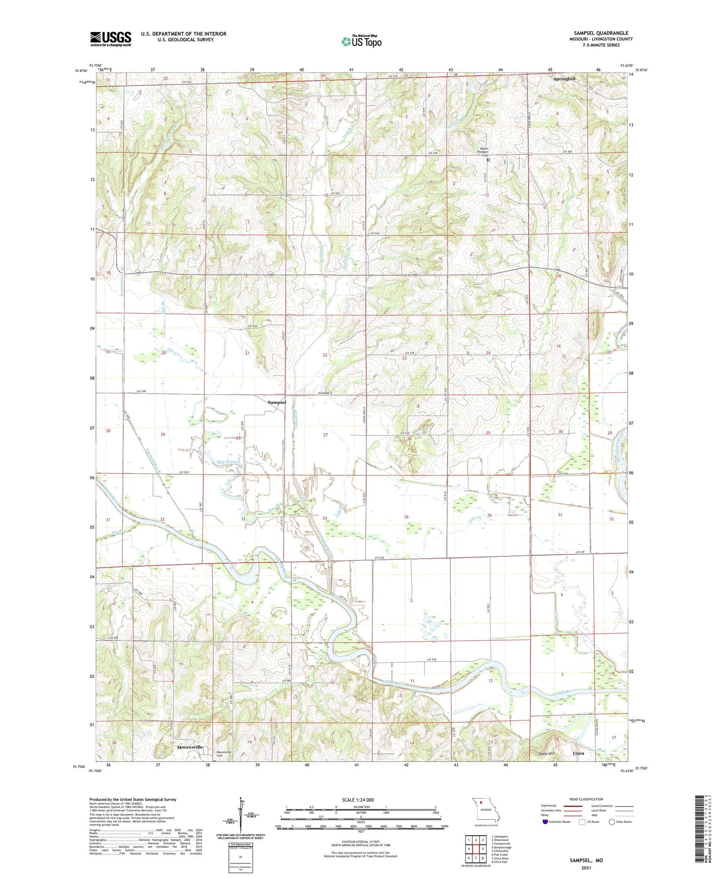
2021 topographic map quadrangle Sampsel in the state of Missouri. Scale: 1:24000. Based on the newly updated USGS 7.5' US Topo map series, this map is in the following counties: Livingston. The map contains contour data, water features, and other items you are used to seeing on USGS maps, but also has updated roads and other features. This is the next generation of topographic maps. Printed on high-quality waterproof paper with UV fade-resistant inks.
Quads adjacent to this one:
West: Breckenridge
Northwest: Jamesport
North: Shearwood
Northeast: Farmersville
East: Chillicothe
Southeast: Utica East
South: Utica West
Southwest: Flat Creek
This map covers the same area as the classic USGS quad with code o39093g6.
Contains the following named places: Bachelor Branch, Boucher School, Brookshire School, Brown School, Clay Hill School, Gibbs School, Hog Branch, Indian Branch, Kirk School, McVey Lake Dam, Moody School, Mount Pleasant Baptist Church, Mount Pleasant Cemetery, Oak Ridge School, Penitentiary Branch, Rawlie School, Sampsel, Shale Hill, Sneed School, Springhill, Straight Lake East Dam, Straight Lake West Dam, Township of Sampsel