MyTopo
Sarcoxie Missouri US Topo Map
Couldn't load pickup availability
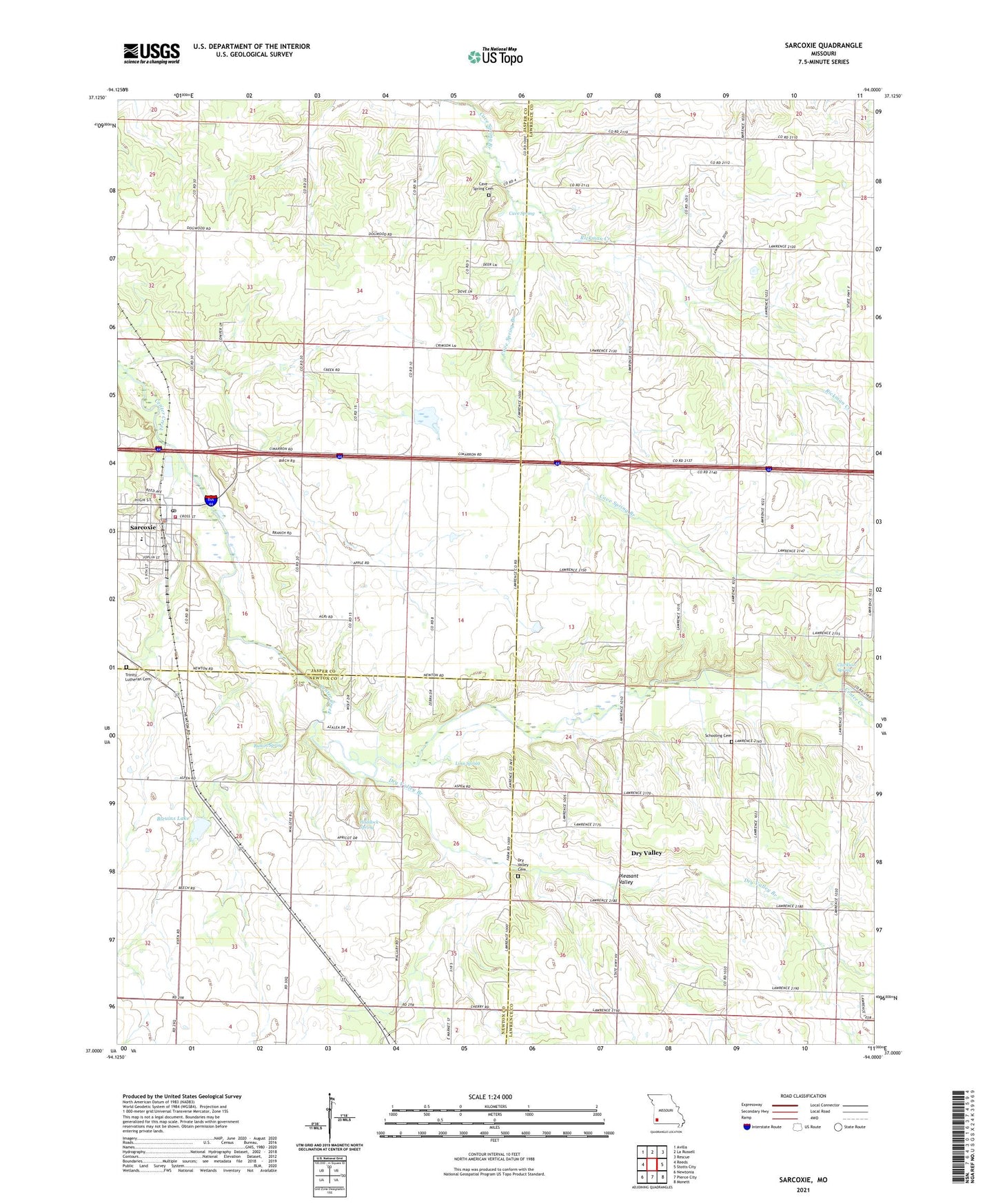
2021 topographic map quadrangle Sarcoxie in the state of Missouri. Scale: 1:24000. Based on the newly updated USGS 7.5' US Topo map series, this map is in the following counties: Lawrence, Jasper, Newton. The map contains contour data, water features, and other items you are used to seeing on USGS maps, but also has updated roads and other features. This is the next generation of topographic maps. Printed on high-quality waterproof paper with UV fade-resistant inks.
Quads adjacent to this one:
West: Reeds
Northwest: Avilla
North: La Russell
Northeast: Rescue
East: Stotts City
Southeast: Monett
South: Pierce City
Southwest: Newtonia
This map covers the same area as the classic USGS quad with code o37094a1.
Contains the following named places: Bethany Church, Bethel Church, Big Spring School, Bleuins Lake, Button Spring, Cave Spring, Cave Spring Cemetery, Cave Springs School, Clarkson, Clarkson School, Clarkson Spring, Downey Church, Downey School, Dry Valley, Dry Valley Branch, Dry Valley Cemetery, Dry Valley Church, Dry Valley School, Forest School, Haddock Spring, Independence Church, Independence School, Linn Spring, Marblehead, Morningside Church, Pepper Lake Dam, Pleasant Hill School, Pleasant Valley, Pleasant Valley School, Rickman Creek, Round Prairie School, Sarcoxie, Sarcoxie Fire Department, Sarcoxie Police Department, Sarcoxie Post Office, Schooling Cemetery, Spring Valley School, Talmage City, Township of Sarcoxie, Trinity Lutheran Cemetery, Union College School, Wildwood Elementary School, Wilson Union Church, ZIP Codes: 64862, 64873