MyTopo
Beauty Creek Montana US Topo Map
Couldn't load pickup availability
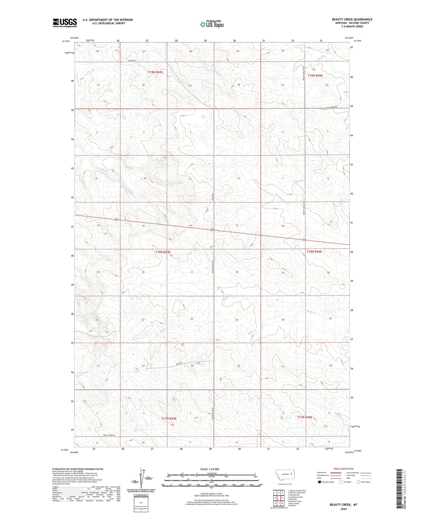
2024 topographic map quadrangle Beauty Creek in the state of Montana. Scale: 1:24000. Based on the newly updated USGS 7.5' US Topo map series, this map is in the following counties: McCone. The map contains contour data, water features, and other items you are used to seeing on USGS maps, but also has updated roads and other features. This is the next generation of topographic maps. Printed on high-quality waterproof paper with UV fade-resistant inks.
Quads adjacent to this one:
West: Cemetery Coulee
Northwest: Johnson Coulee West
North: Johnson Coulee East
Northeast: Brockway NE
East: Brockway
Southeast: Watkins
South: Berry School
Southwest: Hedstrom Lake
This map covers the same area as the classic USGS quad with code o47105c8.
Contains the following named places: 17N45E01DCAA01 Well, 17N45E04BDBB01 Well, 18N45E10CCBB01 Well, 18N45E10CCBB02 Well, 18N45E24CDDC01 Well, 18N45E25BAAC01 Well, 18N45E27DADD01 Well, 18N45E34ACCD01 Well, 18N45E34DBBB01 Well, 18N45E34DBBB02 Well, 18N46E08CBBC01 Well, 18N46E17ADBB01 Well, 18N46E18ADCA01 Well, 18N46E18ADCA02 Well, 18N46E19ABBC01 Well, 18N46E30ADAC01 Well, 19N45E35DBCA01 Well, 19N46E32CCCD01 Well, 19N46E32DCDD01 Well