MyTopo
Hedstrom Lake Montana US Topo Map
Couldn't load pickup availability
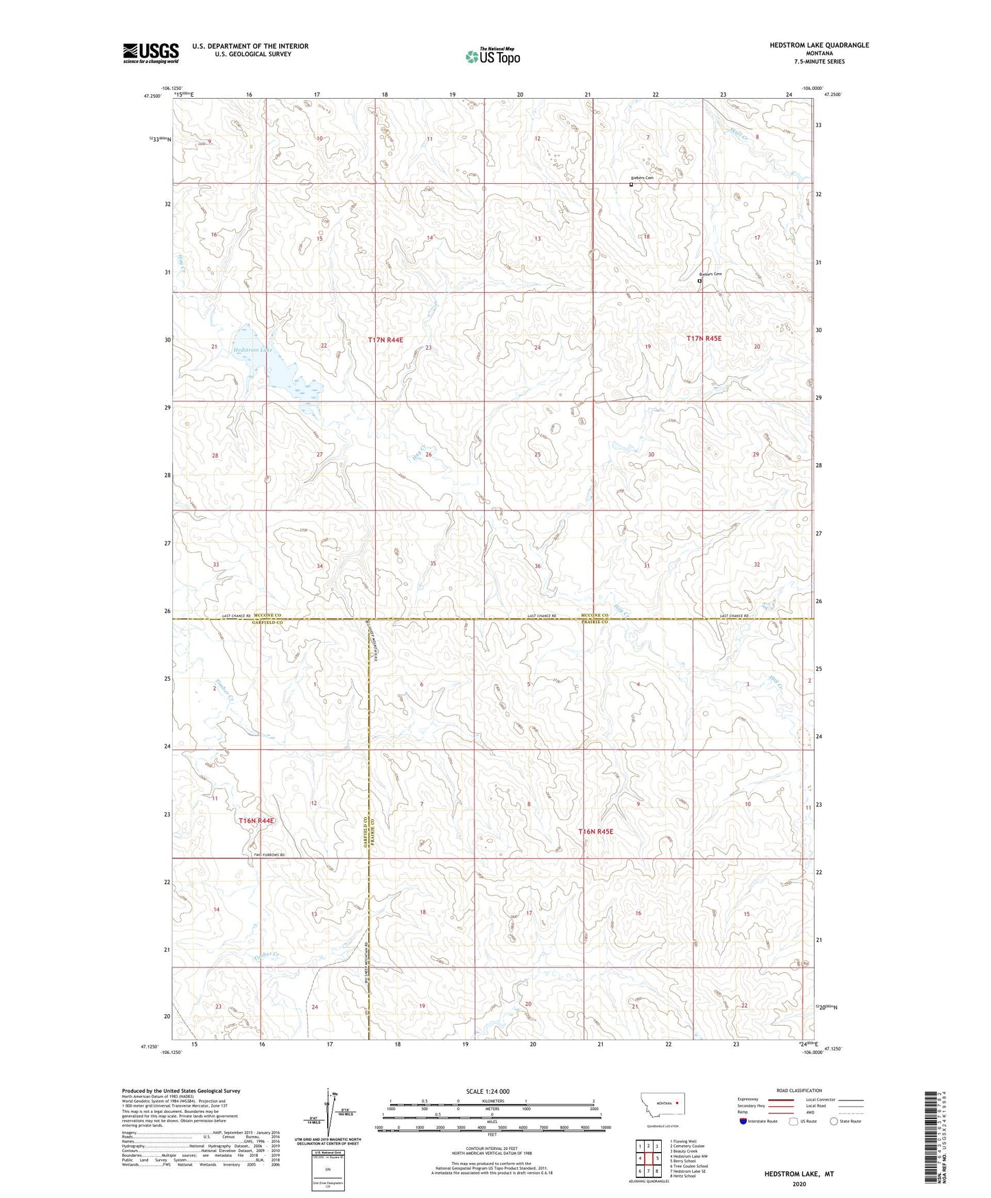
2024 topographic map quadrangle Hedstrom Lake in the state of Montana. Scale: 1:24000. Based on the newly updated USGS 7.5' US Topo map series, this map is in the following counties: McCone, Prairie, Garfield. The map contains contour data, water features, and other items you are used to seeing on USGS maps, but also has updated roads and other features. This is the next generation of topographic maps. Printed on high-quality waterproof paper with UV fade-resistant inks.
Quads adjacent to this one:
West: Hedstrom Lake NW
Northwest: Flowing Well
North: Cemetery Coulee
Northeast: Beauty Creek
East: Berry School
Southeast: Heitz School
South: Hedstrom Lake SE
Southwest: Tree Coulee School
This map covers the same area as the classic USGS quad with code o47106b1.
Contains the following named places: 16N44E02BABA01 Well, 16N44E02BABA02 Well, 16N44E02BABB01 Well, 16N44E11DDCA01 Well, 16N44E14DAAC01 Well, 16N45E03BCAD01 Well, 16N45E03BCDB01 Well, 16N45E05AAAC01 Well, 16N45E05AABC01 Well, 16N45E06BABD01 Well, 16N45E18BACA01 Well, 17N44E13CCBD01 Well, 17N44E16DABC01 Well, 17N44E23ADBB01 Well, 17N44E24AAAA01 Well, 17N44E24DAAA01 Well, 17N44E27ABBC01 Well, 17N44E34DDBA01 Well, 17N44E35AABA01 Well, 17N44E36ACDD01 Well, 17N45E20CCC_01 Well, Biebers Cemetery, Crowley Post Office, Hedstorm Reservoir Dam, Hedstrom Lake, Hedstrom Post Office, Hedstrom School, Lutheran Church, Naasz School, Schlenker Dam, Seventh Day Adventist Church