MyTopo
Bowmans Corners NE Montana US Topo Map
Couldn't load pickup availability
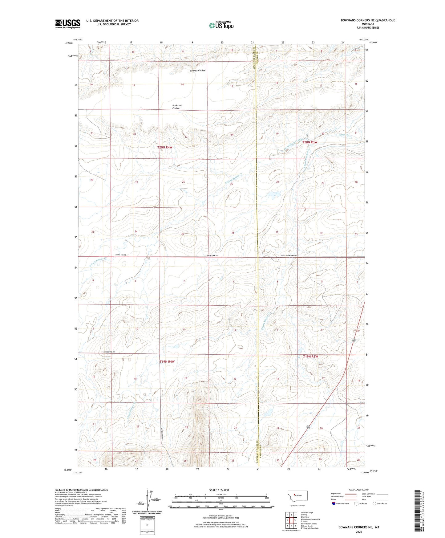
2024 topographic map quadrangle Bowmans Corners NE in the state of Montana. Scale: 1:24000. Based on the newly updated USGS 7.5' US Topo map series, this map is in the following counties: Lewis and Clark, Cascade. The map contains contour data, water features, and other items you are used to seeing on USGS maps, but also has updated roads and other features. This is the next generation of topographic maps. Printed on high-quality waterproof paper with UV fade-resistant inks.
Quads adjacent to this one:
West: Bowmans Corners NW
Northwest: Golden Ridge
North: Lowry
Northeast: Fairfield
East: Simms
Southeast: Telegraph Mountain
South: Henry Creek
Southwest: Bowmans Corners
This map covers the same area as the classic USGS quad with code o47112d1.
Contains the following named places: 20N03W21B___01 Well, Blooming Creek Dam, Crown Butte School, Flicked BIC Dam, North Fork Simms Creek, Olson Place, South Fork Simms Creek