MyTopo
Bridger Montana US Topo Map
Couldn't load pickup availability
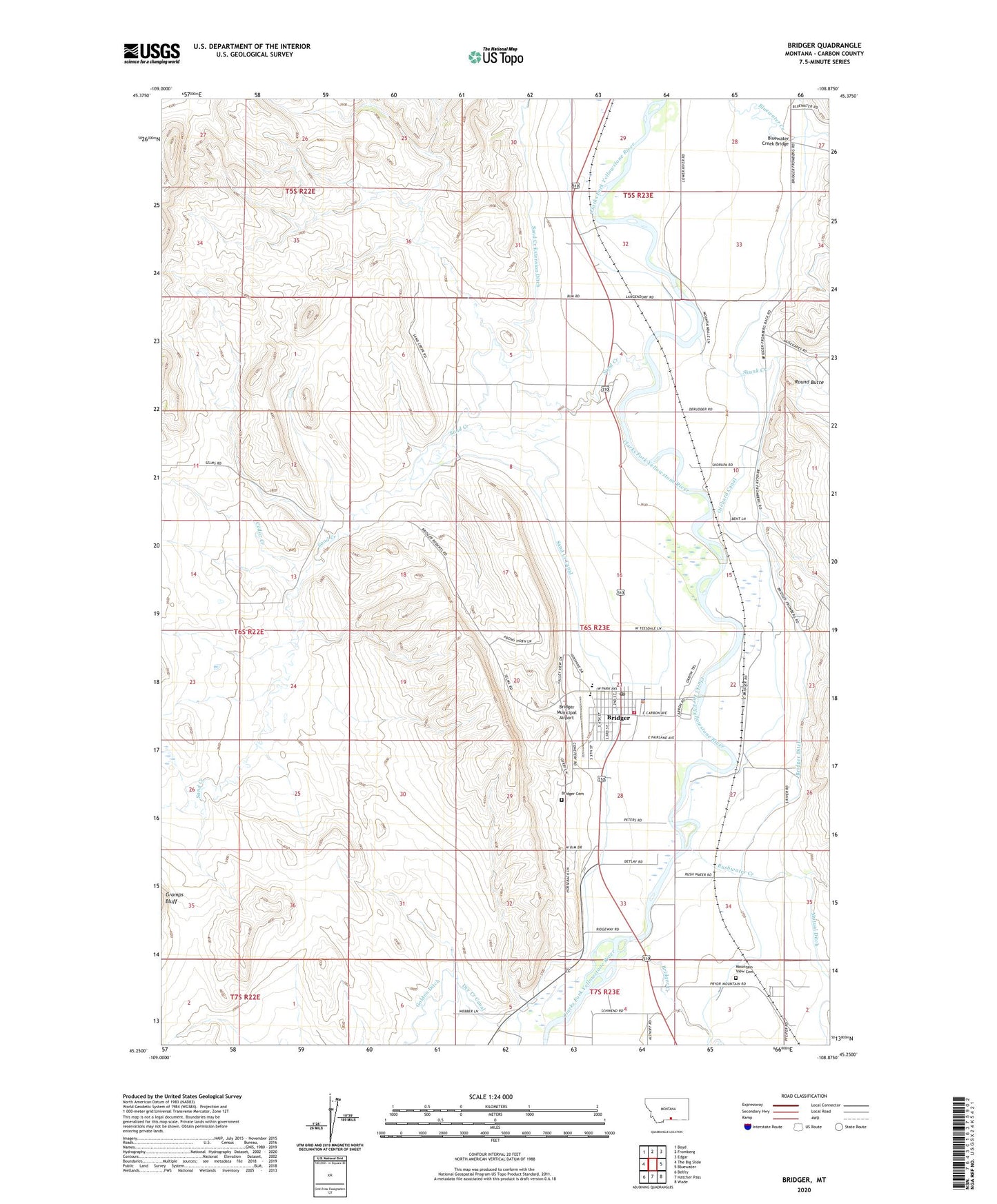
2024 topographic map quadrangle Bridger in the state of Montana. Scale: 1:24000. Based on the newly updated USGS 7.5' US Topo map series, this map is in the following counties: Carbon. The map contains contour data, water features, and other items you are used to seeing on USGS maps, but also has updated roads and other features. This is the next generation of topographic maps. Printed on high-quality waterproof paper with UV fade-resistant inks.
Quads adjacent to this one:
West: The Big Slide
Northwest: Boyd
North: Fromberg
Northeast: Edgar
East: Bluewater
Southeast: Wade
South: Hatcher Pass
Southwest: Belfry
This map covers the same area as the classic USGS quad with code o45108c8.
Contains the following named places: 05S23E28ADAD01 Well, 05S23E31ACAD01 Well, 05S23E32DABC01 Well, 05S23E32DABC02 Well, 05S23E33BBBB01 Well, 06S22E01CDBD01 Well, 06S22E13BDAB01 Well, 06S23E03BACA01 Well, 06S23E04CADC01 Well, 06S23E08DBBD01 Well, 06S23E08DBBD02 Well, 06S23E08DBCA01 Well, 06S23E08DBDB01 Well, 06S23E09ABAB01 Well, 06S23E09CDAD01 Well, 06S23E09CDCC01 Well, 06S23E09CDCD01 Well, 06S23E09CDDA01 Well, 06S23E09CDDC01 Well, 06S23E16DDDC01 Well, 06S23E20CADA01 Well, 06S23E20DBDC01 Well, 06S23E21DBCD01 Well, 06S23E22AAAB01 Well, 06S23E27DBBA01 Well, 06S23E33ADCA01 Well, 06S23E33DBBB01 Well, 06S23E34DAAC01 Well, 06S23E34DABD01 Well, 06S23E35BBCC01 Well, 07S23E03BDCA01 Well, 07S23E05ACCC01 Well, 07S23E05CBBA01 Well, 07S23E05DDAA01 Well, Bluewater Creek Bridge, Bostic School, Bridger, Bridger Baptist Church, Bridger Cemetery, Bridger City Park, Bridger Creek, Bridger Ditch, Bridger Elementary School, Bridger Municipal Airport, Bridger Police Department, Bridger Post Office, Bridger Public Library, Bridger Rest Area, Bridger Town Hall, Bridger United Methodist Church, Bridger Volunteer Fire Department - Clarks Fork Fire District 2, Carbon County Waterfowl Production Area, Cedar Creek, Charles Miller Ditch, Cherry Springs, Cherry Springs School, Church of the Good Shepherd, City Park Campground, Clarks Fork Medical Center, Clarks Fork Valley Ambulance, East Bridger, Gupton, Jim Bridger Mountain Man Historical Marker, Jim Bridger Park, Kienitz Ranch, Langstaff Number 1 Dam, Langstaff Ranch, Memorial Park, Mountain View Cemetery, Orchard Canal, Phillips Ranch, Pryor Mountains Historical Marker, Round Butte, Round Butte School, Rushwater Creek, Sacred Heart Catholic Church, Saint Pauls Lutheran Church, Sand Creek, Sand Creek Canal, Sand Creek Extension Ditch, Sand Creek School, Seventh Day Adventist Church, Simpson Ranch, Skunk Creek, Town of Bridger, Walrath Grain Elevator