MyTopo
The Big Slide Montana US Topo Map
Couldn't load pickup availability
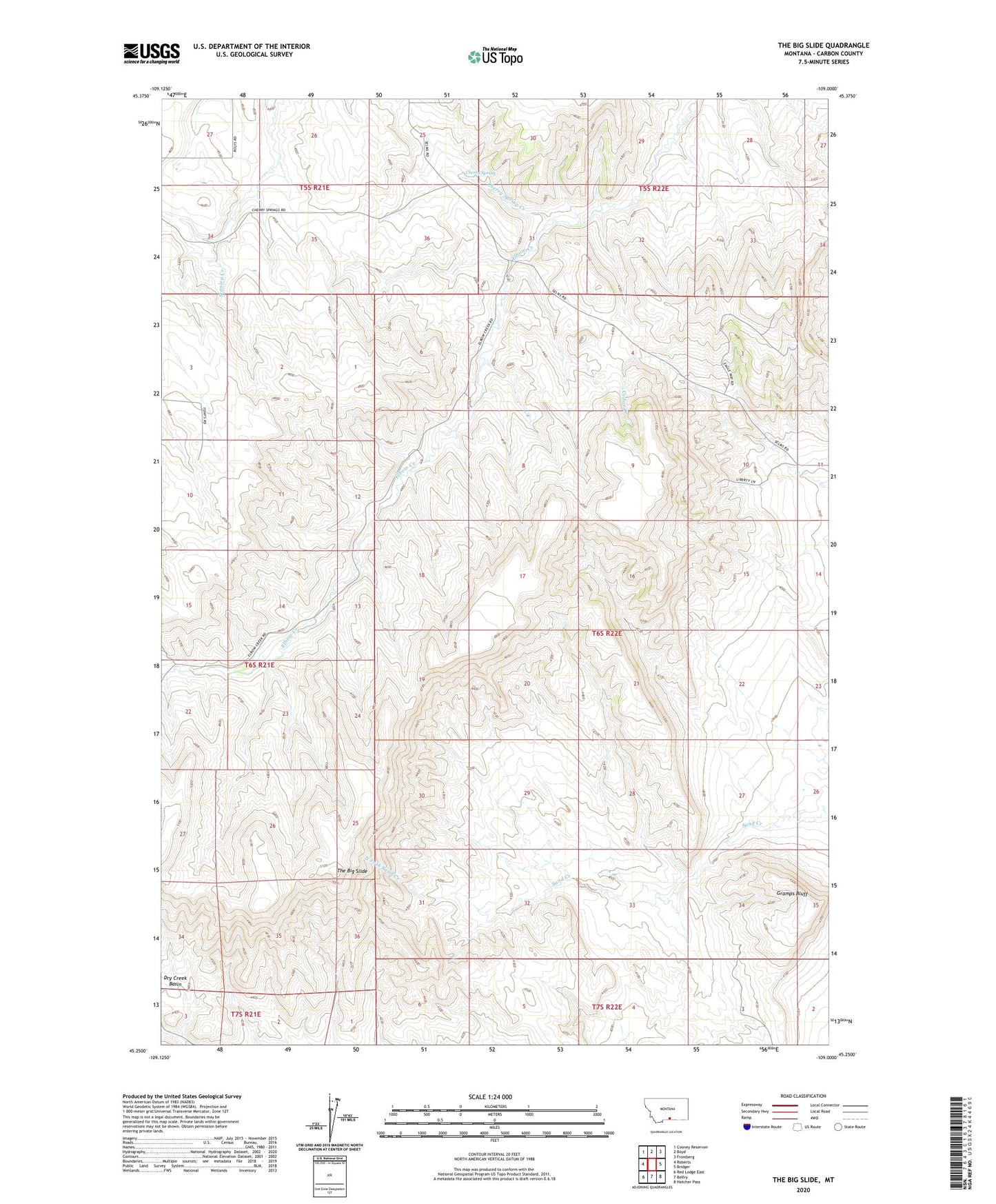
2024 topographic map quadrangle The Big Slide in the state of Montana. Scale: 1:24000. Based on the newly updated USGS 7.5' US Topo map series, this map is in the following counties: Carbon. The map contains contour data, water features, and other items you are used to seeing on USGS maps, but also has updated roads and other features. This is the next generation of topographic maps. Printed on high-quality waterproof paper with UV fade-resistant inks.
Quads adjacent to this one:
West: Roberts
Northwest: Cooney Reservoir
North: Boyd
Northeast: Fromberg
East: Bridger
Southeast: Hatcher Pass
South: Belfry
Southwest: Red Lodge East
This map covers the same area as the classic USGS quad with code o45109c1.
Contains the following named places: Cherry Spring, Cherry Spring Creek, Fromberg-Bridger Division, Gramps Bluff, Loyning School, North Fork Sand Creek, The Big Slide