MyTopo
Dunkleberg Creek Montana US Topo Map
Couldn't load pickup availability
Also explore the Dunkleberg Creek Forest Service Topo of this same quad for updated USFS data
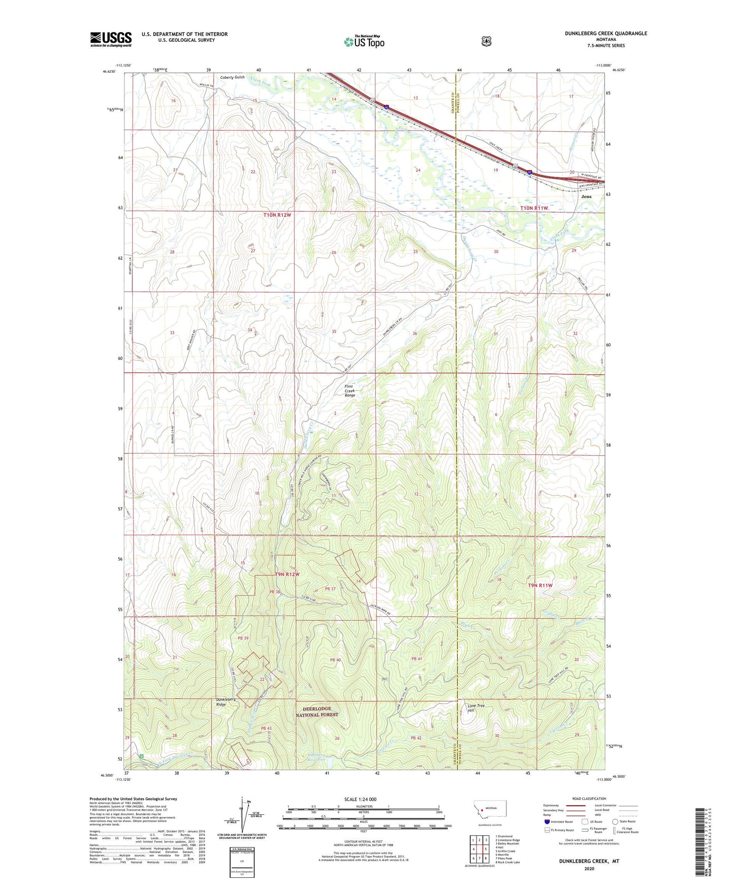
2024 topographic map quadrangle Dunkleberg Creek in the state of Montana. Scale: 1:24000. Based on the newly updated USGS 7.5' US Topo map series, this map is in the following counties: Granite, Powell. The map contains contour data, water features, and other items you are used to seeing on USGS maps, but also has updated roads and other features. This is the next generation of topographic maps. Printed on high-quality waterproof paper with UV fade-resistant inks.
Quads adjacent to this one:
West: Hall
Northwest: Drummond
North: Limestone Ridge
Northeast: Bailey Mountain
East: Griffin Creek
Southeast: Rock Creek Lake
South: Pikes Peak
Southwest: Maxville
This map covers the same area as the classic USGS quad with code o46113e1.
Contains the following named places: 09N12W04BABB01 Well, 10N11W19ACAC01 Well, 10N11W19BBBA01 Well, 10N11W20CACA01 Well, 10N11W20CADA01 Well, Bert Creek, Coberly Gulch, Douglas Creek Cabin, Dunkleberg Creek, Dunkleberg Post Office, Dunkleberg Ridge, Forest Rose Mine, Goldberg East Dam, Goldberg Reservoir, Goldberg West Dam, Haskell, Hoover Creek, Jackson Park, Jackson Park Mine, Jens, Jens Post Office, Jens School, Lone Tree Hill, Perkins Creek, Randalls, SE Section 14 Mine, SE Section 15 Mine, SW Section 14 Mine