MyTopo
Pikes Peak Montana US Topo Map
Couldn't load pickup availability
Also explore the Pikes Peak Forest Service Topo of this same quad for updated USFS data
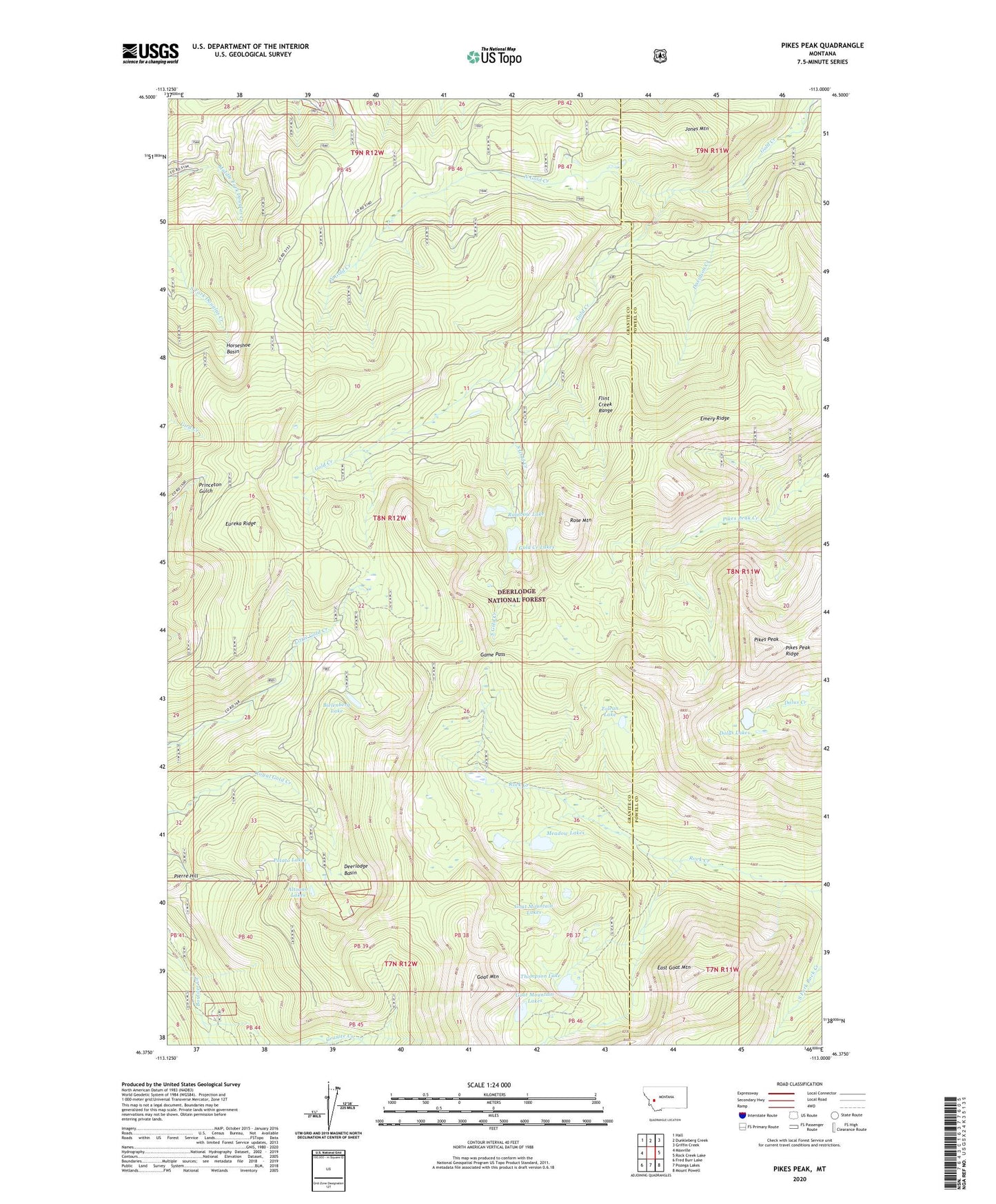
2024 topographic map quadrangle Pikes Peak in the state of Montana. Scale: 1:24000. Based on the newly updated USGS 7.5' US Topo map series, this map is in the following counties: Granite, Powell. The map contains contour data, water features, and other items you are used to seeing on USGS maps, but also has updated roads and other features. This is the next generation of topographic maps. Printed on high-quality waterproof paper with UV fade-resistant inks.
Quads adjacent to this one:
West: Maxville
Northwest: Hall
North: Dunkleberg Creek
Northeast: Griffin Creek
East: Rock Creek Lake
Southeast: Mount Powell
South: Pozega Lakes
Southwest: Fred Burr Lake
This map covers the same area as the classic USGS quad with code o46113d1.
Contains the following named places: Altoona Lakes, Altoona Lakes Mine, Bielenberg Lake, Bluebird Mine, Brooklyn Mine, Davidson Creek, Deerlodge Basin, East Goat Mountain, Emery Ridge, Eureka Ridge, Eureka Ridge Mine, Game Pass, Goat Mountain, Goat Mountain Lakes, Gold Creek Lakes, Gold Creek Mine, Gold Creek Placer Mine, Gold Lake Dam, Granite Creek, Horseshoe Basin, Ivanhoe Mine, Jones Mountain, Master Mine, Master Mining Camp, Meadow Lakes, Middle Fork Mine, NE Section 15 Mine, NE Section 23 Mine, North Gold Creek, NW Section 14 Mine, Pikes Peak, Pikes Peak Ridge, Pineau Mine, Port Royal Mine, Rainbow Lake, Rose Mountain, Royal, Royal Post Office, Ryan Mine, SE Section 33 Mine, South Gold Creek, Thompson Lake, Thursday Friday Mine, Tibbets Mine, Tolean Lake, Wasa Mine