MyTopo
Hedstrom Lake SE Montana US Topo Map
Couldn't load pickup availability
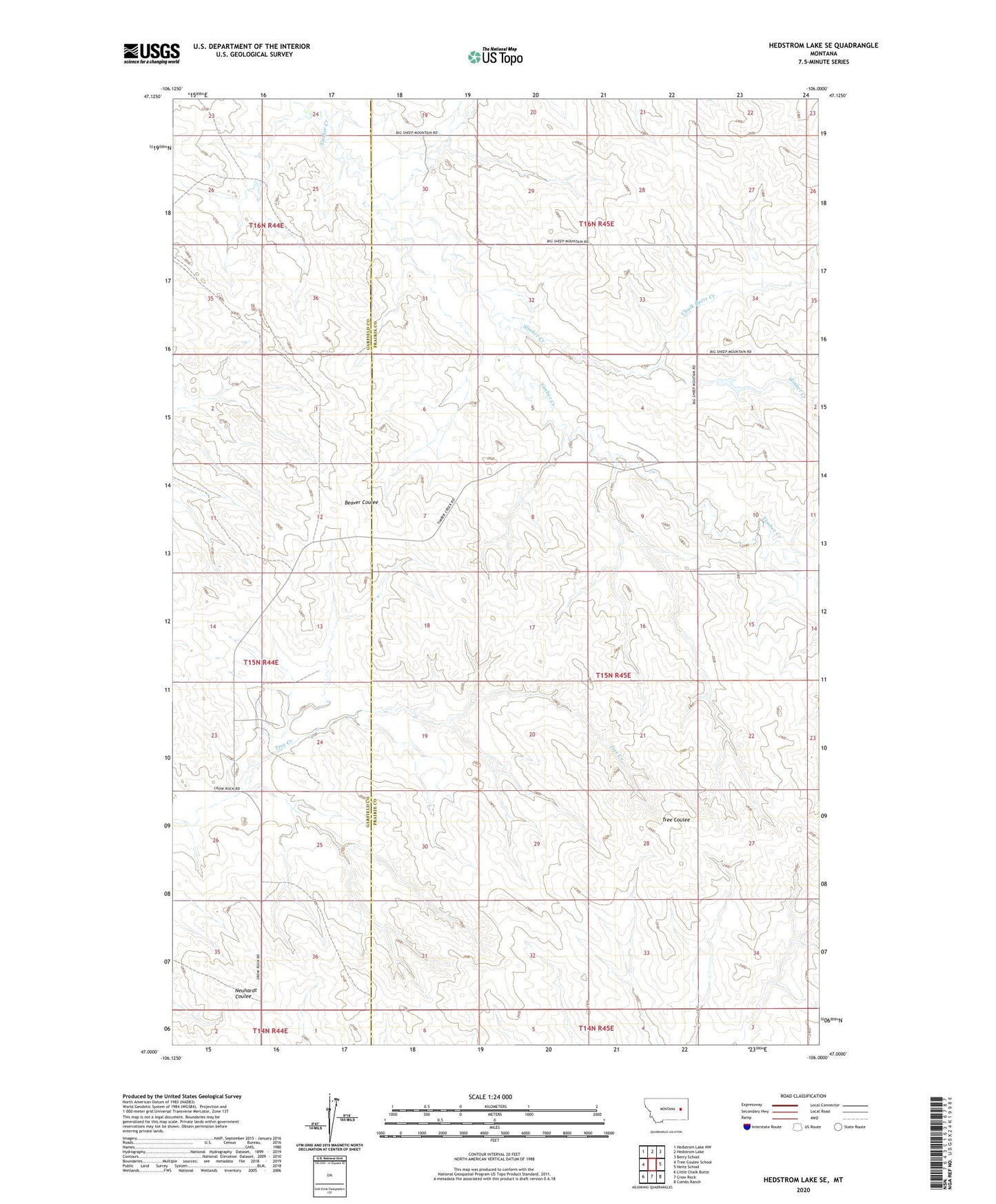
2024 topographic map quadrangle Hedstrom Lake SE in the state of Montana. Scale: 1:24000. Based on the newly updated USGS 7.5' US Topo map series, this map is in the following counties: Prairie, Garfield. The map contains contour data, water features, and other items you are used to seeing on USGS maps, but also has updated roads and other features. This is the next generation of topographic maps. Printed on high-quality waterproof paper with UV fade-resistant inks.
Quads adjacent to this one:
West: Tree Coulee School
Northwest: Hedstrom Lake NW
North: Hedstrom Lake
Northeast: Berry School
East: Heitz School
Southeast: Combs Ranch
South: Crow Rock
Southwest: Little Chalk Butte
This map covers the same area as the classic USGS quad with code o47106a1.
Contains the following named places: 15N44E11DDBD01 Well, 15N44E24BCBC01 Well, 15N44E25CCAD01 Well, 15N45E04CBCC01 Well, 15N45E06AAAC01 Well, 15N45E09CDBA01 Well, 15N45E29AABC01 Well, 15N45E33CBAD01 Well, 16N44E25ABBD01 Well, 16N44E25BBAA01 Well, 16N44E25BBAB01 Well, 16N44E25BBAC01 Well, 16N45E29CDDB01 Well, Chalk Butte Creek, Elhard School, Graber Post Office, Graeber School, Slinker Creek, Swift Dam