MyTopo
Nirling Hill Montana US Topo Map
Couldn't load pickup availability
Also explore the Nirling Hill Forest Service Topo of this same quad for updated USFS data
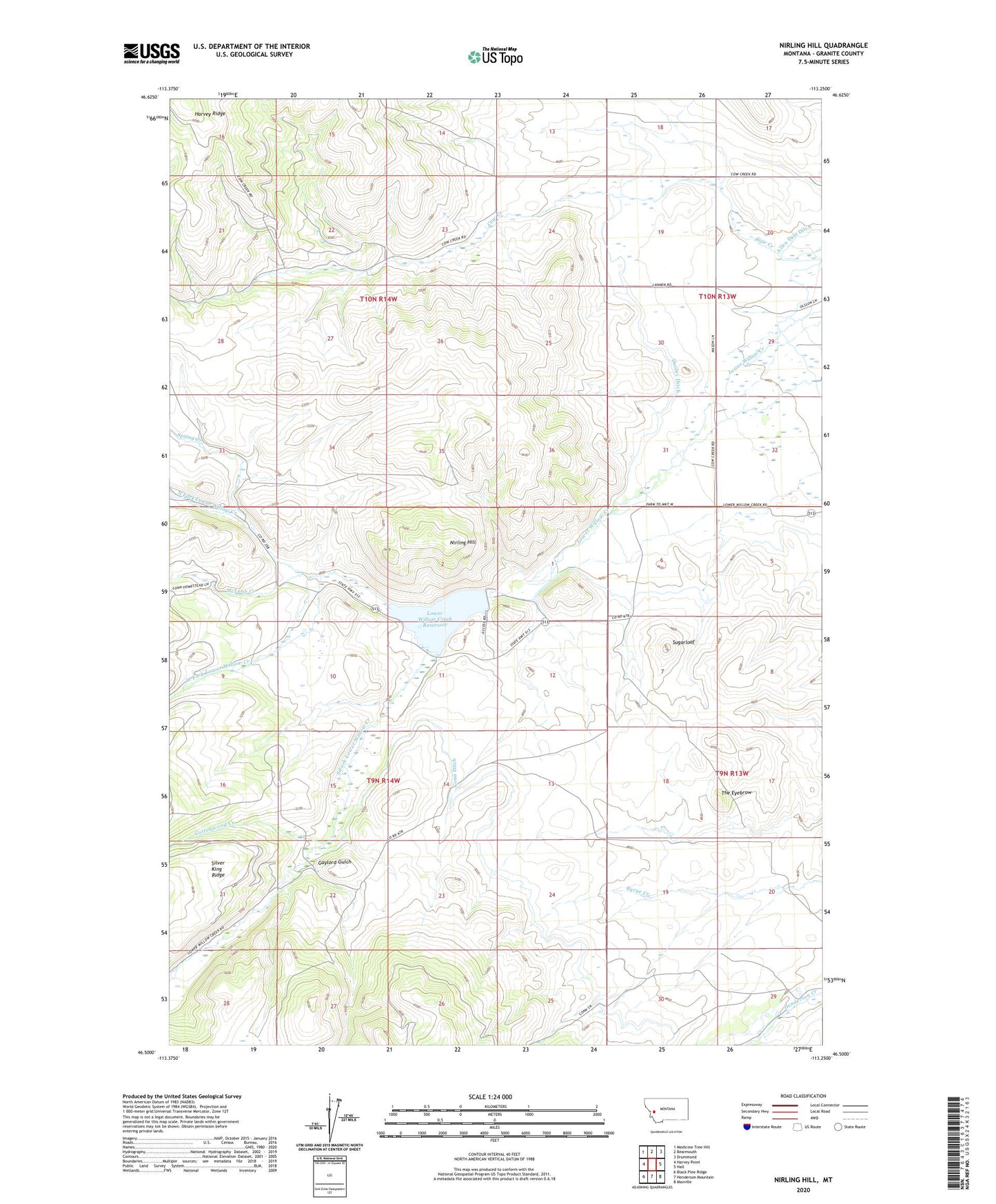
2024 topographic map quadrangle Nirling Hill in the state of Montana. Scale: 1:24000. Based on the newly updated USGS 7.5' US Topo map series, this map is in the following counties: Granite. The map contains contour data, water features, and other items you are used to seeing on USGS maps, but also has updated roads and other features. This is the next generation of topographic maps. Printed on high-quality waterproof paper with UV fade-resistant inks.
Quads adjacent to this one:
West: Harvey Point
Northwest: Medicine Tree Hill
North: Bearmouth
Northeast: Drummond
East: Hall
Southeast: Maxville
South: Henderson Mountain
Southwest: Black Pine Ridge
This map covers the same area as the classic USGS quad with code o46113e3.
Contains the following named places: 10N13W29ABDD01 Well, 59837, Allen Dale Ditch, Conn Ditch, Conn Ranch, Cottonwood Creek, Dooley Ditch, Gaylord Gulch, Lower Willow Creek Dam, Lower Willow Creek Reservoir, McLean Creek, Nirling Hill, North Fork Lower Willow Creek, Red Cloud Mine, South Fork Lower Willow Creek, Spring Creek, Sugarloaf, The Eyebrow, West Fork Lower Willow Creek