MyTopo
School Section Creek Montana US Topo Map
Couldn't load pickup availability
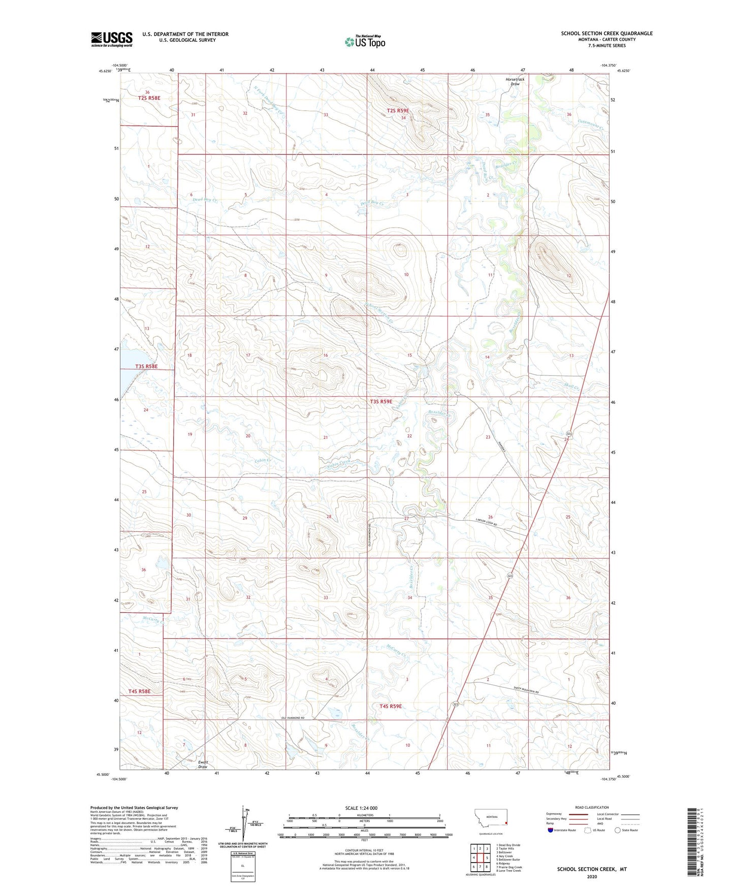
2024 topographic map quadrangle School Section Creek in the state of Montana. Scale: 1:24000. Based on the newly updated USGS 7.5' US Topo map series, this map is in the following counties: Carter. The map contains contour data, water features, and other items you are used to seeing on USGS maps, but also has updated roads and other features. This is the next generation of topographic maps. Printed on high-quality waterproof paper with UV fade-resistant inks.
Quads adjacent to this one:
West: Ikey Creek
Northwest: Dead Boy Divide
North: Taylor Hills
Northeast: Belltower
East: Belltower Butte
Southeast: Lone Tree Creek
South: Prairie Dog Creek
Southwest: Ridgway
This map covers the same area as the classic USGS quad with code o45104e4.
Contains the following named places: 04S51E03DDAC01 Well, 04S59E09AACD01 Well, Cabin Creek, Catamount Creek, Dead Boy Creek, Gussie Number 2 Dam, Gussie Number 3 Dam, Johnston School, McCarty Creek, North Fork Dead Boy Creek, Ridgeway Hall, School Section Creek, Skull Creek