MyTopo
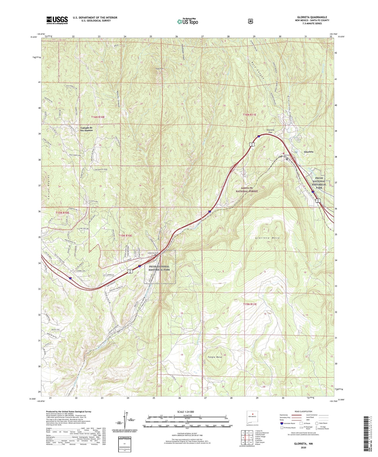
Glorieta New Mexico US Topo Map
Couldn't load pickup availability
Also explore the Glorieta Forest Service Topo of this same quad for updated USFS data
2023 topographic map quadrangle Glorieta in the state of New Mexico. Scale: 1:24000. Based on the newly updated USGS 7.5' US Topo map series, this map is in the following counties: Santa Fe. The map contains contour data, water features, and other items you are used to seeing on USGS maps, but also has updated roads and other features. This is the next generation of topographic maps. Printed on high-quality waterproof paper with UV fade-resistant inks.
Quads adjacent to this one:
West: Seton Village
Northwest: Santa Fe
North: McClure Reservoir
Northeast: Rosilla Peak
East: Pecos
Southeast: Rowe
South: Bull Canyon
Southwest: Galisteo
This map covers the same area as the classic USGS quad with code o35105e7.
Contains the following named places: Apache Canyon, Bible Baptist Church, Canada de los Alamos, Canada de los Alamos Census Designated Place, Canoncito, Canoncito at Apache Canyon, Canoncito Cemetery, Canoncito Census Designated Place, Canoncito Post Office, Canoncito Siding, DAR Monument, Deer Creek, Deer Trail, El Rancho de San Sebastian, Fangio Mesa, Garcia Ranch, Glorieta, Glorieta Baptist Church, Glorieta Baptist Conference Center, Glorieta Battlefield National Historic Landmark, Glorieta Canyon, Glorieta Cemetery, Glorieta Census Designated Place, Glorieta Convention Center, Glorieta Mesa, Glorieta Pass, Glorieta Pass Battlefield Historic Site, Glorieta Pass Historical Marker, Glorieta Pass Ranch, Glorieta Post Office, Glorieta Weather Station, Gonzales Ranch, Grasshopper Canyon, Hagen Creek, Johnsons Ranch, Kunklin, Loyd Ranch, Lynch Ranch, Nuestra Senora de la Luz Church, Oldest Well, Ortiga Ranch, Our Lady of Light Church Historic Site, Padre Spring Ranch, Padre Water Well, Paytiano, Pecos National Historic Park, Pigeons Ranch, Romero Ranch, Ruiz Canyon, Santa Fe County Volunteer Fire Glorietta Pass District, Santa Fe National Historic Trail, Santa Fe Trail Historical Marker, Shaggy Peak, Valencia Census Designated Place


