MyTopo
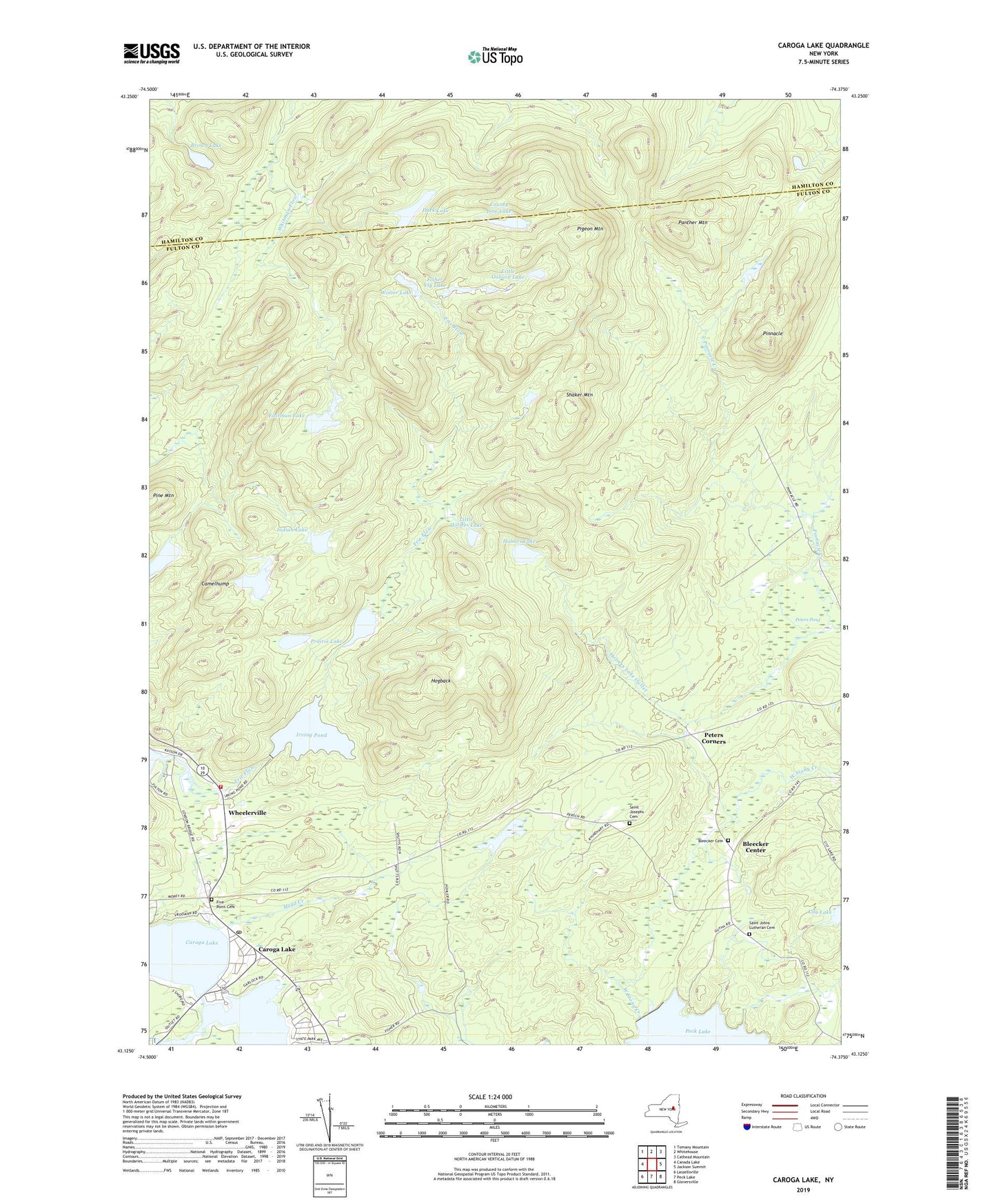
Caroga Lake New York US Topo Map
Couldn't load pickup availability
2023 topographic map quadrangle Caroga Lake in the state of New York. Scale: 1:24000. Based on the newly updated USGS 7.5' US Topo map series, this map is in the following counties: Fulton, Hamilton. The map contains contour data, water features, and other items you are used to seeing on USGS maps, but also has updated roads and other features. This is the next generation of topographic maps. Printed on high-quality waterproof paper with UV fade-resistant inks.
Quads adjacent to this one:
West: Canada Lake
Northwest: Tomany Mountain
North: Whitehouse
Northeast: Cathead Mountain
East: Jackson Summit
Southeast: Gloversville
South: Peck Lake
Southwest: Lassellsville
This map covers the same area as the classic USGS quad with code o43074b4.
Contains the following named places: Bellows Lake, Bleecker Cemetery, Bleecker Center, Brown Lake, Camelhump, Caroga Lake, Caroga Lake Census Designated Place, Caroga Lake Post Office, Caroga Lake Volunteer Fire Department, County Line Lake, Duck Lake, East Caroga Lake, Eastman Lake, Fisher Vly Lake, Five Point Cemetery, Frie Flow, Hogback, Holmes Lake, Indian Lake, Irving Pond, Little Holmes Lake, Little Oxbarn Lake, Mead Creek, Mohawk Pathway Camp, Nick Stoner Golf Course, Otter Lake, Panther Mountain, Peters Corners, Peters Pond, Pigeon Mountain, Pinnacle, Pinnacle Creek, Prairie Lake, Saint Barbaras Chapel, Saint Johns Lutheran Cemetery, Saint Josephs Cemetery, School Number 4, Shaker Mountain, Stewart Lake, Town of Bleecker, Union School, West Caroga Lake, Wheelerville, Winter Lake


