MyTopo
Jerseyfield Lake New York US Topo Map
Couldn't load pickup availability
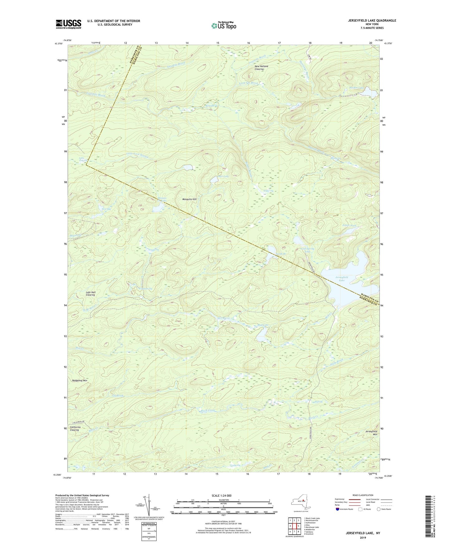
2023 topographic map quadrangle Jerseyfield Lake in the state of New York. Scale: 1:24000. Based on the newly updated USGS 7.5' US Topo map series, this map is in the following counties: Herkimer, Hamilton. The map contains contour data, water features, and other items you are used to seeing on USGS maps, but also has updated roads and other features. This is the next generation of topographic maps. Printed on high-quality waterproof paper with UV fade-resistant inks.
Quads adjacent to this one:
West: Ohio
Northwest: Black Creek Lake
North: Morehouseville
Northeast: Hoffmeister
East: Morehouse Lake
Southeast: Stratford
South: Salisbury
Southwest: Middleville
Contains the following named places: Bochen Lake, California Clearing, Cold Spring Lake, Comstock Vly, Cranberry Lake, Crosby Vly, Deer Lake, Hall Vly, Hurrell Brook, Hurrell Vly, Hurricane Brook, Jerseyfield Lake, Lafe Hall Clearing, Little York Vly, Long Vly Brook, Mosquito Hill, Mounts Creek Lake, Mud Lake, New Holland Clearing, North Branch Lake, Potter Pond, Richards Vly, Sissons Vly, Stony Brook, Twin Vlys, Twomile Brook, Wilder Brook, Wilder Vly