MyTopo
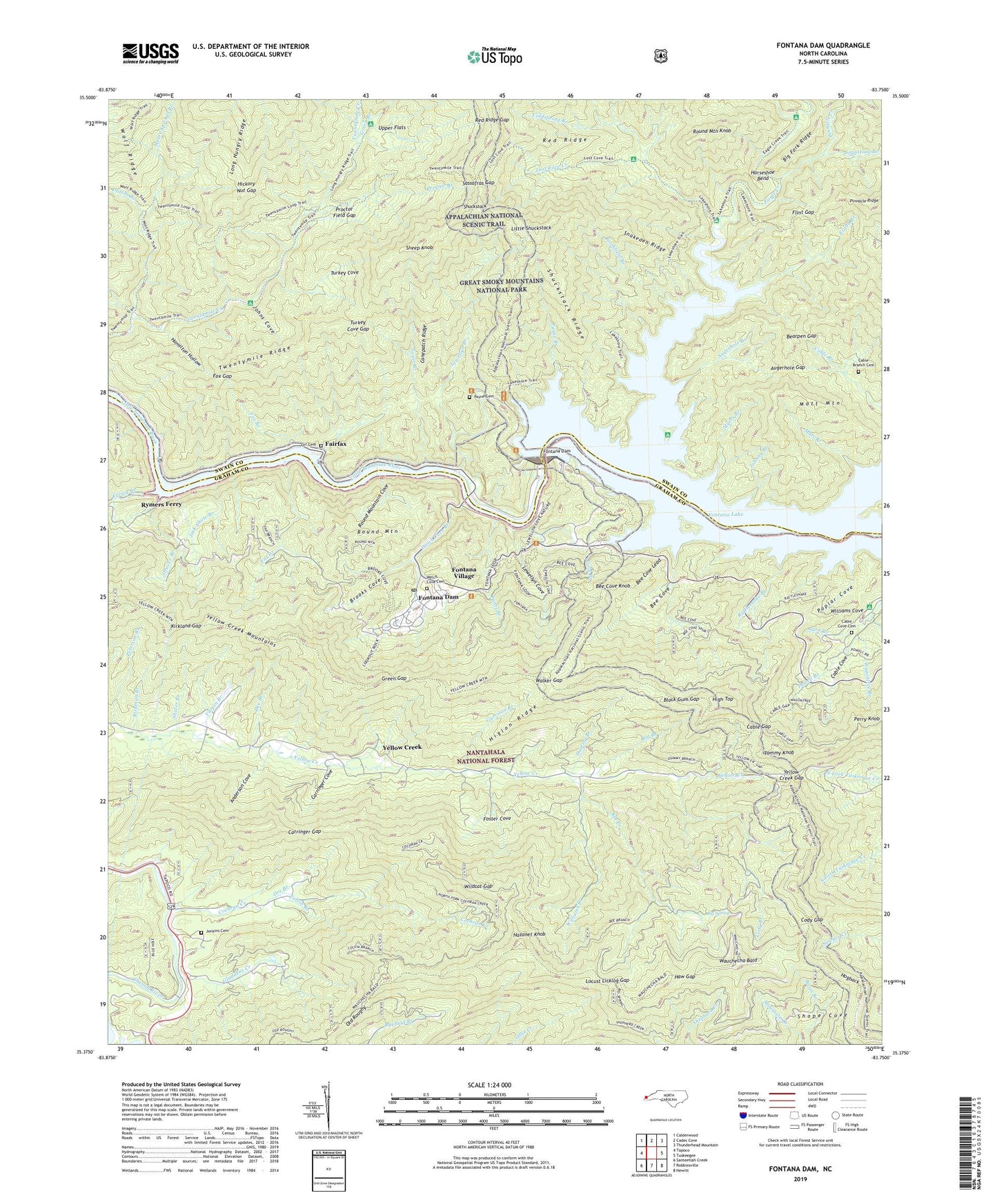
Fontana Dam North Carolina US Topo Map
Couldn't load pickup availability
Also explore the Fontana Dam Forest Service Topo of this same quad for updated USFS data
2022 topographic map quadrangle Fontana Dam in the state of North Carolina. Scale: 1:24000. Based on the newly updated USGS 7.5' US Topo map series, this map is in the following counties: Graham, Swain. The map contains contour data, water features, and other items you are used to seeing on USGS maps, but also has updated roads and other features. This is the next generation of topographic maps. Printed on high-quality waterproof paper with UV fade-resistant inks.
Quads adjacent to this one:
West: Tapoco
Northwest: Calderwood
North: Cades Cove
Northeast: Thunderhead Mountain
East: Tuskeegee
Southeast: Hewitt
South: Robbinsville
Southwest: Santeetlah Creek
This map covers the same area as the classic USGS quad with code o35083d7.
Contains the following named places: Anderson Cove, Augerhole Branch, Augerhole Gap, Barn Branch, Basin Branch, Bearpen Gap, Bee Cove, Bee Cove Knob, Bee Cove Lead, Bee Creek, Big Branch, Big Fork Ridge, Big Spring, Birchfield Branch, Black Gum Gap, Blaze Branch, Brooks Cove, Cable Branch Cemetery, Cable Cove Campground, Cable Cove Cemetery, Cable Gap, Cable Gap Shelter, Canepatch Ridge, Carringer Cove, Carringer Gap, Cheoah Mountains, Cochran Creek, Cody Branch, Cody Gap, Coldspring Branch, Colvin Branch, Dalton Branch, Deaver Branch, Dee Branch, Dummy Branch, Eagle Creek, Ecoah Branch, Ekaneetlee Creek, Fairfax, Farley Branch, Fax Creek, Flint Gap, Fontana Copper Mine, Fontana Dam, Fontana Dam Post Office, Fontana Dock, Fontana Village, Foster Cove, Fox Branch, Fox Gap, Garrison Branch, Gladdens Creek, Gold Branch, Green Branch, Green Gap, Hamilton Hollow, Haw Gap, Hazanet Knob, Hazel Creek, Hickory Nut Gap, High Top, Higlon Ridge, Hogback, Horseshoe Bend, Jack Shute Branch, Jenkins Cemetery, Johnny Branch, Johns Cove, Kirkland Gap, Lady of the Lake Chapel, Lewellyn Branch, Lewellyn Cove, Little Shuckstack, Locust Licklog Gap, Lost Cove Creek, Matt Branch, Matt Mountain, Moore Springs Branch, Myers Branch, Old Roughy, Orr Branch, Orr Cemetery, Panel Branch, Payne Branch, Payne Cemetery, Peterson Branch, Pinnacle Creek, Poplar Cove, Proctor Branch, Proctor Field Gap, Rattlesnake Branch, Red Ridge, Red Ridge Gap, Rickman Branch, Round Mountain, Round Mountain Cove, Round Mountain Knob, Rymers Ferry, Santeetlah Church, Santeetlah Power House, Sassafras Gap, Sheep Knob, Shuckstack, Shuckstack Ridge, Shuler Branch, Snakeden Ridge, Soapstone Branch, Sweet Branch, Tommy Knob, Town of Fontana Dam, Turkey Cove, Turkey Cove Gap, Turpin Branch, Upper Flats, Wagontree Branch, Walker Branch, Walker Gap, Wauchecha Bald, Wauchecha Bald Lookout, Welch Cove Branch, Welch Cove Cemetery, Wildcat Gap, Williams Branch, Yellow Creek, Yellow Creek Gap, Yellow Creek Mountains, ZIP Code: 28733


