MyTopo
Kernersville North Carolina US Topo Map
Couldn't load pickup availability
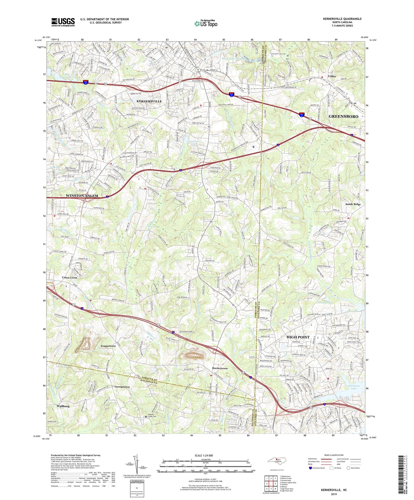
2022 topographic map quadrangle Kernersville in the state of North Carolina. Scale: 1:24000. Based on the newly updated USGS 7.5' US Topo map series, this map is in the following counties: Forsyth, Guilford, Davidson. The map contains contour data, water features, and other items you are used to seeing on USGS maps, but also has updated roads and other features. This is the next generation of topographic maps. Printed on high-quality waterproof paper with UV fade-resistant inks.
Quads adjacent to this one:
West: Winston-Salem East
Northwest: Walkertown
North: Belews Creek
Northeast: Summerfield
East: Guilford
Southeast: High Point East
South: High Point West
Southwest: Midway
This map covers the same area as the classic USGS quad with code o36080a1.
Contains the following named places: Abbotts Creek Cemetery, Abbotts Creek Primitive Baptist Church, Abotts Creek, Beeson Cross Roads Fire and Rescue - Station 26, Beeson Crossroads, Berry Water Gardens, Bunker Hill Church, Charleston Shopping Center, Christy Acres, Clifton Grove Baptist Church, Colfax, Colfax Elementary School, Colfax Fire Department Station 16, Colfax Post Office, Country Meadows, Crawfords Dam, Crawfords Lake, Cuddybum Branch, Faith Church, Fellowship Church, Fox Run, Georgetown, Glenn High School, Glennwood Acres, High Meadows, High Point Fire Department Station 26, High Point Fire Department Station 5, Hillcrest Church, Horneytown, Horneytown Fire and Rescue, Hutchens Dam, Hutchens Lake, Kerner Village Shopping Center, Kernersville, Kernersville Church, Kernersville Fire Department Station 2, Kernersville Fire Department Station 4, Kernersville Post Office, Kernersville Volunteer Rescue and Emergency Medical Services, Lee Lake, Lee Lake Dam, Mary Reich Creek, Mount Carmel Church, Novant Health Kernersville Medical Center, Oak Hollow Lake, Pebble Creek Estates, Peoples Church, Piedmont Province, Pine Tree Golf Club, Pine Tree Lake Number One, Pine Tree Lake Number One Dam, Quail Hollow, Sedge Garden Chapel, Sedge Garden Church, Southern Pilgrim College, Sun Meadows, Sunlight Church, Teaguetown, Town of Kernersville, Township of Abbotts Creek, Township of Deep River, Trulite Church, Union Cross, Union Cross Elementary School, Union Cross Fire and Rescue, Upper Angel Lake, Upper Angel Lake Dam, Wellington Way, Winston - Salem Fire Department - Station 19, WKZL-FM (Winston-Salem), Yorktown, ZIP Codes: 27235, 27265, 27284