MyTopo
High Point West North Carolina US Topo Map
Couldn't load pickup availability
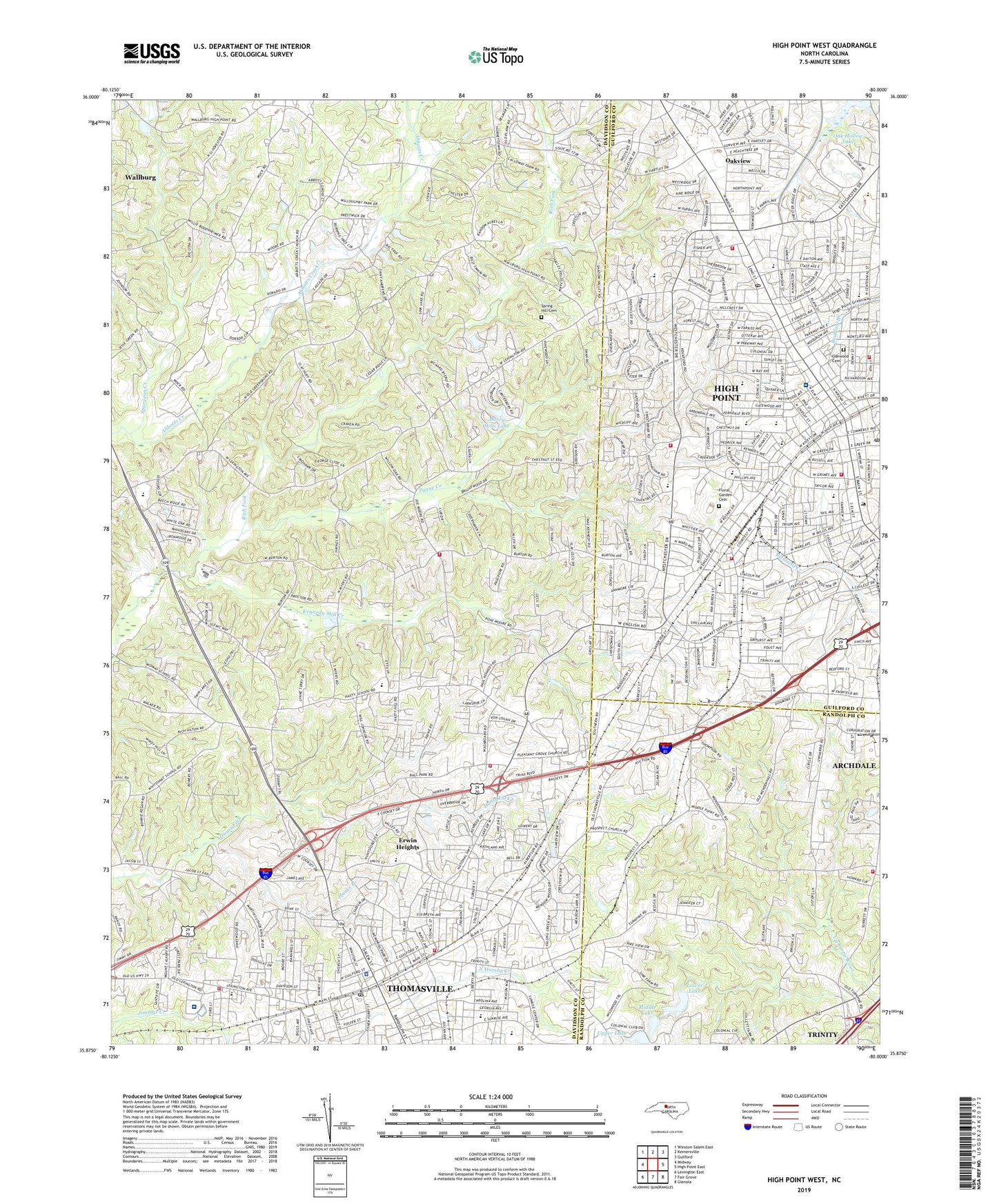
2022 topographic map quadrangle High Point West in the state of North Carolina. Scale: 1:24000. Based on the newly updated USGS 7.5' US Topo map series, this map is in the following counties: Davidson, Guilford, Randolph. The map contains contour data, water features, and other items you are used to seeing on USGS maps, but also has updated roads and other features. This is the next generation of topographic maps. Printed on high-quality waterproof paper with UV fade-resistant inks.
Quads adjacent to this one:
West: Midway
Northwest: Winston-Salem East
North: Kernersville
Northeast: Guilford
East: High Point East
Southeast: Glenola
South: Fair Grove
Southwest: Lexington East
This map covers the same area as the classic USGS quad with code o35080h1.
Contains the following named places: Ada Blair Elementary School, Antioch Baptist Church, Armstrong Park, Brower Field, Brummels, Calvary Church, Church Street School, City of Thomasville, City of Trinity, Cloverdale School, Colonial Elementary School, Conrad Memorial Church, Davidson County Ambulance Building, Davis Dam Number One, Davis Dam Number Two, Davis Lake Number One, Davis Lake Number Two, Doak Park, Emerywood Country Club, Emerywood Post Office, Erwin Heights, Fairview School, Finch Field, Floral Garden Cemetery, Gospel Light Free Will Baptist Church, Guil - Rand Fire Department Station 40, Hanks Branch, Harvell Park, Hasty Baptist Church, Hasty Elementary School, Hasty Fire and Rescue, Hedgecock Park, High Point, High Point Central High School, High Point Fire Department, High Point Fire Department Station 1, High Point Fire Department Station 2 Headquarters, High Point Fire Department Station 3, High Point Fire Department Station 8, High Point Post Office, High Point Regional Hospital, Johnson Street School, Kennedy Mill Creek, Kern Street Elementary School, Kirkland Park School, Lakeview Methodist Church, Ledford High School, Liberty Drive Elementary School, Little White Baptist Church, Lodonberry Estates, Lower Lake, Main Street Junior High School, Memorial Park, Mendenhall Airport, Merry Hills Lake, Merry Hills Lake Dam, Middle Lake, Midway Airport, Northwood School, Norvant Health Thomasville Medical Center, Oakhill School, Oakview, Oakwood Cemetery, Payne Creek, Pennfield, Pilot View Church, Pine Woods Church, Pleasant Grove Church, Prospect Church, Southwest Elementary School, Spring Hill Cemetery, Spring Hill Methodist Church, Spurgeon Creek, Thomasville, Thomasville Fire Department Station 1 Headquarters, Thomasville Fire Department Station 24, Thomasville Fire Department Station 3, Thomasville Police Department, Thomasville Post Office, Thomasville Rescue Squad, Thomasville Senior High School, Tomlinson School, Township of Abbotts Creek, Township of Thomasville, Upper Lake, Westchester Academy, WEYE-FM (Thomasville), WGLD-FM (High Point), WGOS-AM (High Point), WHPE-FM (High Point), Willow Creek Country Club, WMAG-FM (High Point), WMFR-AM (High Point), WOKX-AM (High Point), WTNC-AM (Thomasville), Zion United Church, ZIP Code: 27262


