MyTopo
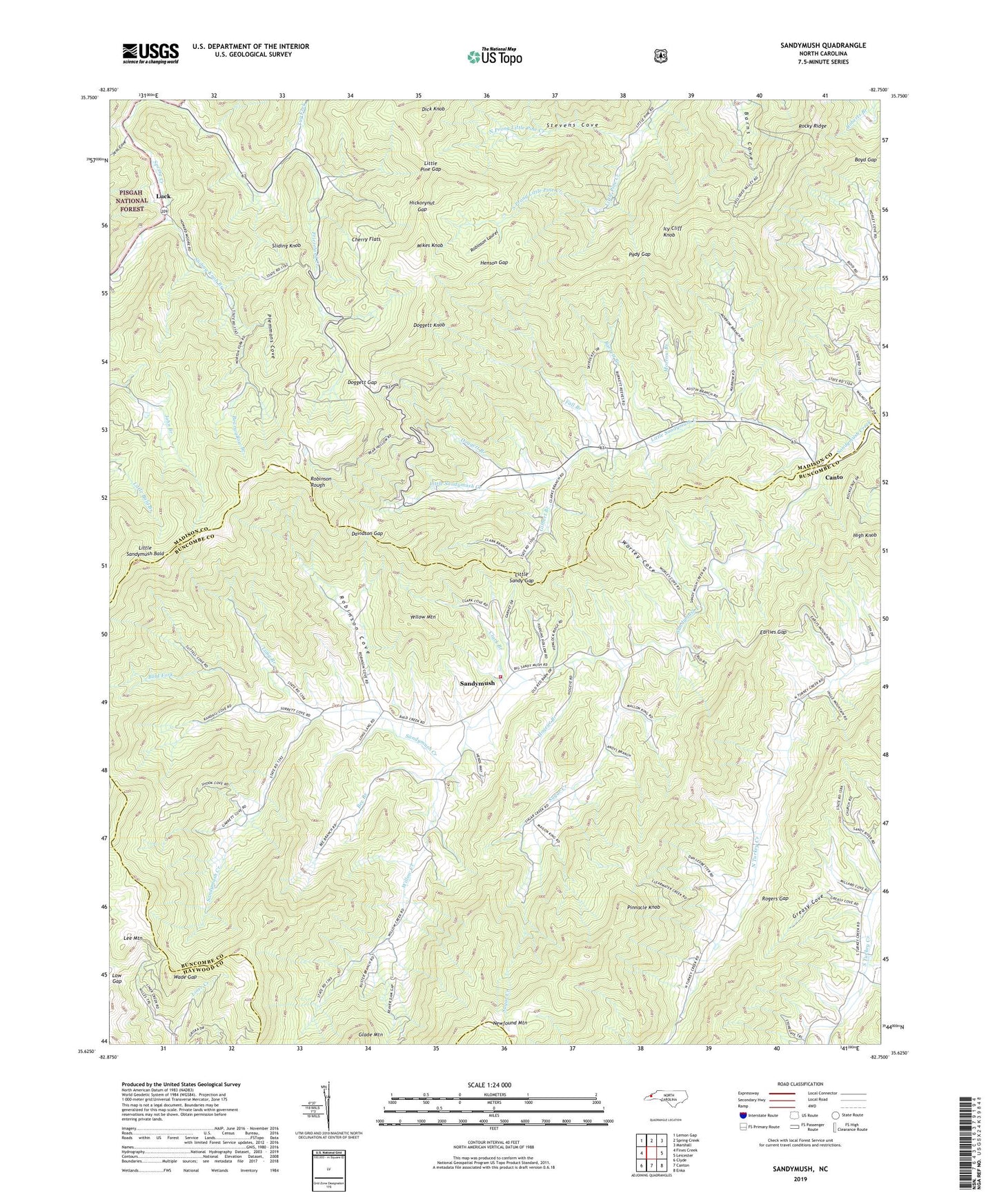
Sandymush North Carolina US Topo Map
Couldn't load pickup availability
Also explore the Sandymush Forest Service Topo of this same quad for updated USFS data
2022 topographic map quadrangle Sandymush in the state of North Carolina. Scale: 1:24000. Based on the newly updated USGS 7.5' US Topo map series, this map is in the following counties: Buncombe, Madison, Haywood. The map contains contour data, water features, and other items you are used to seeing on USGS maps, but also has updated roads and other features. This is the next generation of topographic maps. Printed on high-quality waterproof paper with UV fade-resistant inks.
Quads adjacent to this one:
West: Fines Creek
Northwest: Lemon Gap
North: Spring Creek
Northeast: Marshall
East: Leicester
Southeast: Enka
South: Canton
Southwest: Clyde
This map covers the same area as the classic USGS quad with code o35082f7.
Contains the following named places: Bald Fork, Barrett Branch, Bearwallow Branch, Bee Branch, Beulah Church, Boyd Gap, Canto, Cherry Flats, Chestnut Grove Church, Clark Branch, Crossrock Church, Davidson Gap, Dick Knob, Doggett Branch, Doggett Gap, Doggett Knob, Earlies Gap, Ebenezer Church, Fall Branch, Gilbert Branch, Greasy Branch, Greasy Cove, Henson Gap, Hickorynut Gap, High Knob, Hogeye Branch, Icy Cliff Knob, Jess Cove, Jones Valley Church, Lee Mountain, Leicester Volunteer Fire Department Station 2, Little Pine Gap, Little Sandy Gap, Little Sandymush Bald, Little Sandymush Church, Little Sandymush Creek, Long Branch, Low Gap, Luck, Lusk Chapel, Mikes Knob, Morrow Branch, Mount Pleasant Church, North Prong Little Pine Creek, Pady Gap, Payne Chapel, Pinnacle Knob, Plemmons Cove, Potato Branch, Reynolds Cove, Robinson Cove, Robinson Laurel, Robinson Rough, Rocky Ridge, Rogers Gap, Sandymush, Sliding Knob, Sliding Knob Branch, South Prong Little Pine Creek, Stevens Cove, Sugar Creek, Township 9 Sandy Mush, Township of Sandy Mush, Tug Fork, Wade Gap, Western Chapel, Willow Creek, Worley Cove, Yellow Mountain, ZIP Code: 28748


