MyTopo
Garwood Butte Oregon US Topo Map
Couldn't load pickup availability
Also explore the Garwood Butte Forest Service Topo of this same quad for updated USFS data
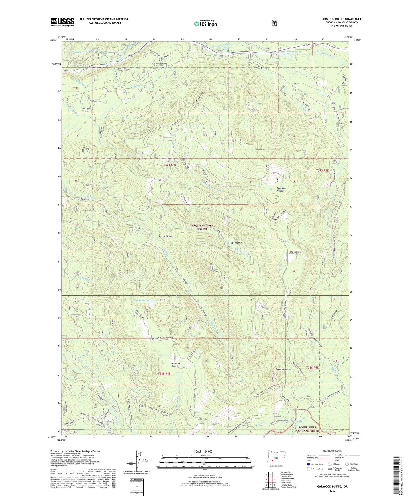
2024 topographic map quadrangle Garwood Butte in the state of Oregon. Scale: 1:24000. Based on the newly updated USGS 7.5' US Topo map series, this map is in the following counties: Douglas. The map contains contour data, water features, and other items you are used to seeing on USGS maps, but also has updated roads and other features. This is the next generation of topographic maps. Printed on high-quality waterproof paper with UV fade-resistant inks.
Quads adjacent to this one:
West: Fish Creek Desert
Northwest: Toketee Falls
North: Potter Mountain
Northeast: Lemolo Lake
East: Diamond Lake
Southeast: Pumice Desert West
South: Hamaker Butte
Southwest: Fish Mountain
This map covers the same area as the classic USGS quad with code o43122b3.
Contains the following named places: Bear Creek, Beartrap Meadow, Camp Creek, Chinquapin Creek, Clearwater Canal Number 2, Clearwater Number One Diversion Dam, Devils Canyon, Dog Prairie, Dog Prairie Creek, Dog Prairie Shelter, Dog Prairie Trail, Garwood Butte, Lava Creek, Maple Creek, Old Man Camp, Rough Creek Trail, Skookum Creek, Skookum Lake, Skookum Prairie, Skookum Prairie Lookout, Stump Lake, Three Lakes, Three Lakes Camp, Trap Creek, Trap Mountain, Whitehorse Falls, Whitehorse Falls Recreation Site