MyTopo
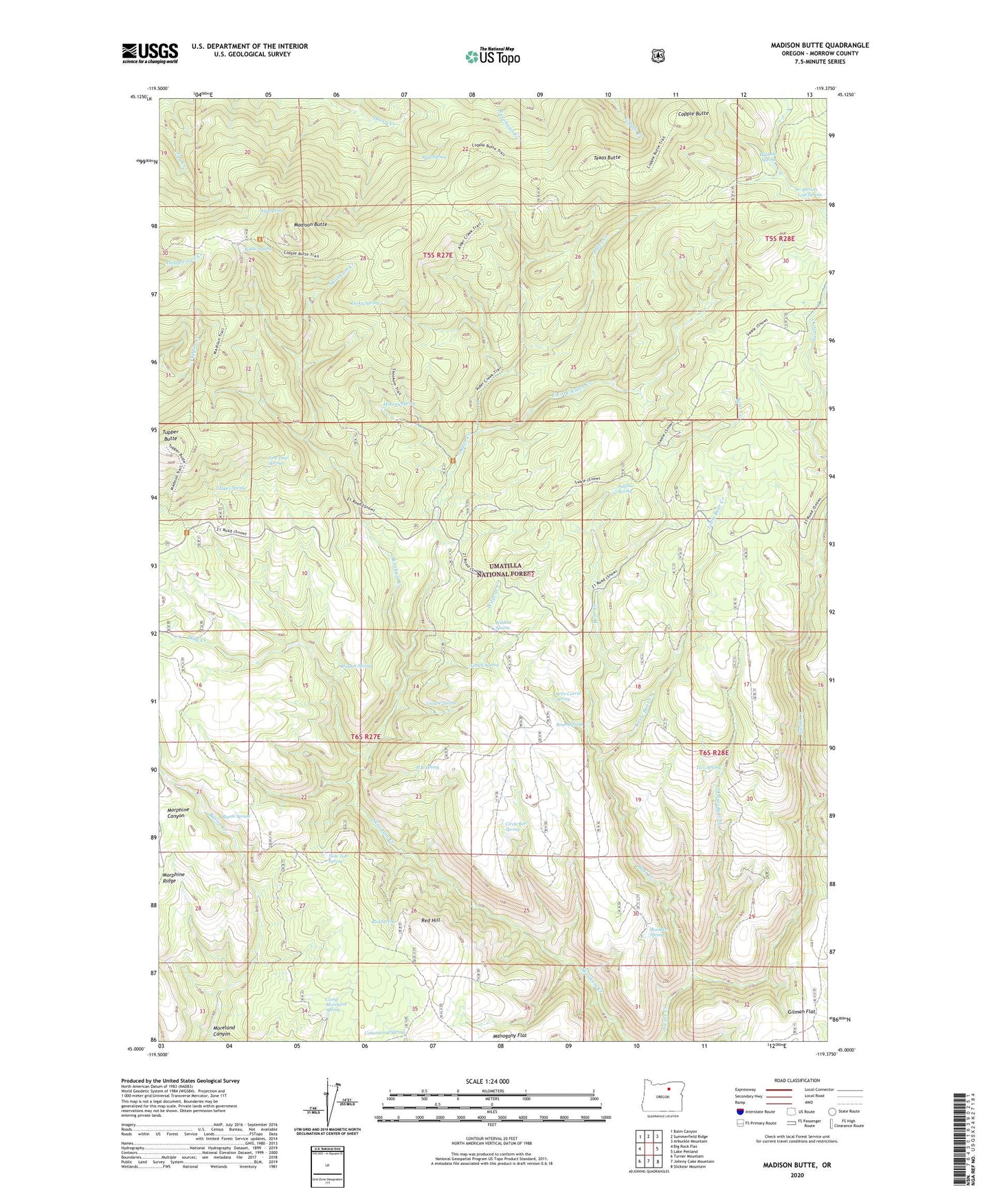
Madison Butte Oregon US Topo Map
Couldn't load pickup availability
Also explore the Madison Butte Forest Service Topo of this same quad for updated USFS data
2024 topographic map quadrangle Madison Butte in the state of Oregon. Scale: 1:24000. Based on the newly updated USGS 7.5' US Topo map series, this map is in the following counties: Morrow. The map contains contour data, water features, and other items you are used to seeing on USGS maps, but also has updated roads and other features. This is the next generation of topographic maps. Printed on high-quality waterproof paper with UV fade-resistant inks.
Quads adjacent to this one:
West: Big Rock Flat
Northwest: Balm Canyon
North: Summerfield Ridge
Northeast: Arbuckle Mountain
East: Lake Penland
Southeast: Slickear Mountain
South: Johnny Cake Mountain
Southwest: Turner Mountain
This map covers the same area as the classic USGS quad with code o45119a4.
Contains the following named places: Alder Creek, Arnica Spring, Bacon Spring, Bear Creek, Bottle Spring, Brum Spring, Camp Moreland Spring, Circle Bar Ranch, Circle Bar Spring, Copple Butte, Copple Butte Trail, Cottonwood Spring, East Fork Alder Creek, Grouse Spring, H K Spring, Hallock Spring, Hidden Spring, Hog Creek, Jug Spring, Little Bear Creek, Lucky Spring, Madison Butte, Madison Butte Trail, Mahogany Flat, Midway Spring, Moreland Canyon, Morphine Ranch, Mud Spring, New Deal Spring, Nine Top Camp, Nine Top Spring, Red Hill, Red Spring, Section Line Spring, Skookum Game Exclosure, Skookum Spring, Sulphur Spring, Texas Butte, Tupper Butte, Tupper Guard Station, Tupper Spring, Two Spring, Two Spring Creek, Wildcat Creek, Wildcat Spring, Wire Corral Spring