MyTopo
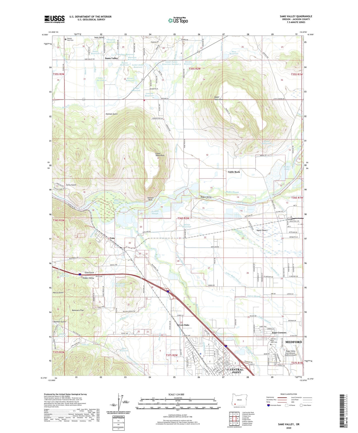
Sams Valley Oregon US Topo Map
Couldn't load pickup availability
2024 topographic map quadrangle Sams Valley in the state of Oregon. Scale: 1:24000. Based on the newly updated USGS 7.5' US Topo map series, this map is in the following counties: Jackson. The map contains contour data, water features, and other items you are used to seeing on USGS maps, but also has updated roads and other features. This is the next generation of topographic maps. Printed on high-quality waterproof paper with UV fade-resistant inks.
Quads adjacent to this one:
West: Gold Hill
Northwest: McConville Peak
North: Boswell Mountain
Northeast: Shady Cove
East: Eagle Point
Southeast: Medford East
South: Medford West
Southwest: Mount Isabelle
This map covers the same area as the classic USGS quad with code o42122d8.
Contains the following named places: Aeropuerto de los Banditos, Agate, Agate Desert, Agate Post Office, Bear Creek, Bear Creek Valley Sanitary Authority, Bommers Flat, Bybee Bridge, Camp Alden, Central Point, Central Point Downtown Parking Facility Park and Ride, Central Point IOOF Cemetery, Central Point Post Office, Chirgwin Reservoir, City of Central Point, Cliff Creek, Coker Butte Lateral, Crater Academy of Health and Public Services, Crater Academy of Natural Sciences, Crater High School, Crater Renaissance Academy, Crater Rock Museum, Croman Corporation Helipad, Curry Gulch, Dean Creek, Dean Reservoir, Duggan Dam, Erickson Air Crane Heliport, Fishers Ferry Jackson County Park Boat Ramp, Fort Lane, Fort Lane Jackson County Gravel Boat Ramp, Four Corners, Gold Gulch, Gold Ray Dam, Gold Ray Reservoir, Griffin Creek, Harrison Reservoir, Hidden Valley, Hixson Reservoir, Holman Gulch, Hull Orchard, Jackson County Fairgrounds, Jackson County Fire District 3 Sams Valley Station, Jackson Creek, James Reservoir, Jewett Elementary School, KCHC-FM, Kelly Slough, Kendall Slough, Koellner Reservoir, Korner Reservoir, Lake of the Cedars, Lane Creek, Lester James Dam, Lester James Dam Number 3, Lester James Reservoir, Lester James Reservoir Number 3, Lithia Amphitheatre, Little Butte Creek, Lomoha Reservoir, Lower Table Rock, Manseneta Post Office, Martin Reservoir, McCormick Reservoir, Medford Regional Water Reclamation Facility, Medford Waste Water Treatment Plant Biogas Digesters, Medford Water Commission Water Treatment Plant, Middough Creek, Military Slough, Military Slough Reservoirs, Millionaire Mine, Modoc Pond, Modoc Reservoirs, Modoc Slough, Molby Creek, Morris Reservoir, Nelson Reservoir, Oregon Department of Forestry Heliport, Oregon State Police Southwest Region Headquarters / Central Point Area Command, Pankey Park Cemetery, Panther Gulch, Petrehn Reservoir, Quackenbush Reservoir, Ray Gold, Rogue Valley, Roseburg Lumber Company Airstrip, Salmon Rock, Sams Valley, Sams Valley Elementary School, Sams Valley Post Office, Scenic Middle School, Seven Oaks, Skou Dam, Skou Reservoir, Snider Creek, Southern County Justice Court, Straus Reservoir, Swanson Creek, Table Rock, Table Rock Canal, Table Rock Post Office, Table Rock School, Table Rock Station, Tolo, Tolo Post Office, TouVelle State Park, Touvelle State Park Boat Ramp, Upper Table Rock, Upton Lateral, Upton Slough, Whetstone Creek, Willow Creek, Willow Springs Post Office, Willow Springs School, Zana Creek, ZIP Code: 97502


