MyTopo
Shumway Reservoir Oregon US Topo Map
Couldn't load pickup availability
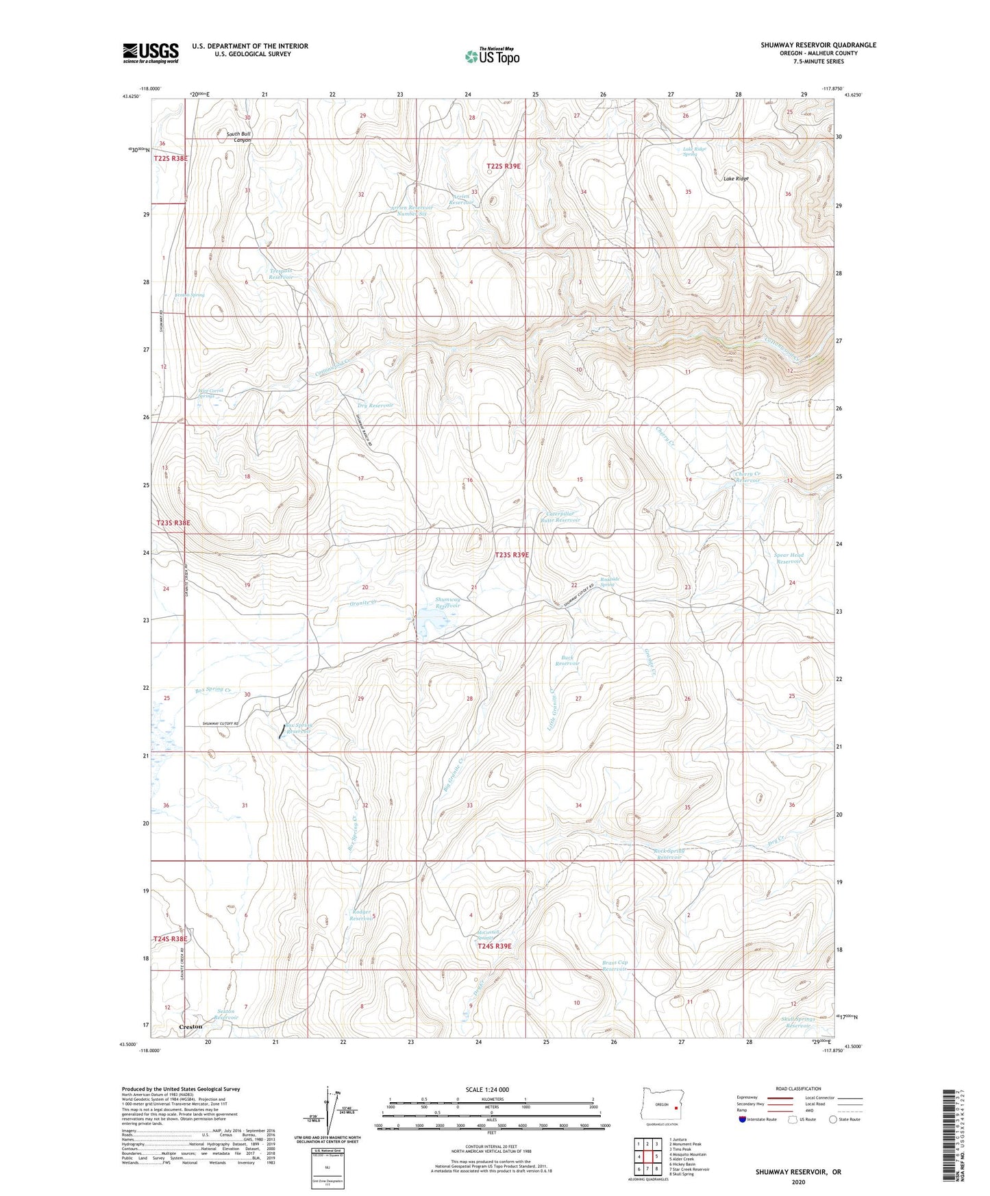
2023 topographic map quadrangle Shumway Reservoir in the state of Oregon. Scale: 1:24000. Based on the newly updated USGS 7.5' US Topo map series, this map is in the following counties: Malheur. The map contains contour data, water features, and other items you are used to seeing on USGS maps, but also has updated roads and other features. This is the next generation of topographic maps. Printed on high-quality waterproof paper with UV fade-resistant inks.
Quads adjacent to this one:
West: Mosquito Mountain
Northwest: Juntura
North: Monument Peak
Northeast: Tims Peak
East: Alder Creek
Southeast: Skull Spring
South: Star Creek Reservoir
Southwest: Hickey Basin
This map covers the same area as the classic USGS quad with code o43117e8.
Contains the following named places: Arrien Reservoir, Arrien Reservoir Number Six, Big Granite Creek, Box Spring Creek, Box Spring Reservoir, Box Springs Dam, Brass Cap Reservoir, Buck Reservoir, Caterpillar Butte Reservoir, Cherry Creek Reservoir, Dry Reservoir, Fenton Spring, Lake Ridge Spring, Little Granite Creek, McConnell Springs, Roadside Spring, Rock Spring Reservoir, Rodger Reservoir, Sexton Reservoir, Shumway Dam, Shumway Ranch, Shumway Reservoir, Skull Springs Reservoir, Spear Head Reservoir, Trespass Reservoir, Wire Corral Springs