MyTopo
Westfall Butte Oregon US Topo Map
Couldn't load pickup availability
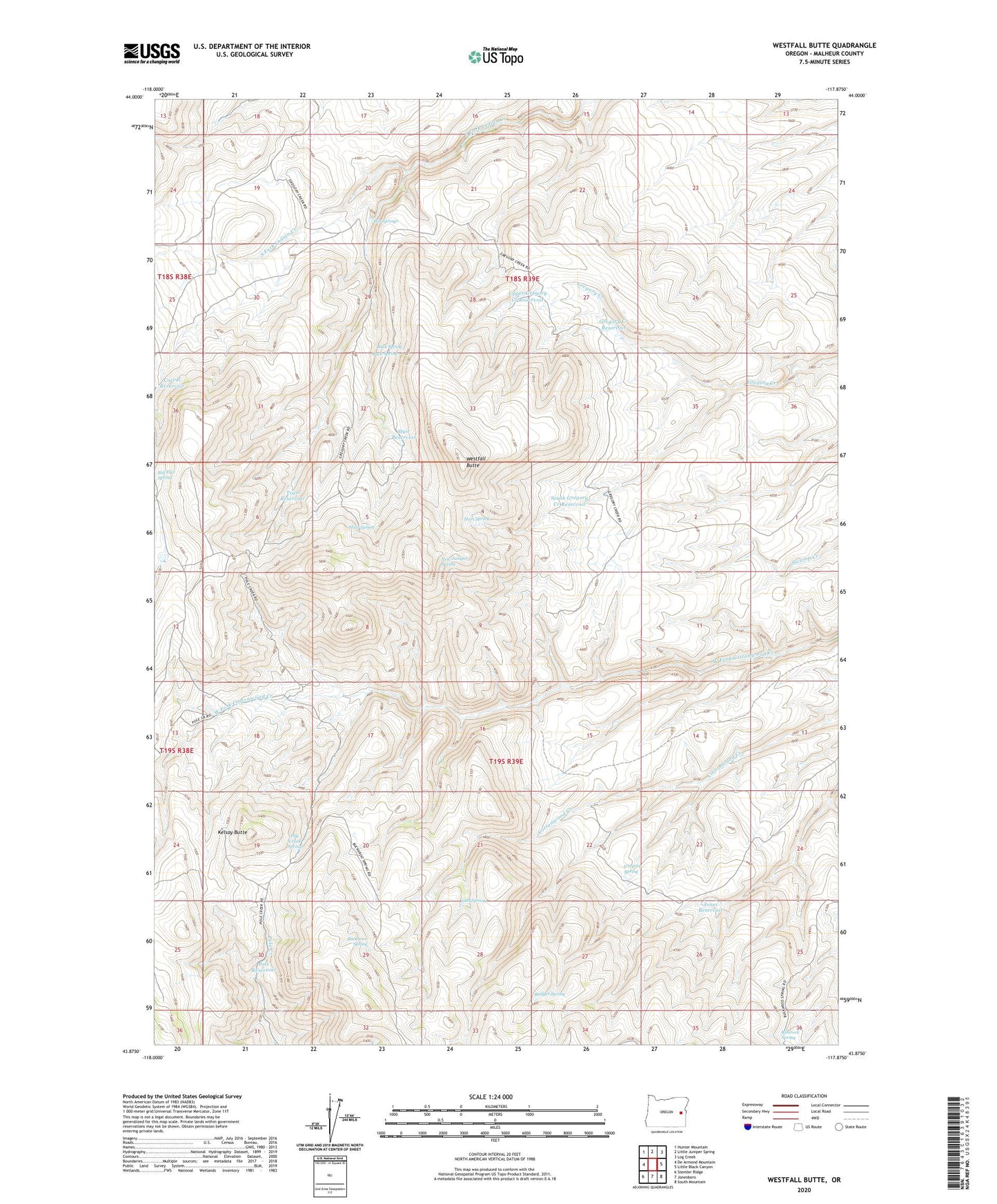
2024 topographic map quadrangle Westfall Butte in the state of Oregon. Scale: 1:24000. Based on the newly updated USGS 7.5' US Topo map series, this map is in the following counties: Malheur. The map contains contour data, water features, and other items you are used to seeing on USGS maps, but also has updated roads and other features. This is the next generation of topographic maps. Printed on high-quality waterproof paper with UV fade-resistant inks.
Quads adjacent to this one:
West: De Armond Mountain
Northwest: Hunter Mountain
North: Little Juniper Spring
Northeast: Log Creek
East: Little Black Canyon
Southeast: South Mountain
South: Jonesboro
Southwest: Stemler Ridge
This map covers the same area as the classic USGS quad with code o43117h8.
Contains the following named places: Badger Spring, Becker Horse Camp, Big Springs, Buck Spring, Buckaroo Spring, Corral Reservoir, Gregory Creek Reservoir, Gregory Spring, Hart Spring, Hub Spring, Jones Reservoir, Kelsay Butte, Muir Reservoir, Muir Spring, New Juniper Spring, Pole Creek Spring, Pole Reservoir, Rimrock Spring, South Gregory Creek Reservoir, Trail Reservoir, Upper Gregory Creek Reservoir, Westfall Butte