MyTopo
Blain Pennsylvania US Topo Map
Couldn't load pickup availability
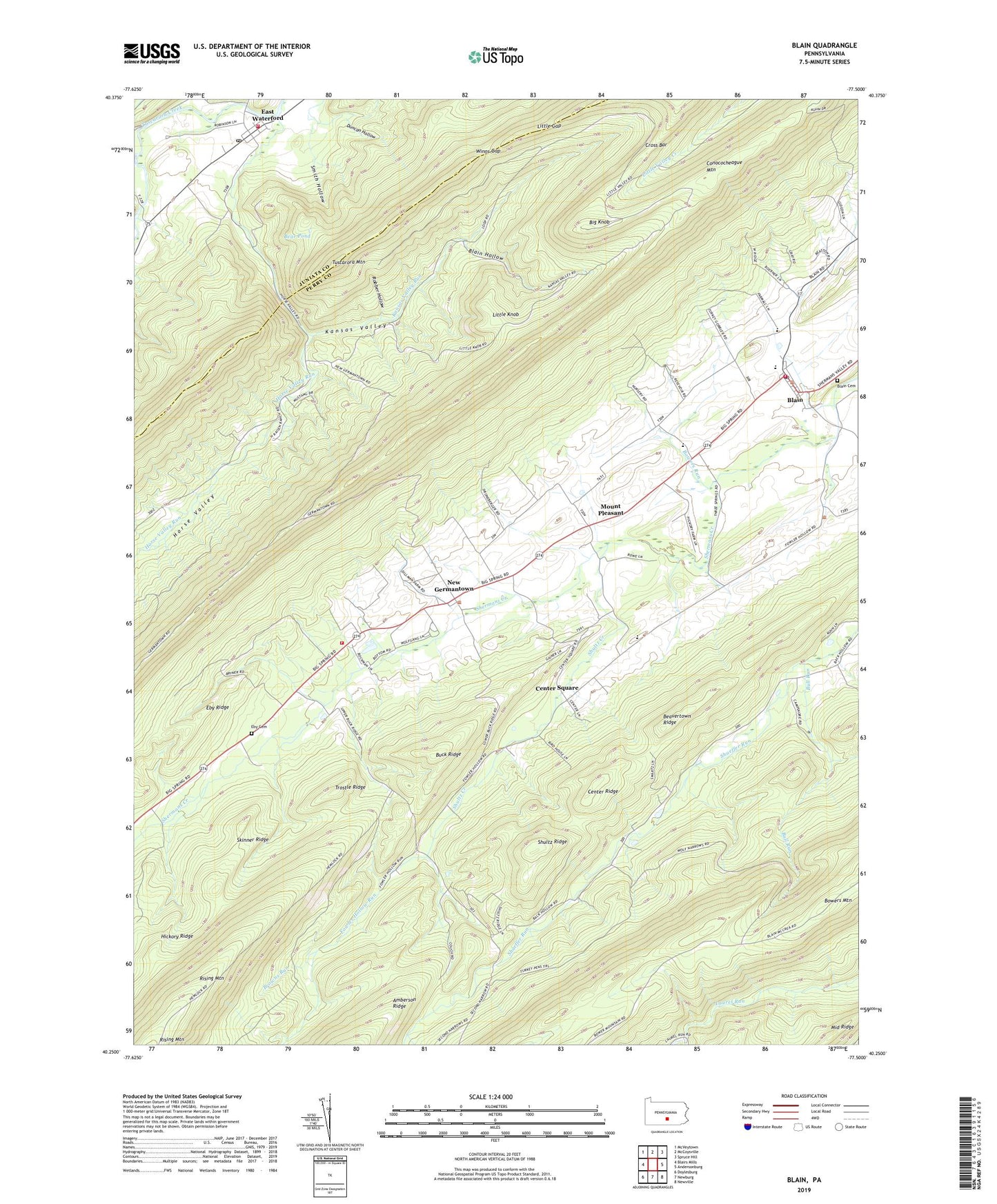
2023 topographic map quadrangle Blain in the state of Pennsylvania. Scale: 1:24000. Based on the newly updated USGS 7.5' US Topo map series, this map is in the following counties: Perry, Juniata. The map contains contour data, water features, and other items you are used to seeing on USGS maps, but also has updated roads and other features. This is the next generation of topographic maps. Printed on high-quality waterproof paper with UV fade-resistant inks.
Quads adjacent to this one:
West: Blairs Mills
Northwest: McVeytown
North: McCoysville
Northeast: Spruce Hill
East: Andersonburg
Southeast: Newville
South: Newburg
Southwest: Doylesburg
This map covers the same area as the classic USGS quad with code o40077c5.
Contains the following named places: Alfarata Trail, Bear Pond, Beasley Trail, Beavertown Ridge, Big Knob, Big Knob Trail, Blain, Blain Cemetery, Blain Fire Company Station 1, Blain Hollow, Blain Post Office, Blue Knob Lookout Tower, Boiler Trail, Borough of Blain, Bowers Run, Bowman Trail, Browns Run, Buck Ridge, Burnt Trail, CCC Camp, Center Ridge, Center Square, Cold Spring Run, Conococheague Mountain, Conococheague Trail, Cross Bar, Duncan Hollow, East Waterford, East Waterford Census Designated Place, East Waterford Community Fire Company Station 7, East Waterford Narrows, East Waterford Post Office, Eby Cemetery, Eby Ridge, End Trail, Fairview Church, Fairview School, Fowler Hollow Run, Fowler Hollow State Park, Gibbons Trail, Hampton Trail, Hickory Ridge, Horse Valley, Horse Valley Run, Kansas Valley, Kansas Valley Park Area, Kansas Valley Run, Keen Trail, Lack - Tuscarora Emergency Medical Services Station 22, Little Gap, Little Gap Trail, Little Knob, Mount Pleasant, Mumper Spring Trail, Narrow Gauge Trail, Negro Clearing Trail, New Germantown, Old Blain Trail, Pennsylvania Conservation and Natural Resources District 3 Tuscarora - Fire Department, Red Corner School, Red Hill School, Rising Mountain Trail, Robber Hollow, Robber Hollow Trail, Shaeffer Run, Sheriff Trail, Shultz Creek, Shultz Ridge, Skinner Ridge, Smith Hollow, Telephone Trail, The Kettle, Three Springs Church, Township of Jackson, Township of Toboyne, Trostle Ridge, Turkey Pens Trail, Tuscarora State Forest, Tuscarora Trail, Winns Gap, Winns Gap Trail, Yellow Pine Trail, ZIP Codes: 17006, 17071


