MyTopo
Haucks Lake South Dakota US Topo Map
Couldn't load pickup availability
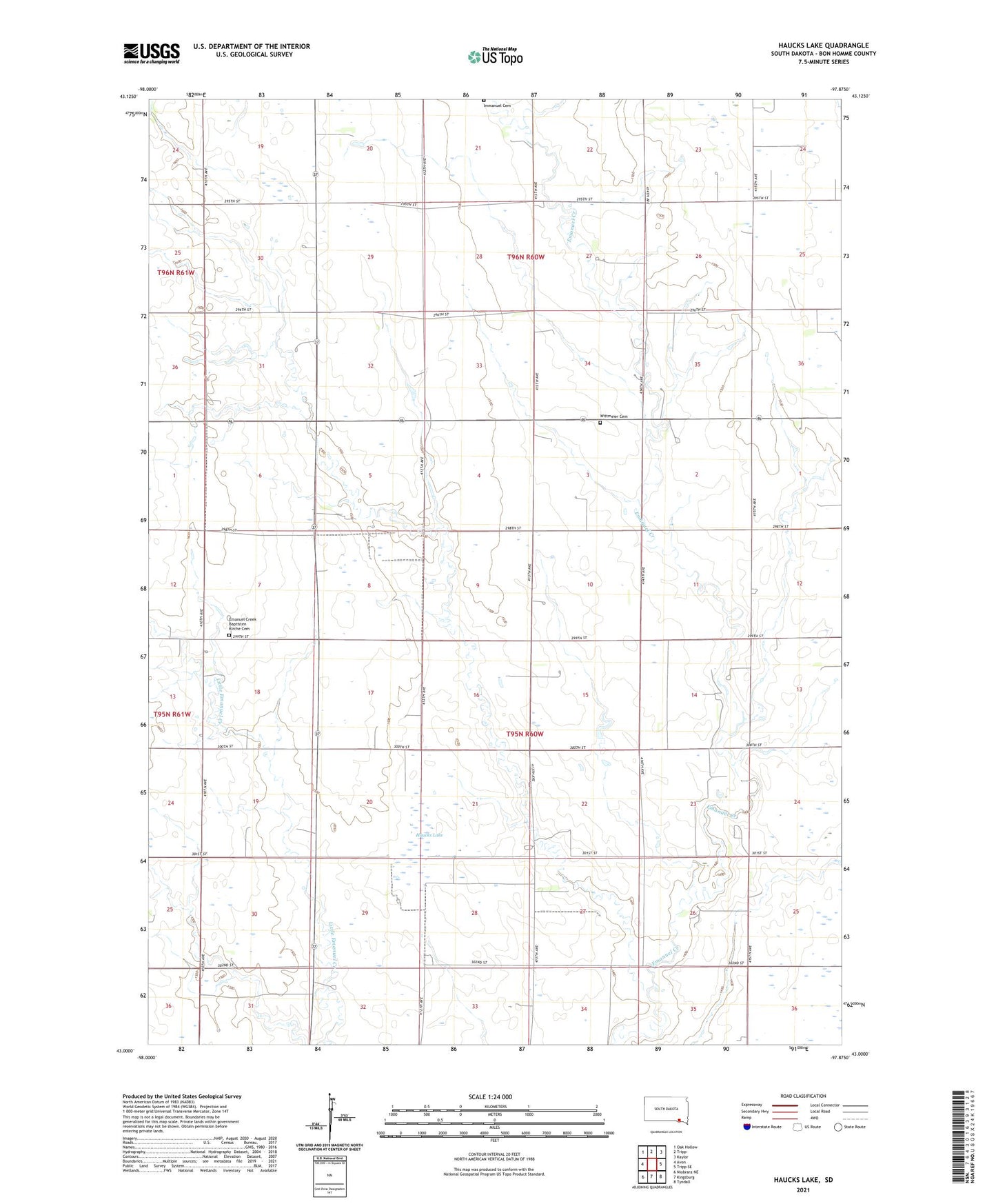
2021 topographic map quadrangle Haucks Lake in the state of South Dakota. Scale: 1:24000. Based on the newly updated USGS 7.5' US Topo map series, this map is in the following counties: Bon Homme. The map contains contour data, water features, and other items you are used to seeing on USGS maps, but also has updated roads and other features. This is the next generation of topographic maps. Printed on high-quality waterproof paper with UV fade-resistant inks.
Quads adjacent to this one:
West: Avon
Northwest: Oak Hollow
North: Tripp
Northeast: Kaylor
East: Tripp SE
Southeast: Tyndall
South: Kingsburg
Southwest: Niobrara NE
This map covers the same area as the classic USGS quad with code o43097a8.
Contains the following named places: Danzig Church, Dewald School, Emanuel Creek Baptisten Kirche Cemetery, Haucks Lake, Hoff School, Immanuel Cemetery, School Number 70, School Number 71, School Number 72, Township of Franklin, Township of Vielhauer, Unorganized Territory of Northwest Bon Homme, Wittmeier Cemetery