MyTopo
Bartlett Texas US Topo Map
Couldn't load pickup availability
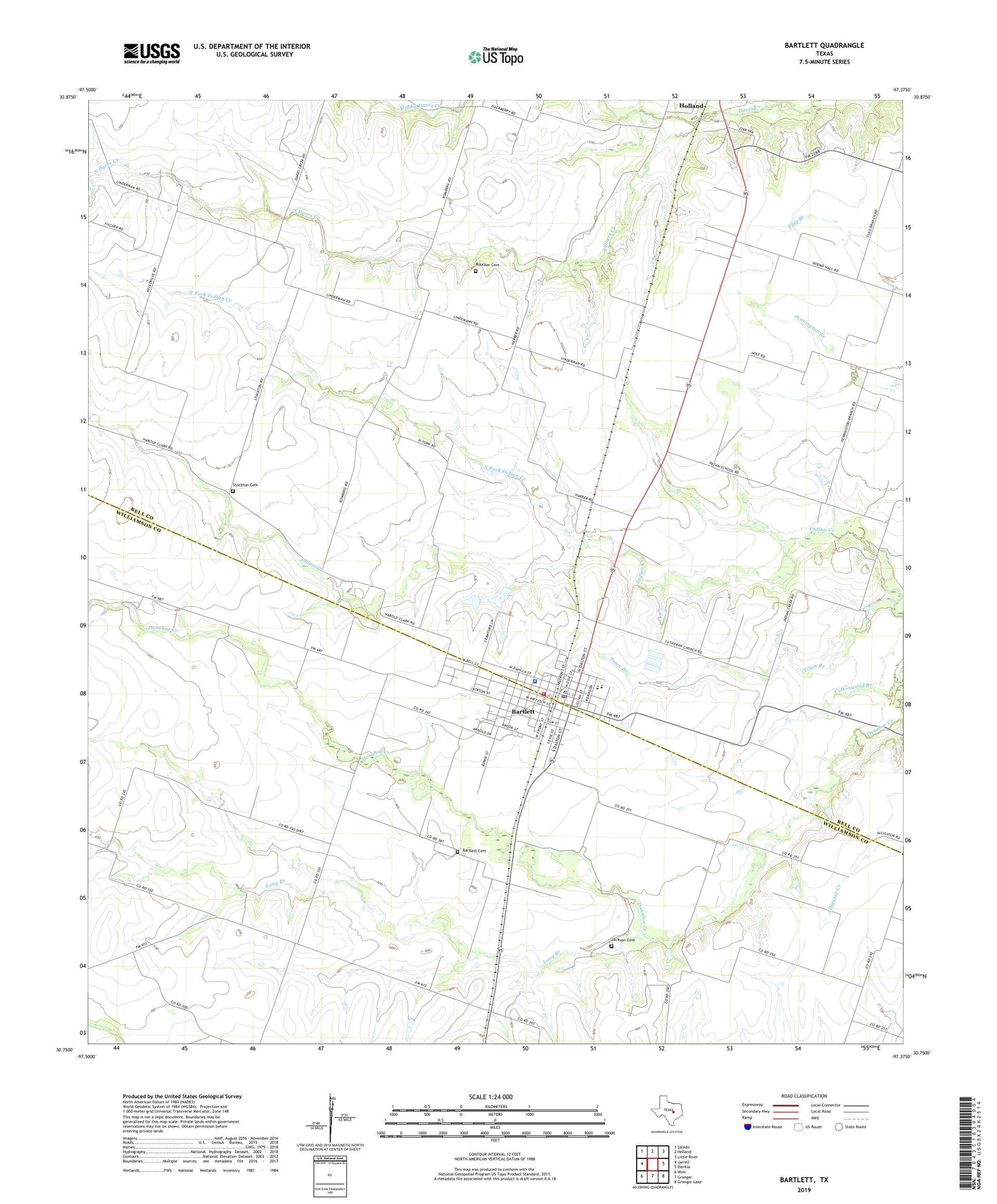
2022 topographic map quadrangle Bartlett in the state of Texas. Scale: 1:24000. Based on the newly updated USGS 7.5' US Topo map series, this map is in the following counties: Bell, Williamson. The map contains contour data, water features, and other items you are used to seeing on USGS maps, but also has updated roads and other features. This is the next generation of topographic maps. Printed on high-quality waterproof paper with UV fade-resistant inks.
Quads adjacent to this one:
West: Jarrell
Northwest: Salado
North: Holland
Northeast: Little River
East: Davilla
Southeast: Granger Lake
South: Granger
Southwest: Weir
This map covers the same area as the classic USGS quad with code o30097g4.
Contains the following named places: Bartlett, Bartlett Cemetery, Bartlett City Hall, Bartlett Police Department, Bartlett Post Office, Bartlett Volunteer Fire Department and First Responders, City of Bartlett, Cottonwood Branch, Jackson Cemetery, Long Branch, North Fork Indian Creek, Roucker Cemetery, South Darrs Creek, Stockton Cemetery, Texas Department of Criminal Justice Bartlett State Jail, Town Branch, ZIP Code: 76511