MyTopo
Little River Texas US Topo Map
Couldn't load pickup availability
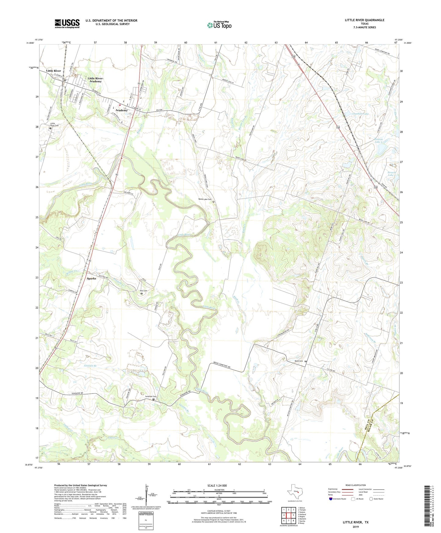
2022 topographic map quadrangle Little River in the state of Texas. Scale: 1:24000. Based on the newly updated USGS 7.5' US Topo map series, this map is in the following counties: Bell, Milam. The map contains contour data, water features, and other items you are used to seeing on USGS maps, but also has updated roads and other features. This is the next generation of topographic maps. Printed on high-quality waterproof paper with UV fade-resistant inks.
Quads adjacent to this one:
West: Holland
Northwest: Belton
North: Temple
Northeast: Seaton
East: Rogers
Southeast: Sharp
South: Davilla
Southwest: Bartlett
This map covers the same area as the classic USGS quad with code o30097h3.
Contains the following named places: Academy, Academy City Hall, Academy Elementary School, Academy High School, Academy Junior High School, Bell County Alternative School, Bell-Milam-Falls Water Tower, Boggy Creek, Cathey Creek, Central Texas Water Supply Water Tower, City of Little River-Academy, City of Little Water Tower, County Line Church, First Baptist Church, First Baptist Church of Academy, Georgia Branch, Joe Lee, Joe Lee School, John Glover Stadium, Knob Creek, Langham Lake Dam, Lansham Lake, Little River, Little River Academy Post Office, Little River Academy Volunteer Fire Department, Little River Cemetery, Little River Community Center, Little River Substation, Little River United Methodist Church, Little River-Academy, Margie Lou Branch, Prewitt Lake 2, Prewitt Lake 2 Dam, Prewitt Lake 5, Prewitt Lake 5 Dam, Reed Cemetery, Reeds Lake Cemetery, Rogers Division, Runnells Creek, Sparks, Sunshine Cemetery, Volo Cemetery, Willow Creek