MyTopo
Bee Caves Creek Texas US Topo Map
Couldn't load pickup availability
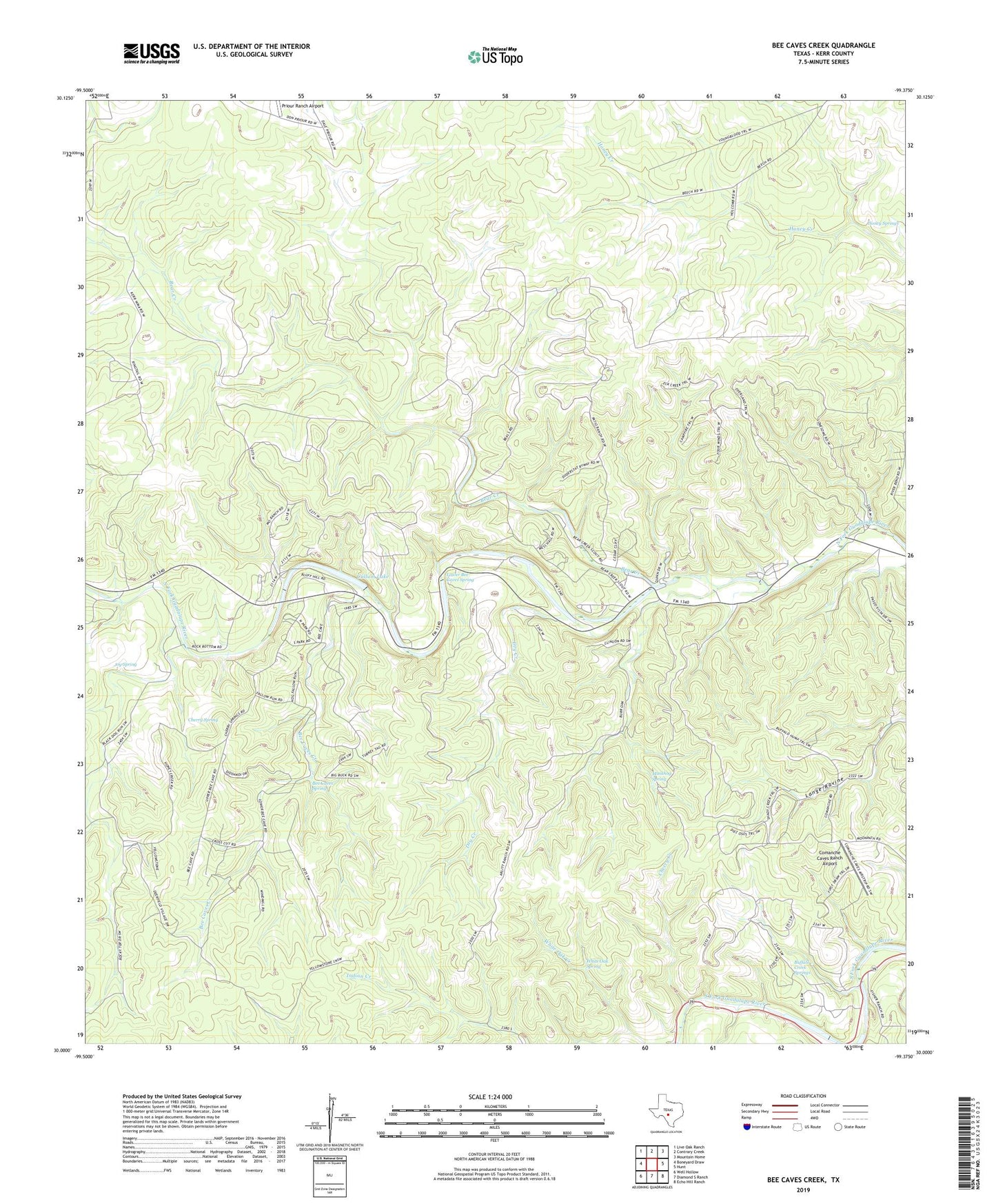
2022 topographic map quadrangle Bee Caves Creek in the state of Texas. Scale: 1:24000. Based on the newly updated USGS 7.5' US Topo map series, this map is in the following counties: Kerr. The map contains contour data, water features, and other items you are used to seeing on USGS maps, but also has updated roads and other features. This is the next generation of topographic maps. Printed on high-quality waterproof paper with UV fade-resistant inks.
Quads adjacent to this one:
West: Boneyard Draw
Northwest: Live Oak Ranch
North: Contrary Creek
Northeast: Mountain Home
East: Hunt
Southeast: Echo Hill Ranch
South: Diamond S Ranch
Southwest: Well Hollow
This map covers the same area as the classic USGS quad with code o30099a4.
Contains the following named places: Bear Creek, Bee Cave Windmill, Bee Caves Creek, Bee Caves Spring, Buffalo Creek Springs, Camp Waldemar, Cherry Creek, Cherry Spring, Comanche Caves Ranch Airport, Cullum Estate Number 1 Dam, Cullum Lake, Dry Creek, Dry Section Windmill, Durst Windmill, Field Windmill, Four Corners Windmill, Honey Springs, Indian Creek, Ingram Division, Jarman Windmill, Joy Spring, Kerr Wildlife Management Area Trail, Lower Bee Caves Spring, MO Ranch, Muskhog Spring, Mystic Springs, Patio Ranch, Plot Windmill, Priour Ranch Airport, Ringtail Windmill, Telephone Hill Windmill, Wagon Wheel Ranch, White Oak Creek, White Oak Spring