MyTopo
Buckhorn Texas US Topo Map
Couldn't load pickup availability
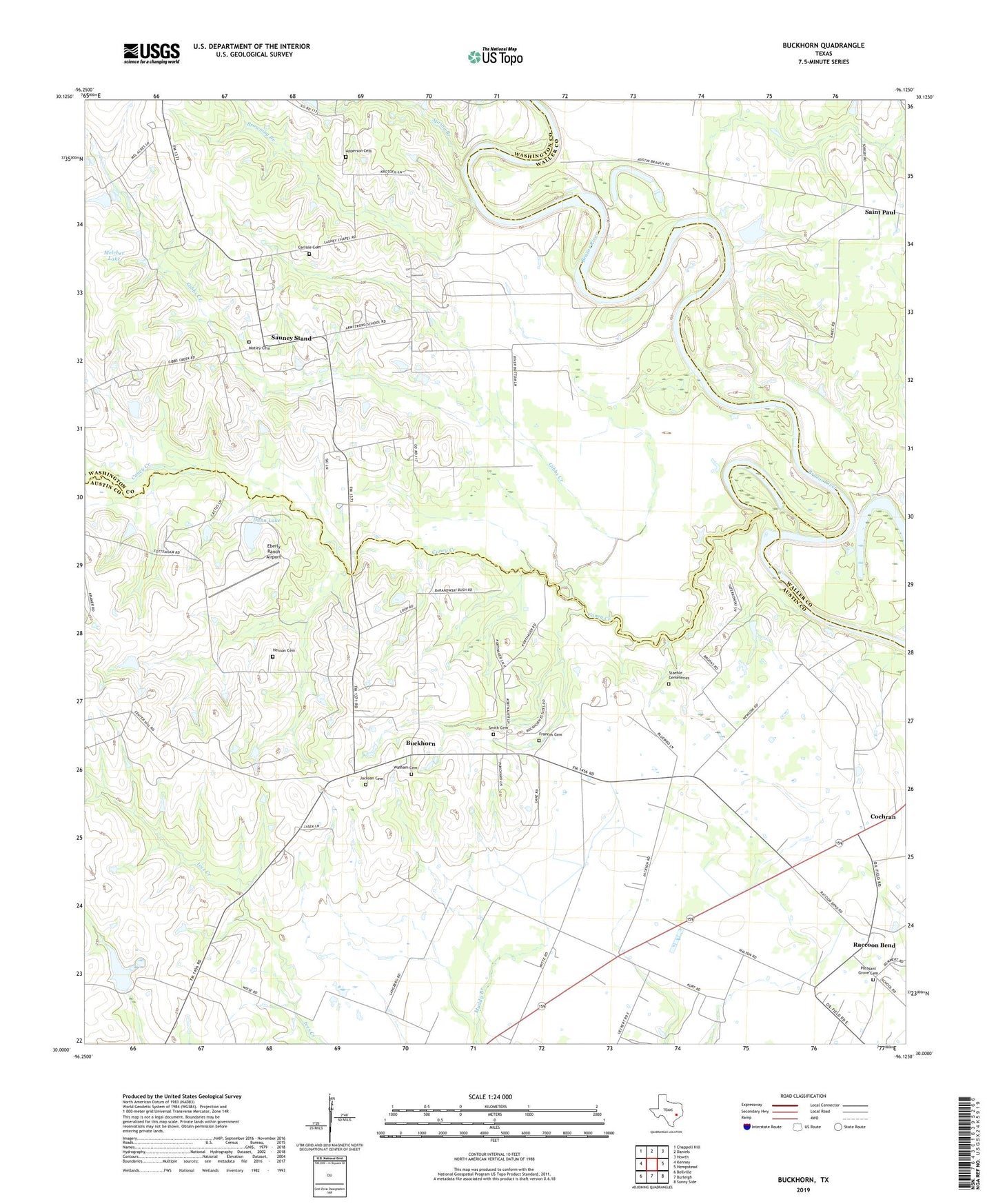
2022 topographic map quadrangle Buckhorn in the state of Texas. Scale: 1:24000. Based on the newly updated USGS 7.5' US Topo map series, this map is in the following counties: Austin, Washington, Waller. The map contains contour data, water features, and other items you are used to seeing on USGS maps, but also has updated roads and other features. This is the next generation of topographic maps. Printed on high-quality waterproof paper with UV fade-resistant inks.
Quads adjacent to this one:
West: Kenney
Northwest: Chappell Hill
North: Daniels
Northeast: Howth
East: Hempstead
Southeast: Sunny Side
South: Burleigh
Southwest: Bellville
This map covers the same area as the classic USGS quad with code o30096a2.
Contains the following named places: Apperson Cemetery, Arnold Lake, Arnold Lake Dam, Browning Branch, Buckhorn, Caney Creek, Carlisle Cemetery, Cochran, Cochran School, Dunn Lake, Dunn Lake Dam, Eberly Ranch Airport, Frances Cemetery, Gibbs Creek, Henson Cemetery, Jackson Cemetery, Melcher Lake, Melcher Lake Dam, Motley Cemetery, Perry Lake, Pleasant Grove Cemetery, Raccoon Bend, Saint Paul, Samuel Chapel, Sauney Chapel, Sauney Stand, Smith Cemetery, Spring Branch, Staehle Cemeteries, Union Center School, Washam Cemetery