MyTopo
Willow City Texas US Topo Map
Couldn't load pickup availability
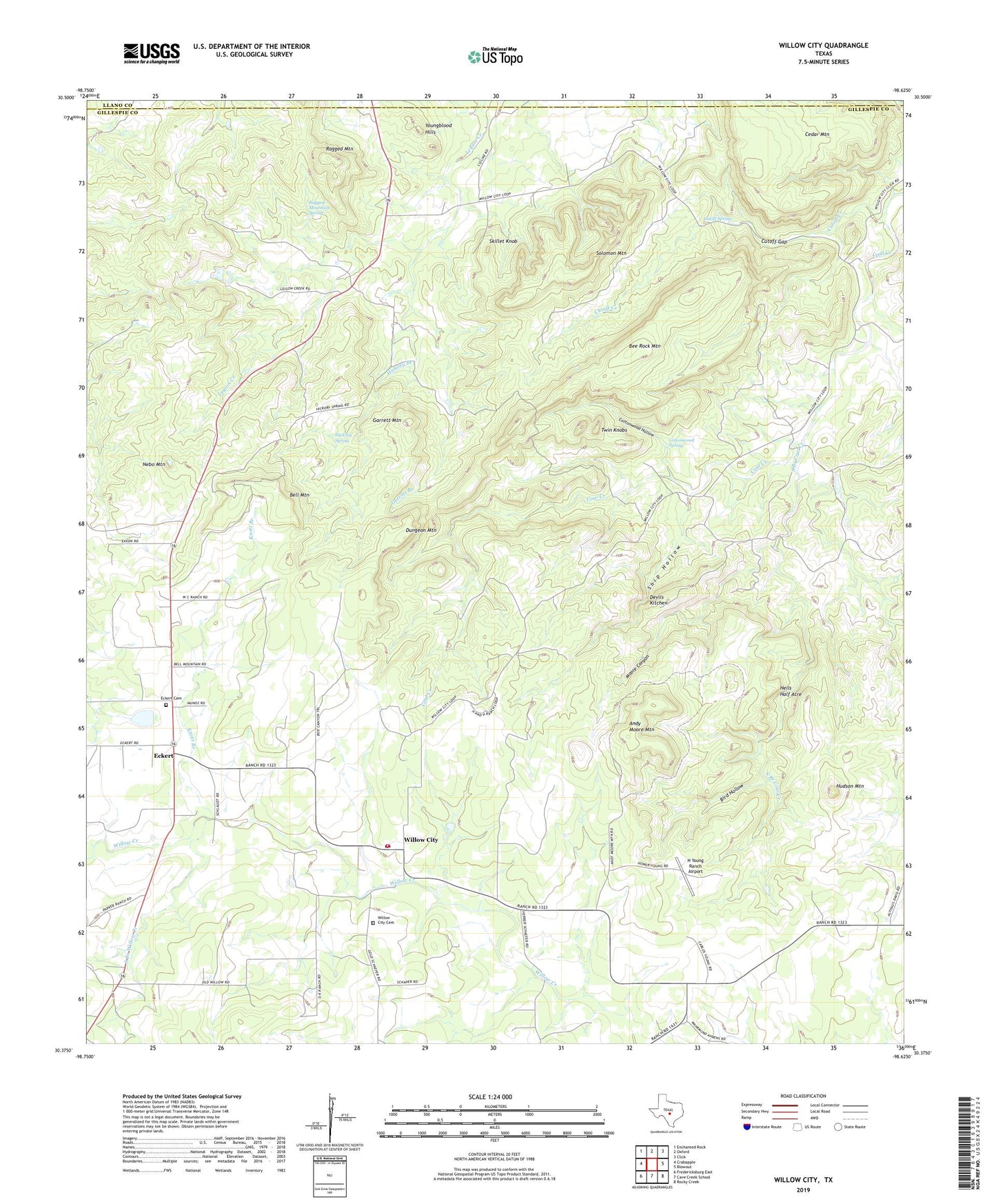
2022 topographic map quadrangle Willow City in the state of Texas. Scale: 1:24000. Based on the newly updated USGS 7.5' US Topo map series, this map is in the following counties: Gillespie, Llano. The map contains contour data, water features, and other items you are used to seeing on USGS maps, but also has updated roads and other features. This is the next generation of topographic maps. Printed on high-quality waterproof paper with UV fade-resistant inks.
Quads adjacent to this one:
West: Crabapple
Northwest: Enchanted Rock
North: Oxford
Northeast: Click
East: Blowout
Southeast: Rocky Creek
South: Cave Creek School
Southwest: Fredericksburg East
This map covers the same area as the classic USGS quad with code o30098d6.
Contains the following named places: Andy Moore Mountain, Bee Rock Mountain, Bell Mountain, Bird Hollow, Cottonwood Hollow, Cottonwood Spring, Cutoff Creek, Cutoff Gap, Cutoff Spring, Devils Kitchen, Dungeon Mountain, Eckert, Eckert Cemetery, Eckert Pumping Station, Garrett Branch, Garrett Mountain, H Young Ranch Airport, Hells Half Acre, Hickory Branch, Hickory Spring, Hudson Mountain, Knott Branch, Moore Canyon, Nebo Mountain, Ragged Mountain, Ragged Mountain Spring, Ship Hollow, Skillet Knob, Solomon Mountain, South Branch Coal Creek, South Branch Willow Creek, Twin Knobs, Willow City, Willow City Cemetery, Willow City Post Office, Willow City Volunteer Fire Department, Youngblood Hills, ZIP Code: 78675