MyTopo
Daingerfield Texas US Topo Map
Couldn't load pickup availability
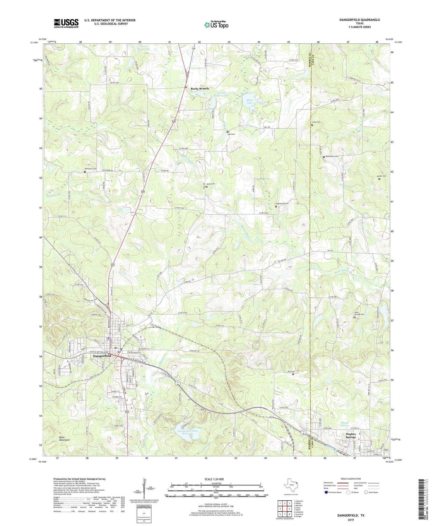
2022 topographic map quadrangle Daingerfield in the state of Texas. Scale: 1:24000. Based on the newly updated USGS 7.5' US Topo map series, this map is in the following counties: Morris, Cass. The map contains contour data, water features, and other items you are used to seeing on USGS maps, but also has updated roads and other features. This is the next generation of topographic maps. Printed on high-quality waterproof paper with UV fade-resistant inks.
Quads adjacent to this one:
West: Cason
Northwest: Cookville
North: Naples
Northeast: Marietta
East: Sardis
Southeast: Avinger
South: Lone Star
Southwest: Lafayette
This map covers the same area as the classic USGS quad with code o33094a6.
Contains the following named places: Ahoads School, Barber Cemetery, Bethlehem Cemetery, Bethlehem Church, Bradfield Church, City of Daingerfield, County Line Church, Daingerfield, Daingerfield Division, Daingerfield Fire Department, Daingerfield High School, Daingerfield Junior High School, Daingerfield Municipal Building, Daingerfield Police Department, Daingerfield Post Office, Daingerfield State Park, Daingerfield State Park Dam, Daingerfield State Park Lake, Daingerfield State Park Trail, Day Cemetery, Fellowship Baptist Church, First United Methodist Church - Daingerfield, Florence Dam, Florence Lake, Hall Cemetery, Holly Springs Cemetery, Hughes Springs, Irvin Park, Jerome Wolfson Dam, Jerome Wolfson Lake, Jones Cemetery, KEGG-AM (Daingerfield), KWSK-FM (Daingerfield), Lewis Cemetery, Minor Lake, Minor Lake Dam, Morris County, Morris County Constable's Office Precinct 2, Morris County Courthouse, Morris County Jail, Morris County Sheriff's Office, Mount Zion Church, Old Morris County Courthouse, Presbyterian Church Cumberland, Rocky Branch, Rocky Branch Volunteer Fire Department, South Elementary School, South Side School, Wakefield Cemetery, West Elementary School, West Side School, Whitmore Cemetery, ZIP Code: 75638


