MyTopo
Harpersville Texas US Topo Map
Couldn't load pickup availability
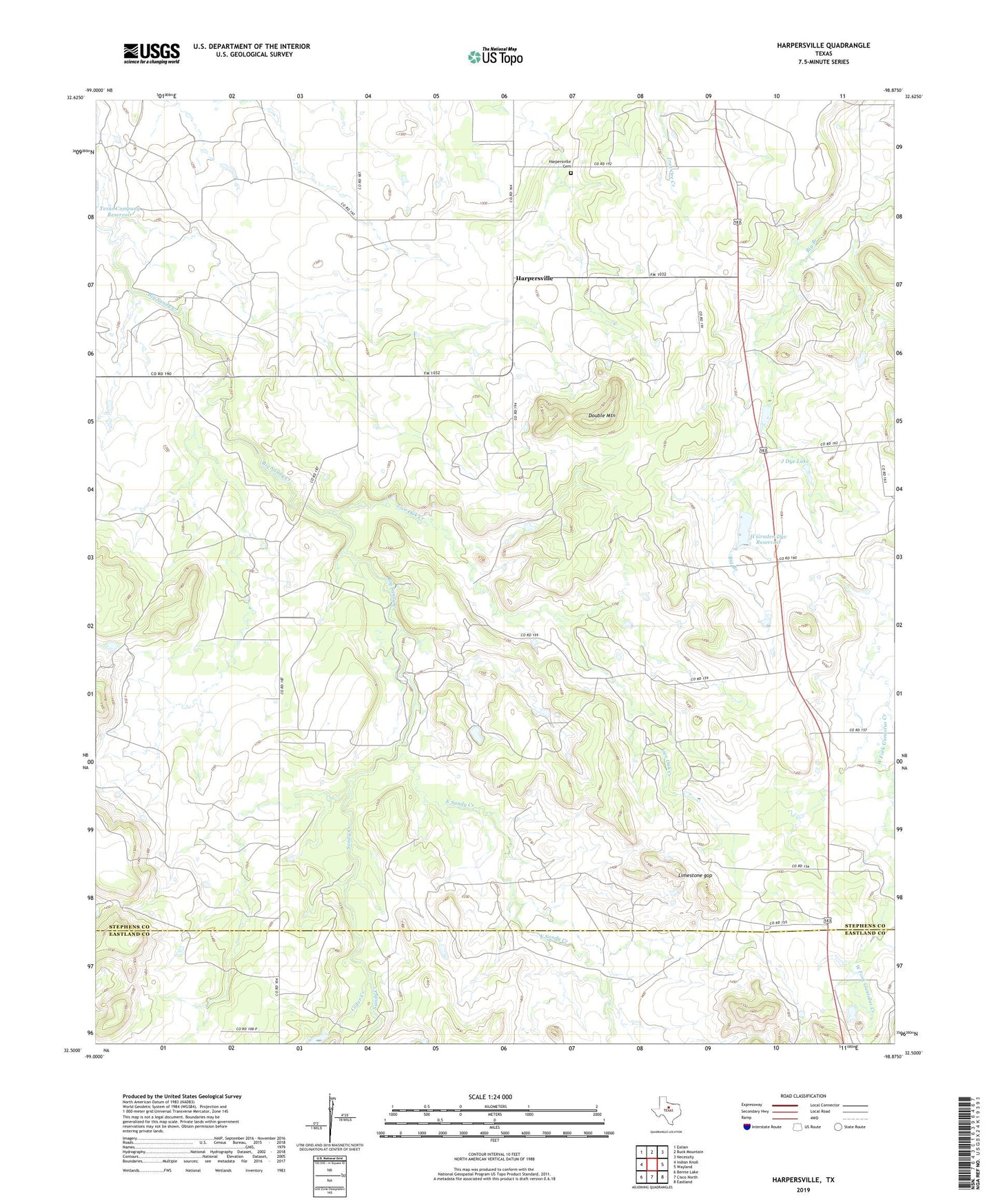
2022 topographic map quadrangle Harpersville in the state of Texas. Scale: 1:24000. Based on the newly updated USGS 7.5' US Topo map series, this map is in the following counties: Stephens, Eastland. The map contains contour data, water features, and other items you are used to seeing on USGS maps, but also has updated roads and other features. This is the next generation of topographic maps. Printed on high-quality waterproof paper with UV fade-resistant inks.
Quads adjacent to this one:
West: Indian Knoll
Northwest: Eolian
North: Buck Mountain
Northeast: Necessity
East: Wayland
Southeast: Eastland
South: Cisco North
Southwest: Bernie Lake
This map covers the same area as the classic USGS quad with code o32098e8.
Contains the following named places: Cedar Creek, Double mountain, East Sandy Creek, H Graden Dye Dam, H Graden Dye Reservoir, Harpersville, Harpersville cemetery, J Dye Lake, J Dye Lake Dam, Limestone gap, Little Flock Church, Live Oak Creek, Sandy Creek, Texas Company Reservoir