MyTopo
Richmond Texas US Topo Map
Couldn't load pickup availability
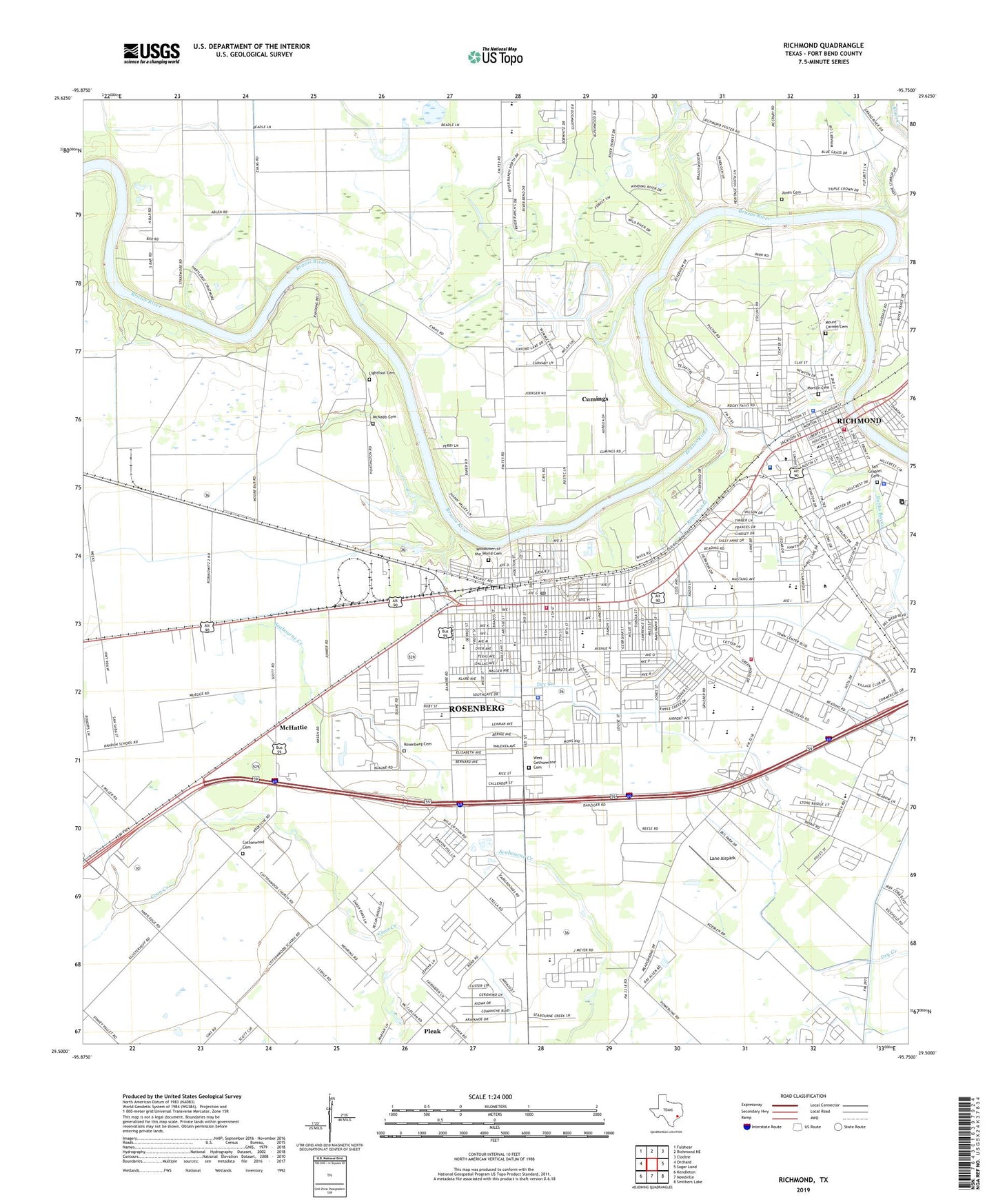
2022 topographic map quadrangle Richmond in the state of Texas. Scale: 1:24000. Based on the newly updated USGS 7.5' US Topo map series, this map is in the following counties: Fort Bend. The map contains contour data, water features, and other items you are used to seeing on USGS maps, but also has updated roads and other features. This is the next generation of topographic maps. Printed on high-quality waterproof paper with UV fade-resistant inks.
Quads adjacent to this one:
West: Orchard
Northwest: Fulshear
North: Richmond NE
Northeast: Clodine
East: Sugar Land
Southeast: Smithers Lake
South: Needville
Southwest: Kendleton
This map covers the same area as the classic USGS quad with code o29095e7.
Contains the following named places: Alternative Learning Center, Assoc Canal, B F Terry High School, Bamore Road Baptist Church, Beasley Volunteer Fire Department, Bowie Elementary School, Bowie School, Brazos Park, Calvary School, City of Richmond, City of Rosenberg, Coastal Plains Baptist Area Church, Community Center School, Cottonwood Cemetery, Crockett School, Cumings, Cumings Census Designated Place, Davis Memorial Park, Deaf Smith School, First Assembly of God Rosenberg Church, First Hispanic Free Methodist Church, First Mexican Baptist Church, First Presbyterian Church of Rosenberg, First United Methodist Church Rosenberg, Fort Bend County, Fort Bend County Alternative School, Fort Bend County Constable's Office Precinct 1, Fort Bend County Courthouse, Fort Bend County Emergency Medical Services, Fort Bend County Jail, Fort Bend County Sheriff's Office, Fort Bend Museum, Garcia Memorial Park, George Junior High School, Grace Baptist Church, Greater Zion Baptist Church, Greenlawn Memorial Park, Holy Rosary Catholic Church, Holy Rosary Catholic School, J J Wessendorff Middle School, Jackson Elementary School, Jane Long Elementary School, Jane Long School, Jones Cemetery, Jones Creek, Juan Seguin Elementary School, KMIA-FM (Rosenberg), KMPQ-AM (Rosenberg-Richmond), Lamar Consolidated High School, Lamar Junior High School, Lane Airpark, Latin American Assembly of God Church, Lightfoot Cemetery, Living Water Christian School, McHattie, McNabb Cemetery, Meyer Elementary School, Morton Cemetery, Mount Carmel Cemetery, Mount Olive Church, Mount Vernon Missionary Baptist Church, Mount Vernon United Methodist Church, Navarro Middle School, Nazareth Baptist Church, New Covenant Fellowship Church, Oakbend Medical Center - Jackson Street Hospital Campus, Peace Lutheran Church, PHI Air Medical Group Skymed, Primera Iglesia Bautista de Richmond Church, Prince of Peace Baptist Church, Richmond, Richmond City Park, Richmond Fire Department Station 1, Richmond Police Department, Richmond Post Office, Richmond State School, River Bend Park, Robert E Lee School, Rosenberg, Rosenberg Cemetery, Rosenberg Division, Rosenberg Fire Department, Rosenberg Fire Department Administration, Rosenberg Fire Department Station 1, Rosenberg Fire Department Station 2, Rosenberg Police Department, Rosenberg Post Office, Saint John Fisher Church, Saint Johns United Methodist Church, Saint Marks Episcopal Church, San Grabiel Cemetery, Second Baptist Church, Second Mount Carmel Baptist Church, Segunda Bautista Iglesia, Seventh Day Adventist Church, Shiloh Baptist Church, Smith Chapel African Methodist Episcopal Church, Smith Elementary School, Sunset Park, T L Pink Elementary School, Taylor Ray Elementary School, Texana Center - Rosenberg Behavioral Healthcare Clinic, Texas Department of Public Safety - Highway Patrol Office, The Church of Jesus Christ of Latter Day Saints, Travis Elementary School, Travis Park, Travis School, Traylor Stadium, Trinity Lutheran Church, United Methodist Church Saint Lukes, West Gethsemane Cemetery, West Jackson High School, Wilson Memorial Temple Church of God in Christ, Word of God Fellowship Church, Youth Opportunity Unlimited School, ZIP Code: 77471


