MyTopo
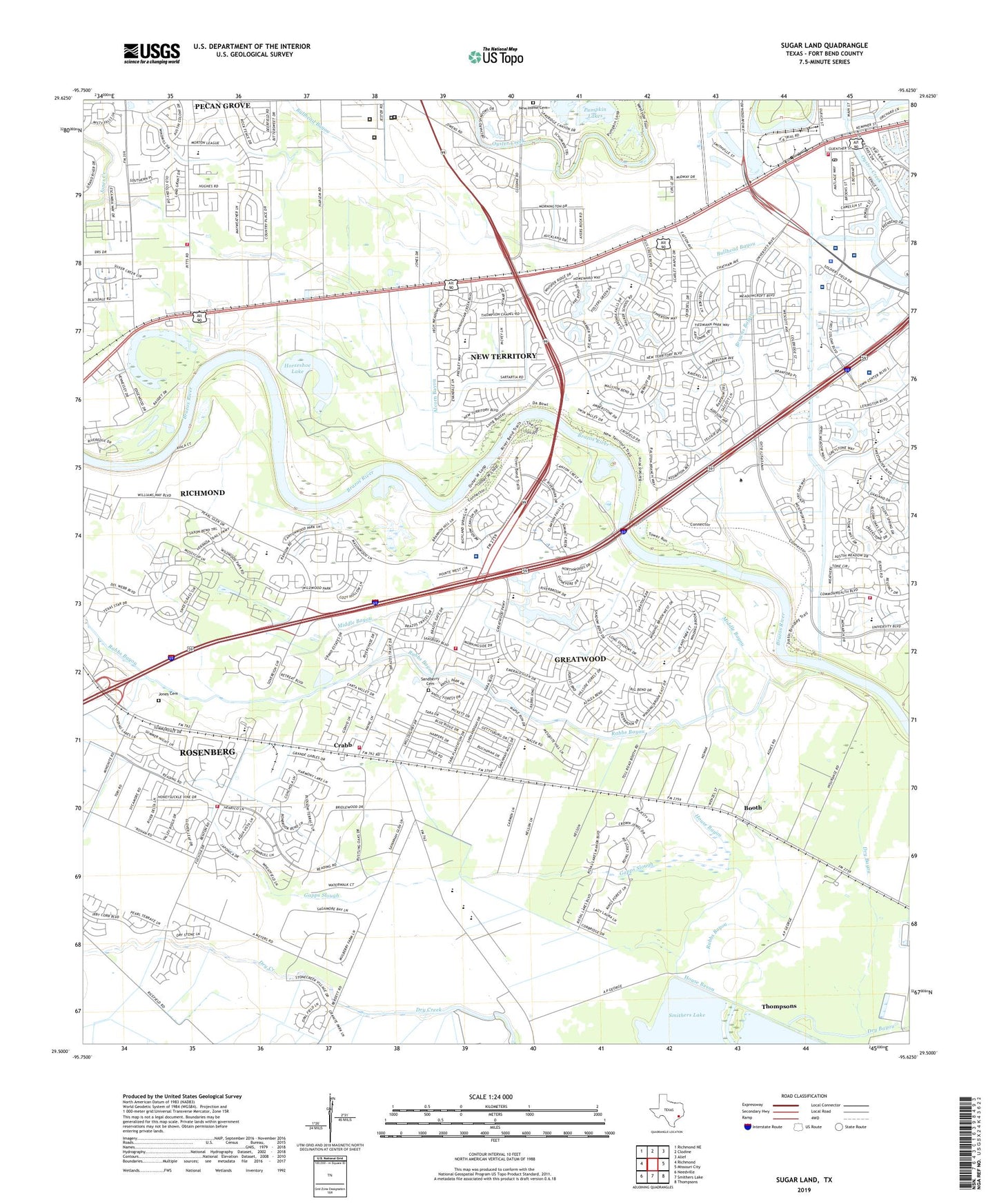
Sugar Land Texas US Topo Map
Couldn't load pickup availability
2022 topographic map quadrangle Sugar Land in the state of Texas. Scale: 1:24000. Based on the newly updated USGS 7.5' US Topo map series, this map is in the following counties: Fort Bend. The map contains contour data, water features, and other items you are used to seeing on USGS maps, but also has updated roads and other features. This is the next generation of topographic maps. Printed on high-quality waterproof paper with UV fade-resistant inks.
Quads adjacent to this one:
West: Richmond
Northwest: Richmond NE
North: Clodine
Northeast: Alief
East: Missouri City
Southeast: Thompsons
South: Smithers Lake
Southwest: Needville
This map covers the same area as the classic USGS quad with code o29095e6.
Contains the following named places: Booth, Brazos Bend Elementary School, Bridlewood Estates, Brooks Cleveland and Char Lakes, Brooks Lake, Char Lake, City of Sugar Land, City of Sugar Land Fire Department, Clements High School, Cleveland Lake, Colony Meadows Elementary School, Crabb, Dickinson Elementary School, Dry Bayou, Faith Lutheran Church, Fort Bend WCID 1 Oyster Creek Dam 1, Fort Bend WCID 1 Oyster Creek Dam 2, Gapps Slough, Greater New Prospect Baptist Church, Greatwood, Greatwood Census Designated Place, Greatwood Presbyterian Church, Greatwood Trails, Greatwood Village, Hall Lake, Harlem, HealthSouth Sugar Land Rehabilitation Hospital, Holy Cross Episcopal Church, Horseshoe Lake, Hospital for Surgical Excellence of Oak Bend, House Bayou, Houston Methodist Sugar Land Hospital, International Christian Network Church, Jones Cemetery, Joy Lutheran Church, Juvenile Detention Center Alternative School, Kindred Hospital - Sugar Land, Lakeview Elementary School, Manford Williams Elementary School, Memorial Hermann Sugar Land Hospital, Methodist Health Center, Middle Bayou, Mount Moriah Baptist Church, Mount Moriah Church, Mount Zion Church, New Home Cemetery, New Territory, New Territory Census Designated Place, Old River Lake, Oyster Creek Channel Reservoir, Parkway United Methodist Church, Pecan Grove Census Designated Place, Pecan Grove Fire Department, Pecan Grove Plantation, Pilgrim Journey Baptist Church, Pilgrim Journey Church, Pumpkin Lakes, Rabbs Hill, Richmond Fire Department Station 2, Riverbend Montessori School, Sandberry Cemetery, Santarita Middle School, Sartartia, Stephen F Austin Elementary School, Sugar Land, Sugar Land Community Center, Sugar Land Division, Sugar Land Fire Department Station 1, Sugar Land Fire Department Station 5, Sugar Land Fire Department Station 6, Sugar Land Police Department, Sugar Land Post Office, Susanna Dickinson Elementary School, Sweetwater Plaza Shopping Center, Texas Department of Criminal Justice Beauford H Jesper IV Unit, Texas Department of Criminal Justice Beauford H Jester I Unit, Texas Department of Criminal Justice Beauford H Jester III Unit, Texas Department of Criminal Justice Carol S Vance Unit, Thompson Chapel, Thompson Chapel Baptist Church, Venetian Estates Section 2, Walker Station Elementary School, Williams Trace Baptist Church, Zion Church, Zion Hill Church, ZIP Code: 77479


