MyTopo
Smithwick Texas US Topo Map
Couldn't load pickup availability
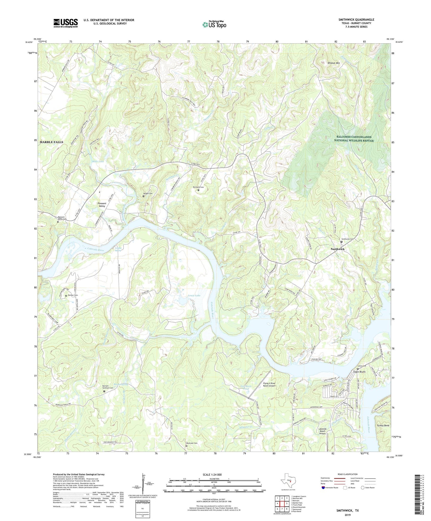
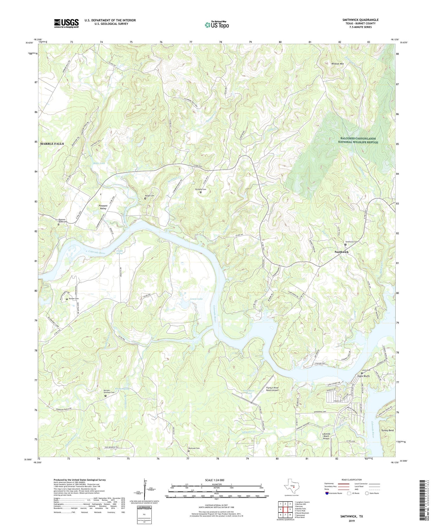
2019 topographic map quadrangle Smithwick in the state of Texas. Scale: 1:24000. Based on the newly updated USGS 7.5' US Topo map series, this map is in the following counties: Burnet. The map contains contour data, water features, and other items you are used to seeing on USGS maps, but also has updated roads and other features. This is the next generation of topographic maps. Printed on high-quality waterproof paper with UV fade-resistant inks.
Quads adjacent to this one:
West: Marble Falls
Northwest: Longhorn Cavern
North: Mormon Mill
Northeast: Bertram
East: Travis Peak
Southeast: Pace Bend
South: Spicewood
Southwest: Round Mountain
Contains the following named places: Alligator Creek, Bible Lake, Bible Lake Dam, Burnam - Smithart Cemetery, Burnam Spring, Camp Creek, Camp Creek Trail, Camp Peniel, Double Horn Creek, Eagle Bluffs, Flying X River Ranch Airport, Gridiron Branch, Hamilton Creek, Hickory Creek, Lakeside Beach Airport, Lewis Cemetery, Lewis Dam, Lewis Lake, Marble Falls Division, Pangle Cemetery, Pleasant Valley, Pleasant Valley Cemetery, Post Creek, Proffitt Spring, Richland Cemetery, Richter Cemetery, Rockvale Cemetery, Smithwick, Smithwick Cemetery, Sycamore Creek, Wildcat Mountain, Yett Basin Pond, ZIP Code: 78654