MyTopo
Mormon Mill Texas US Topo Map
Couldn't load pickup availability
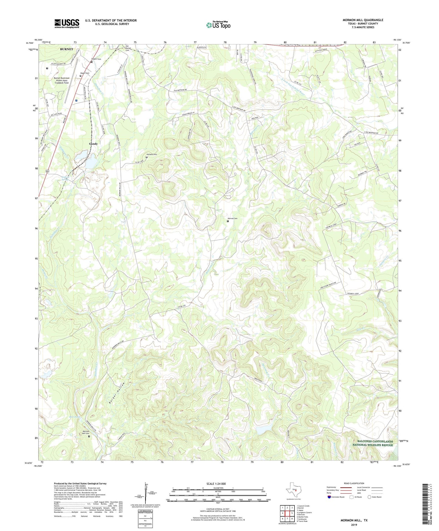
2022 topographic map quadrangle Mormon Mill in the state of Texas. Scale: 1:24000. Based on the newly updated USGS 7.5' US Topo map series, this map is in the following counties: Burnet. The map contains contour data, water features, and other items you are used to seeing on USGS maps, but also has updated roads and other features. This is the next generation of topographic maps. Printed on high-quality waterproof paper with UV fade-resistant inks.
Quads adjacent to this one:
West: Longhorn Cavern
Northwest: Council Creek
North: Burnet
Northeast: Joppa
East: Bertram
Southeast: Travis Peak
South: Smithwick
Southwest: Marble Falls
This map covers the same area as the classic USGS quad with code o30098f2.
Contains the following named places: Burger Hollow, Burnet Municipal Airport Kate Craddock Field, City of Burnet, Delaware Creek, Flippin Cemetery, Gandy, Hairston Creek, Haynie Branch, Holland Cemetery, Holland Springs, Honey Creek, Magill Cemetery, Mill Pond, Morman Mill Cemetery, Mormon Mill Historical Site, Norred Cemetery, Seton Highland Lakes Hospital, Texas Department of Criminal Justice Ellen Halbert Unit