MyTopo
Ashford Washington US Topo Map
Couldn't load pickup availability
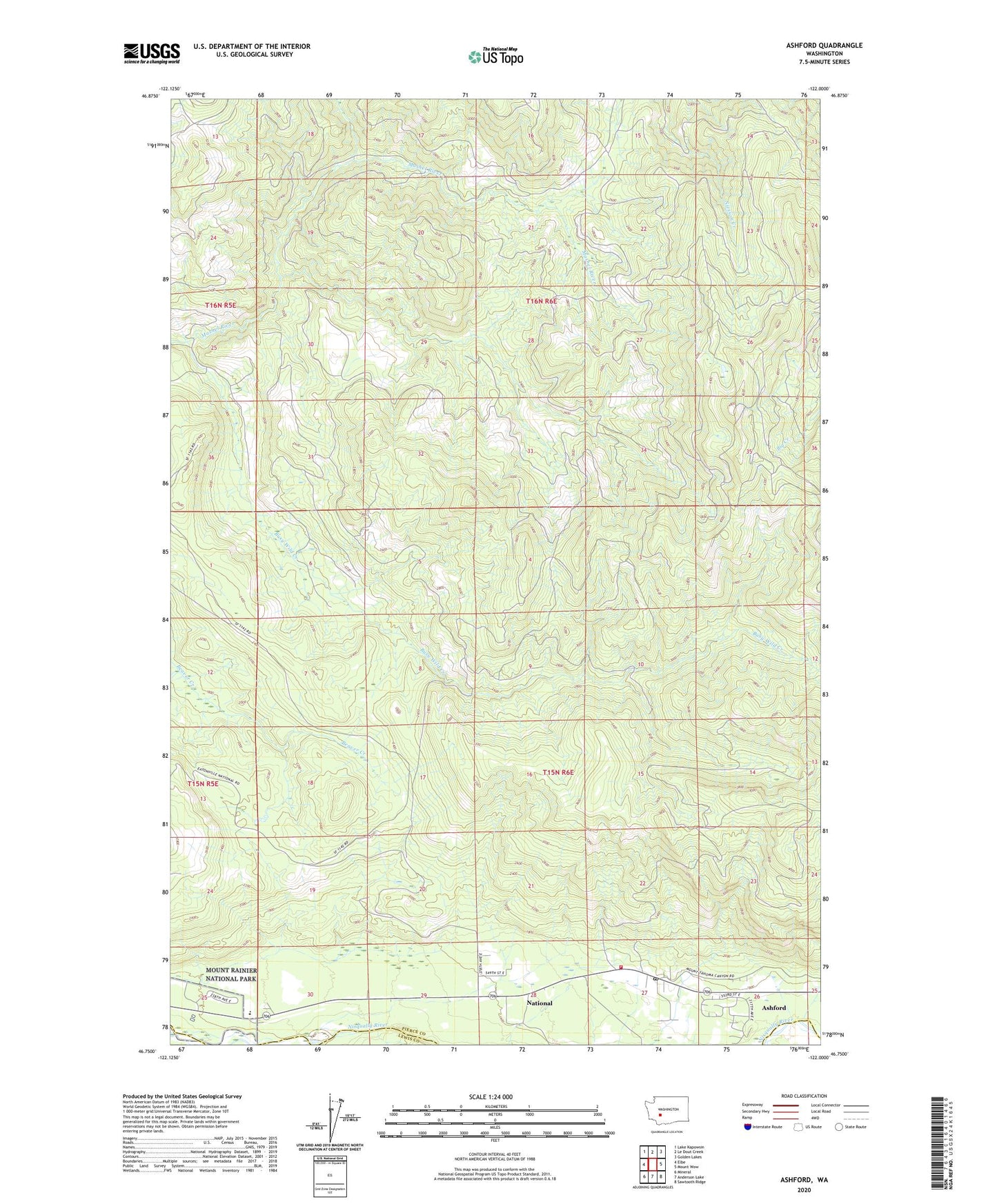
2023 topographic map quadrangle Ashford in the state of Washington. Scale: 1:24000. Based on the newly updated USGS 7.5' US Topo map series, this map is in the following counties: Pierce, Lewis. The map contains contour data, water features, and other items you are used to seeing on USGS maps, but also has updated roads and other features. This is the next generation of topographic maps. Printed on high-quality waterproof paper with UV fade-resistant inks.
Quads adjacent to this one:
West: Elbe
Northwest: Lake Kapowsin
North: Le Dout Creek
Northeast: Golden Lakes
East: Mount Wow
Southeast: Sawtooth Ridge
South: Anderson Lake
Southwest: Mineral
This map covers the same area as the classic USGS quad with code o46122g1.
Contains the following named places: Ashford, Ashford Census Designated Place, Ashford Post Office, Busy Wild Creek, Columbia Crest Elementary School, Elbe Hills Trailhead, Hewitt Landing Strip, National, Pierce County Fire District 23 Station 1, Tahoma Woods