MyTopo
Baker Pass Washington US Topo Map
Couldn't load pickup availability
Also explore the Baker Pass Forest Service Topo of this same quad for updated USFS data
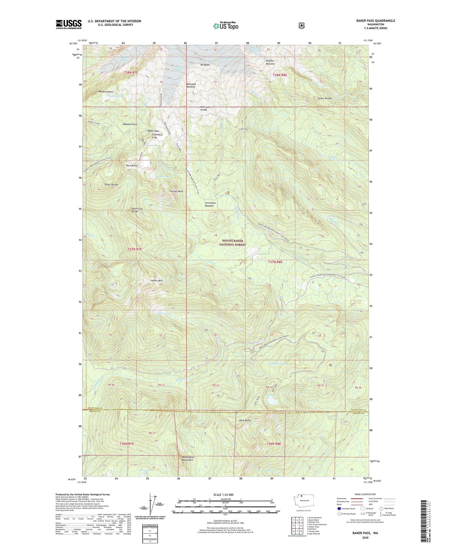
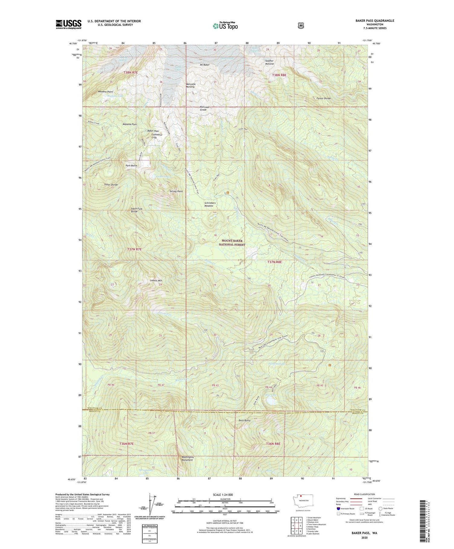
2023 topographic map quadrangle Baker Pass in the state of Washington. Scale: 1:24000. Based on the newly updated USGS 7.5' US Topo map series, this map is in the following counties: Whatcom, Skagit. The map contains contour data, water features, and other items you are used to seeing on USGS maps, but also has updated roads and other features. This is the next generation of topographic maps. Printed on high-quality waterproof paper with UV fade-resistant inks.
Quads adjacent to this one:
West: Twin Sisters Mountain
Northwest: Groat Mountain
North: Mount Baker
Northeast: Shuksan Arm
East: Welker Peak
Southeast: Lake Shannon
South: Grandy Lake
Southwest: Hamilton
This map covers the same area as the classic USGS quad with code o48121f7.
Contains the following named places: Baby Lake, Baker Pass, Blue Lake, Cathedral Crag, Crag View, Dock Butte, Dock Butte Lookout, Forest Divide, Loomis Creek, Loomis Mountain, Mazama Lake, Mazama Park, Meadow Point, Metcalfe Moraine, Park Butte, Park Butte Lookout, Pocket Lake, Railroad Grade, Schriebers Meadow, Schriebers Meadow Trailhead, South Fork Divide, Sulphur Moraine, Survey Point, Tuckway Lake, Washington Monument