MyTopo
Mayfield Lake Washington US Topo Map
Couldn't load pickup availability
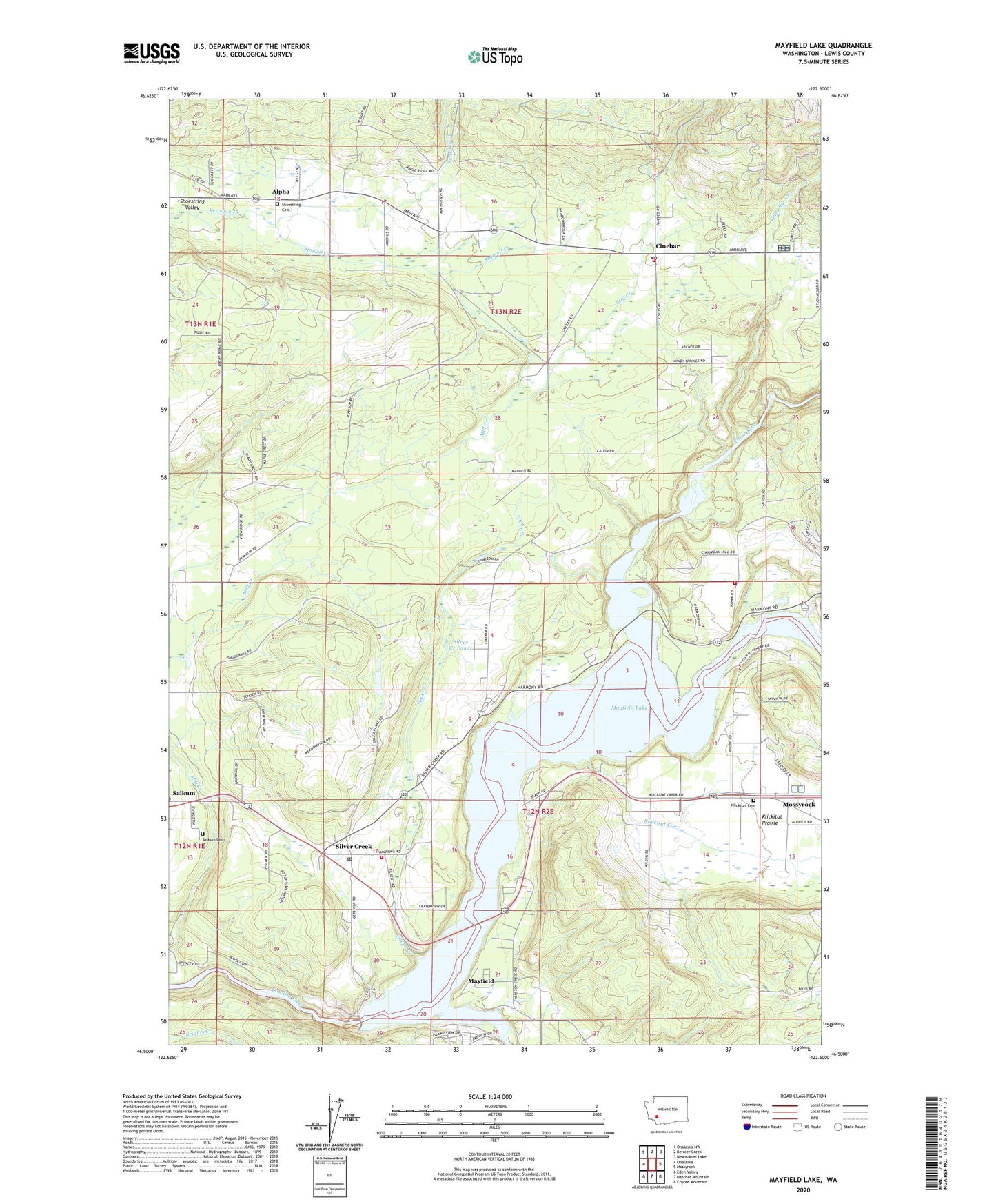
2023 topographic map quadrangle Mayfield Lake in the state of Washington. Scale: 1:24000. Based on the newly updated USGS 7.5' US Topo map series, this map is in the following counties: Lewis. The map contains contour data, water features, and other items you are used to seeing on USGS maps, but also has updated roads and other features. This is the next generation of topographic maps. Printed on high-quality waterproof paper with UV fade-resistant inks.
Quads adjacent to this one:
West: Onalaska
Northwest: Onalaska NW
North: Bernier Creek
Northeast: Newaukum Lake
East: Mossyrock
Southeast: Coyote Mountain
South: Hatchet Mountain
Southwest: Eden Valley
This map covers the same area as the classic USGS quad with code o46122e5.
Contains the following named places: Alpha, Cinebar, Cinebar Post Office, Cinnabar Creek, Cole Creek, Ike Kinswa Campground, Ike Kinswa State Park, Klickitat Cemetery, Klickitat Creek, Klickitat Prairie, Koa Dam Number One, KOA Dam Number Two, Lewis County Fire District 3 Station 3, Lewis County Fire District 8 Station 2, Lewis County Fire District 8 Station 4, Mayfield, Mayfield County Park, Mayfield Dam, Mayfield Lake, Mossyrock Trout Hatchery, Salkum Cemetery, Shoestring Cemetery, Shoestring Valley, Silver Creek, Silver Creek Ponds, Silver Creek Post Office, Stowell Creek, Tilton River, Winston Creek