MyTopo
Potter Hill Washington US Topo Map
Couldn't load pickup availability
Also explore the Potter Hill Forest Service Topo of this same quad for updated USFS data
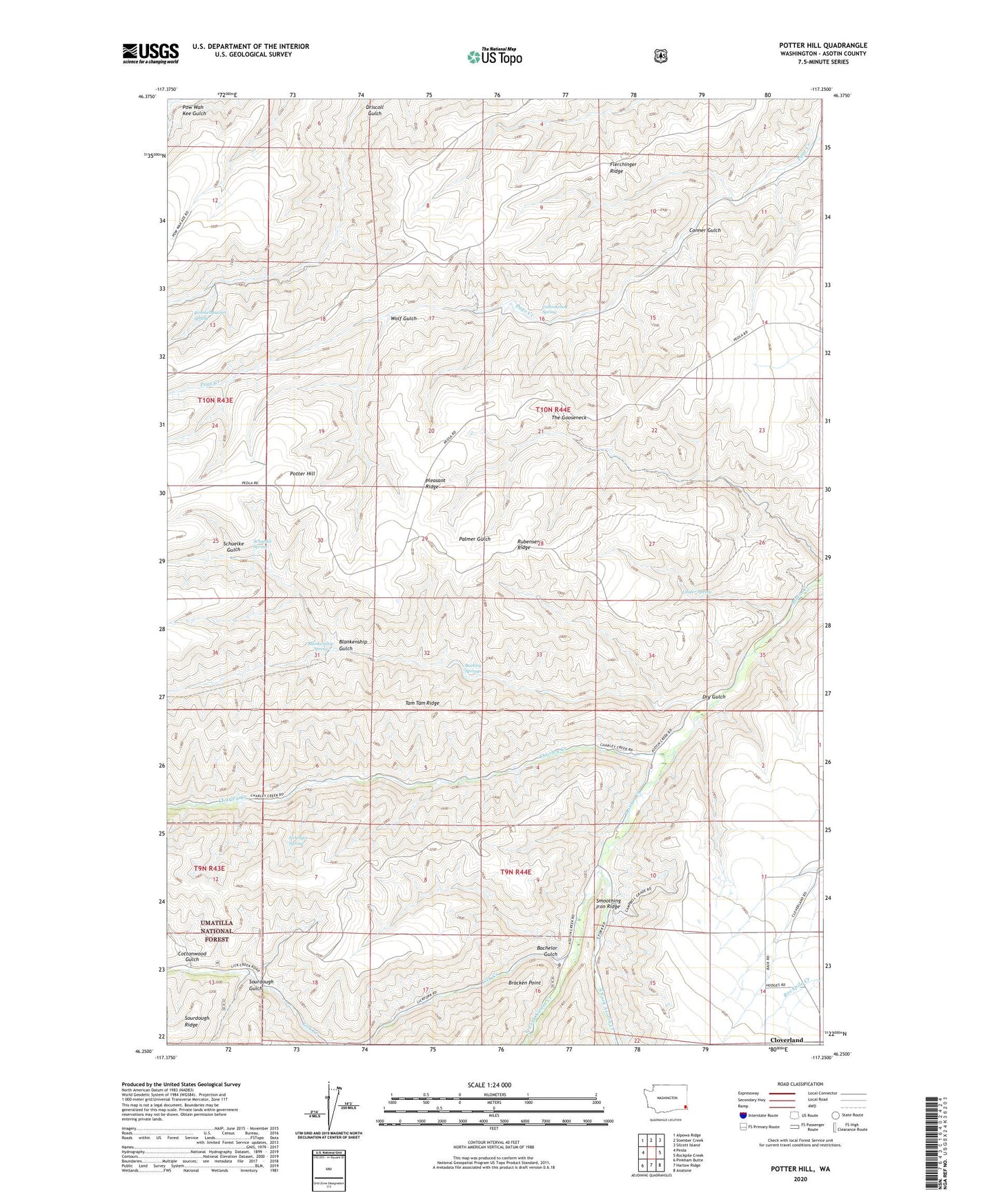
2023 topographic map quadrangle Potter Hill in the state of Washington. Scale: 1:24000. Based on the newly updated USGS 7.5' US Topo map series, this map is in the following counties: Asotin. The map contains contour data, water features, and other items you are used to seeing on USGS maps, but also has updated roads and other features. This is the next generation of topographic maps. Printed on high-quality waterproof paper with UV fade-resistant inks.
Quads adjacent to this one:
West: Peola
Northwest: Alpowa Ridge
North: Stember Creek
Northeast: Silcott Island
East: Rockpile Creek
Southeast: Anatone
South: Harlow Ridge
Southwest: Pinkham Butte
This map covers the same area as the classic USGS quad with code o46117c3.
Contains the following named places: Asotin Game Range Headquarters, Asotin State Wildlife Recreation Area, Bachelor Gulch, Blankenship Gulch, Blankenship Spring, Bracken Point, Buckley Springs, Charley Creek, Clarkston Division, Cloverland, Conner Gulch, Cottonwood Gulch, Cottonwood Spring, Dry Gulch, Foredyce Spring, Laufer Spring, Lick Creek, North Fork Asotin Creek, Potter Hill, Rimmelspacher Spring, Rubenser Ridge, Schuelke Gulch, Schuelke Spring, Sourdough Gulch, South Fork Asotin Creek, Tam Tam Ridge, The Gooseneck, Wolf Gulch, ZIP Code: 99403