MyTopo
Perote Lake Wisconsin US Topo Map
Couldn't load pickup availability
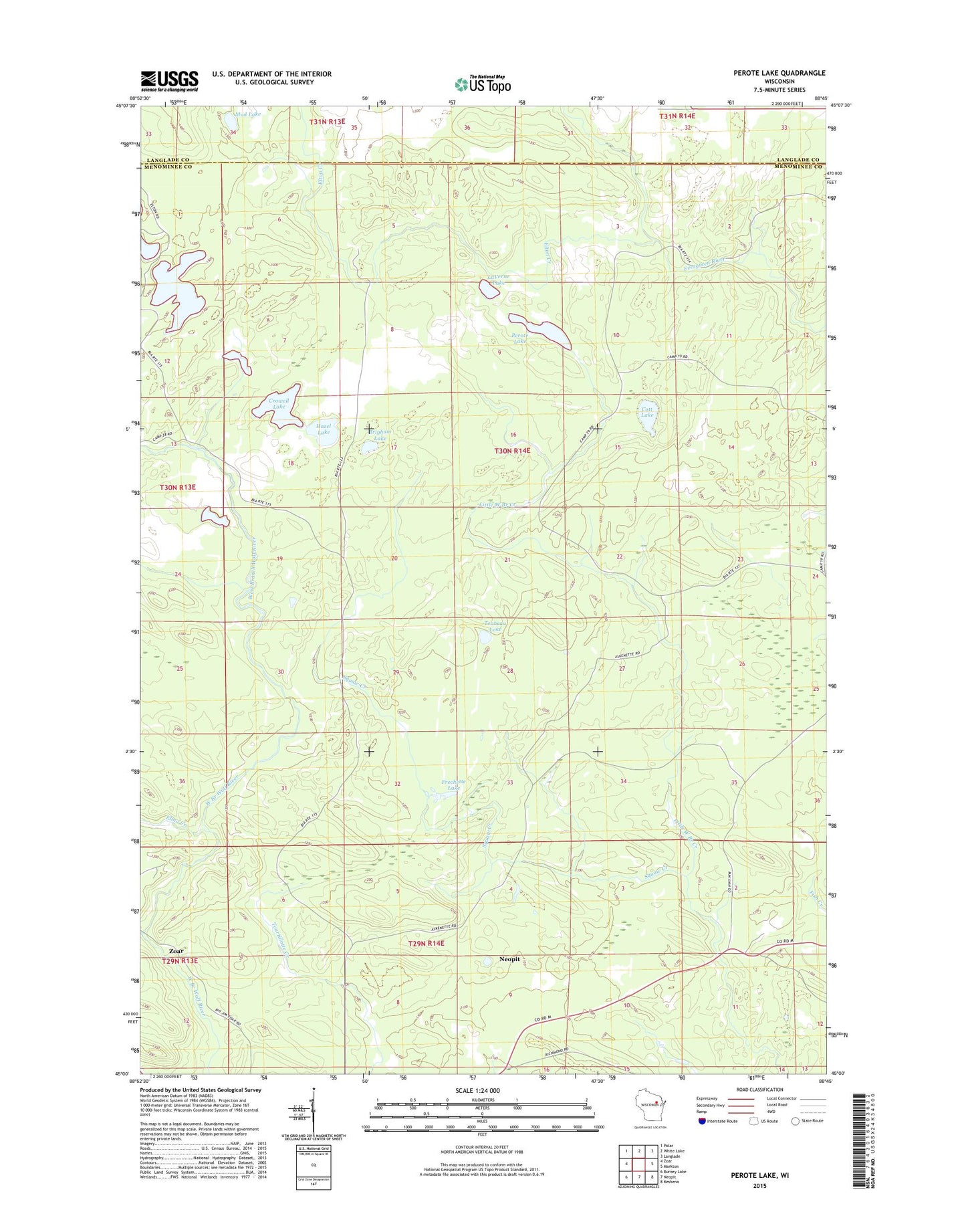
2023 topographic map quadrangle Perote Lake in the state of Wisconsin. Scale: 1:24000. Based on the newly updated USGS 7.5' US Topo map series, this map is in the following counties: Menominee, Langlade. The map contains contour data, water features, and other items you are used to seeing on USGS maps, but also has updated roads and other features. This is the next generation of topographic maps. Printed on high-quality waterproof paper with UV fade-resistant inks.
Quads adjacent to this one:
West: Zoar
Northwest: Polar
North: White Lake
Northeast: Langlade
East: Markton
Southeast: Keshena
South: Neopit
Southwest: Burney Lake
This map covers the same area as the classic USGS quad with code o45088a7.
Contains the following named places: Brigham Lake, Cott Lake, Crowell Lake, Dutchman Lookout Tower, Elma Creek, Elton Creek, Frechette Lake, Hazel Lake, LaVerne Lake, Mud Lake, Perote, Perote Lake, Squaw Creek, Teabeau Lake