MyTopo
Waldwick Wisconsin US Topo Map
Couldn't load pickup availability
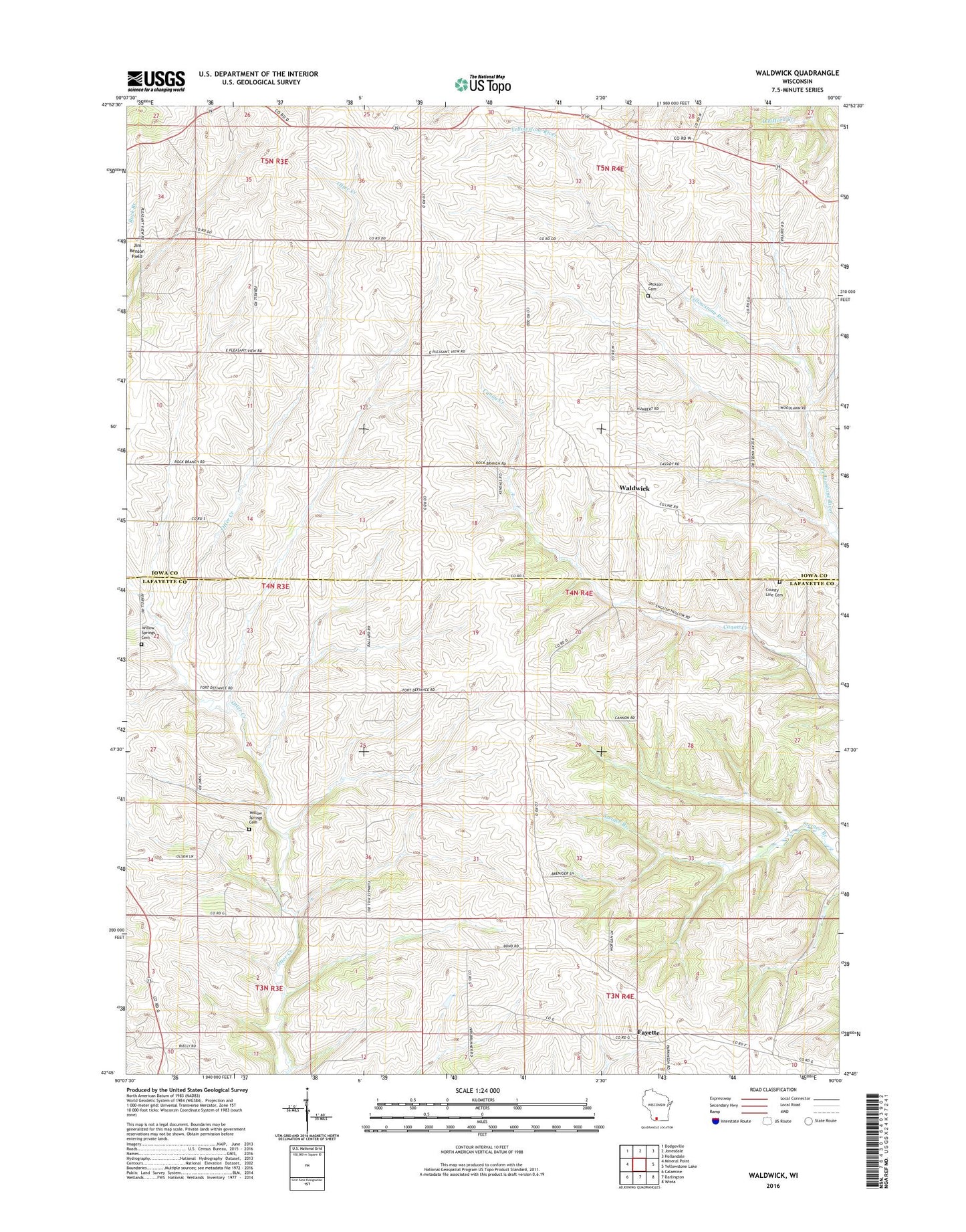
2022 topographic map quadrangle Waldwick in the state of Wisconsin. Scale: 1:24000. Based on the newly updated USGS 7.5' US Topo map series, this map is in the following counties: Iowa, Lafayette. The map contains contour data, water features, and other items you are used to seeing on USGS maps, but also has updated roads and other features. This is the next generation of topographic maps. Printed on high-quality waterproof paper with UV fade-resistant inks.
Quads adjacent to this one:
West: Mineral Point
Northwest: Dodgeville
North: Jonesdale
Northeast: Hollandale
East: Yellowstone Lake
Southeast: Wiota
South: Darlington
Southwest: Calamine
This map covers the same area as the classic USGS quad with code o42090g1.
Contains the following named places: Bethel Church, Broad View School, County Line Cemetery, Fayette, Graceland Cemetery, J and B Dairy Farms, Jackson School, Komprood Dairy Farm, Pleasant View Church, Town of Fayette, Town of Waldwick, Waldwick, Willow Springs Cemetery