MyTopo
Cow Creek Wyoming US Topo Map
Couldn't load pickup availability
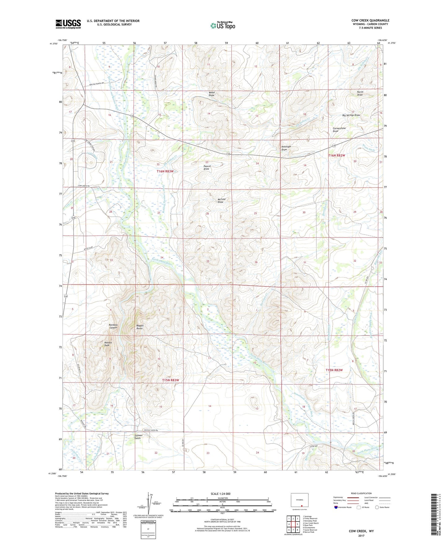
2021 topographic map quadrangle Cow Creek in the state of Wyoming. Scale: 1:24000. Based on the newly updated USGS 7.5' US Topo map series, this map is in the following counties: Carbon. The map contains contour data, water features, and other items you are used to seeing on USGS maps, but also has updated roads and other features. This is the next generation of topographic maps. Printed on high-quality waterproof paper with UV fade-resistant inks.
Quads adjacent to this one:
West: Cow Creek Ranch
Northwest: Saratoga
North: Finley Reservoir
Northeast: Kennaday Peak
East: Ryan Park
Southeast: Barcus Peak
South: Gunst Reservoir
Southwest: Encampment
This map covers the same area as the classic USGS quad with code o41106c6.
Contains the following named places: Adams Ditch, Antelope Draw, Baggot Rocks, Beaver Creek, Big Springs Draw, Brush Creek Supply Ditch, Canyon, Cherokee Creek, Cornerstone Draw, Cow Creek, Cyclops Ditch, Days, Donzelman and Tilton Ditch, Elk Hollow Creek, Elk Hollow Ditch, Elk Hollow Ranch, Encampment Platte Valley Ditch, Encampment River, Flying Diamond Ranch, Harrison Creek, Hopkins Number 1 Ditch, Loski Ditch, McCold Draw, Needle Peak, North Draw, Paine Deposit, Pearce Draw, Rainbow Canyon, Rainbow Ranch, Reynolds Run, Ridding Number 1 Ditch, Ryan Ranch, Sixteen Gulch, Windall Ditch, Wood Draw, Wyco Club